
Kororoit Creek Trail
A growing network of trails offering peaceful bushland walks and cycling routes in Melbourne's west.
Highlights
Must-see attractions

Social
From TikTok & Reddit
Best Time
Fewer crowds, peaceful atmosphere
Kororoit Creek Trail
Best Time
Fewer crowds, peaceful atmosphere
Highlights
Must-see attractions
A growing network of trails offering peaceful bushland walks and cycling routes in Melbourne's west.
"A treasure in the West, offering a great linear corridor of bushland with walking tracks."

🗺️ Check Trail Maps
Trail connectivity is expanding; verify the latest maps for seamless journeys. :world_map:
🚴♀️ Cycling Routes
Connects to Federation Trail & Skeleton Creek for longer rides. :cyclist:

Quick Facts
Highlights
Discover the most iconic attractions and experiences
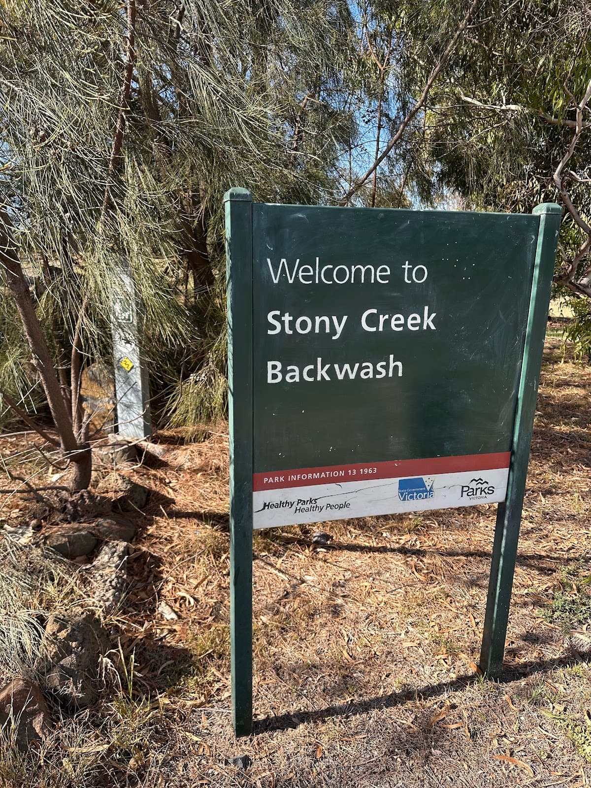
Expanding Trail Network
Various sections connecting Brooklyn, Altona, and beyond
Experience the growing connectivity of the Kororoit Creek Trail, linking suburbs and major cycling routes.
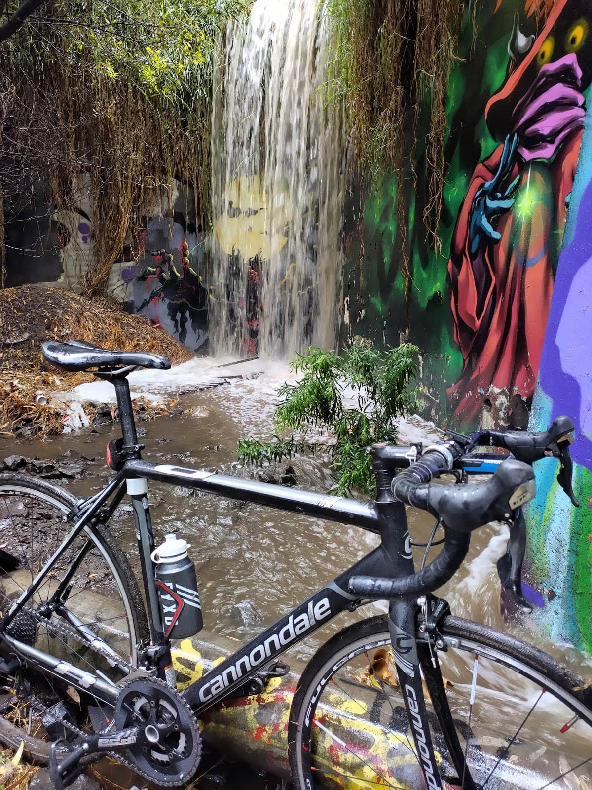
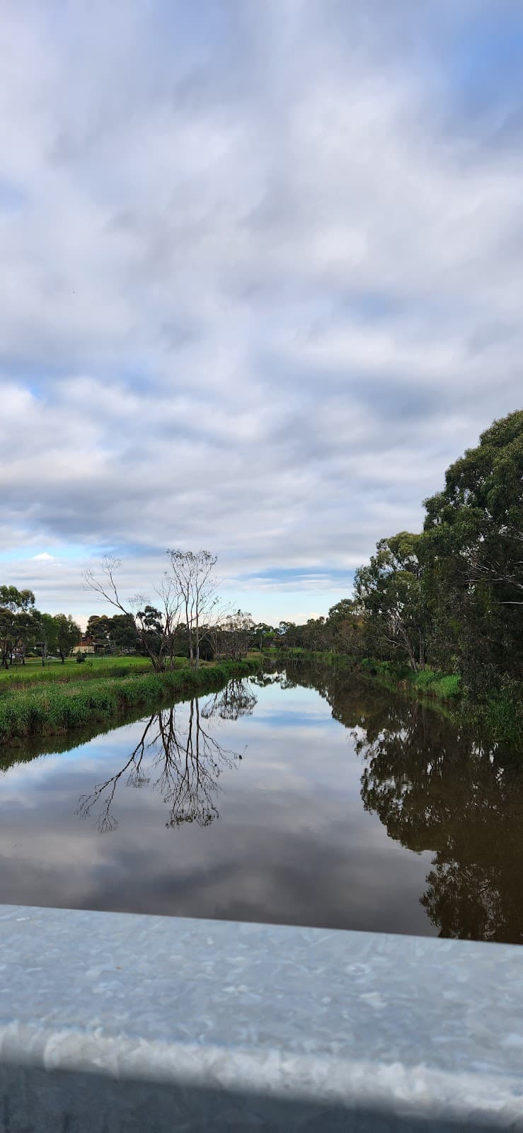
Bushland Serenity
Along Kororoit Creek
Discover a peaceful linear corridor of bushland, offering a tranquil escape for walkers and cyclists.
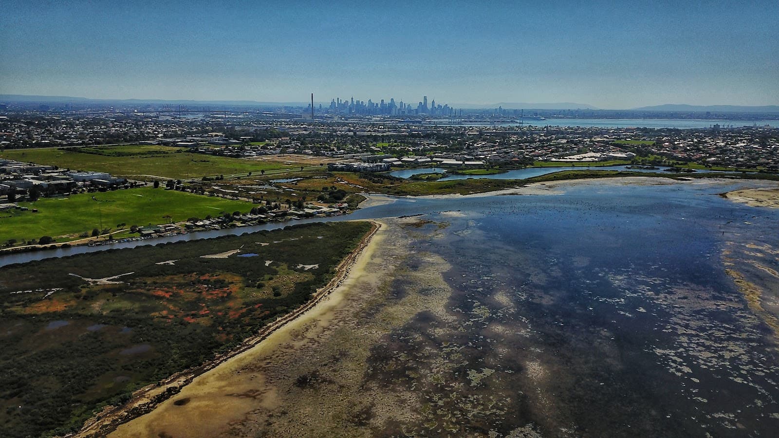
Cycling Adventure
Entire length of the trail
Enjoy a scenic ride, connecting to other trails like Federation Trail and Skeleton Creek.
Plans like a pro.
Thinks like you
Planning Your Visit
Trail Connectivity is Key
Embrace the Outdoors
Best Times
Insider Tips
from TikTok, Instagram & Reddit
🗺️ Check Trail Maps
Trail connectivity is expanding; verify the latest maps for seamless journeys. +1 :world_map:
🚴♀️ Cycling Routes
Connects to Federation Trail & Skeleton Creek for longer rides. :cyclist:
💧 Bring Water & Snacks
Essential for longer walks or rides, especially on warmer days. :water_wave:
👟 Wear Comfortable Shoes
Suitable for walking, running, and cycling on varied surfaces. :athletic_shoe:
Tips
from all over the internet
🗺️ Check Trail Maps
Trail connectivity is expanding; verify the latest maps for seamless journeys. +1 :world_map:
🚴♀️ Cycling Routes
Connects to Federation Trail & Skeleton Creek for longer rides. :cyclist:
💧 Bring Water & Snacks
Essential for longer walks or rides, especially on warmer days. :water_wave:
👟 Wear Comfortable Shoes
Suitable for walking, running, and cycling on varied surfaces. :athletic_shoe:
What Travellers Say
Reviews Summary
Visitors praise the Kororoit Creek Trail as an excellent, peaceful bushland escape in Melbourne's west, highlighting its growing connectivity and potential for extensive walking and cycling routes. While some note the need for more amenities, the trail is widely regarded as a valuable natural asset.
"Excellent trail that will soon be linked to the lower Kororoit trail and eventually to cherry Lake ( i hope 🤞)"
John Horan
"A great linear corridor of bushland with walking tracks conecting to over 90ks. Beautiful and peaceful
Well worth a look. A treasure in the West."
Debbi Woods
"Cool little shopping centre"
Trevor Ross (Badger)
What People Like
What People Dislike
Frequently Asked Questions
🚇 🗺️ Getting There
Access points are available from various suburbs including Brooklyn and Altona. Many users access it via public transport to nearby stations and then cycle or walk to the trail. +1
Parking is available at several access points, such as GJ Hosken Reserve. It's advisable to check local council websites for specific parking availability near your intended starting point.
Absolutely! The trail is designed for cyclists and connects to other major cycling networks like the Federation Trail, making it ideal for bike commutes or longer rides. +1
Yes, many sections are accessible from public transport hubs. You can plan your journey using public transport apps and then connect to the trail for your activity.
Key entry points include GJ Hosken Reserve and connections to the Federation Trail. The trail is continuously being extended, so new access points may become available.
🎫 🎫 Tickets & Entry
No, the Kororoit Creek Trail is a public park and is free to access for walking, running, and cycling.
As an outdoor trail, it is generally accessible from dawn till dusk. There are no specific opening or closing times posted for the public access sections.
There is no entrance fee. The Kororoit Creek Trail is a public amenity for everyone to enjoy.
No permits are required for general recreational use like walking, running, or cycling on the Kororoit Creek Trail.
While not officially closed, it's recommended to visit during daylight hours for safety and visibility, as lighting may be limited on certain sections.
🎫 🧭 Onsite Experience
You can enjoy walking, jogging, running, cycling, and birdwatching. It's a versatile trail for various outdoor pursuits. +1
Yes, it's a great option for families looking for a safe and scenic outdoor activity. The expanding network offers more opportunities for family outings.
The terrain varies, with paved sections and some unpaved paths. It's generally well-maintained, making it suitable for most fitness levels. +1
Facilities can be limited along certain stretches. It's best to carry your own water and snacks, and plan restroom breaks at designated parks or cafes near access points.
Some sections, particularly newer paved areas, are accessible. However, older or unpaved sections might be challenging. Check recent trail updates for accessibility information. +1
📸 📸 Photography
Look for scenic views along the creek, the diverse bushland, and the modern infrastructure like new bridges and pathways. The golden hour offers beautiful light.
Yes, the bushland setting is home to various bird species and other small wildlife, offering great opportunities for nature photography.
The newly constructed sections and bridges are becoming landmarks, showcasing the trail's development. The natural creek landscape itself is a key feature. +1
Early morning or late afternoon provides the best natural light for photography, creating a softer and more atmospheric feel.
Drone regulations vary by location and park. It's essential to check with local authorities or council guidelines before flying a drone in the area.


Social
from TikTok, Instagram & Reddit