Djerring Trail
A developing urban rail trail offering a safe and scenic path for cycling and walking through Melbourne's southeastern suburbs.
Highlights
Must-see attractions

Social
From TikTok & Reddit
Best Time
Fewer crowds, pleasant weather
Djerring Trail
Best Time
Fewer crowds, pleasant weather
Highlights
Must-see attractions
A developing urban rail trail offering a safe and scenic path for cycling and walking through Melbourne's southeastern suburbs.
"A good asset for the area, showing off the new trail and how to get on it. "
🎯 Plan Your Access Point
Research entry points, especially from Caulfield Station, as signage can be inconsistent. :world_map:
🚴 Share the Path
Be courteous to other trail users – cyclists, walkers, and runners. :peopleholdinghands:
Quick Facts
Highlights
Discover the most iconic attractions and experiences
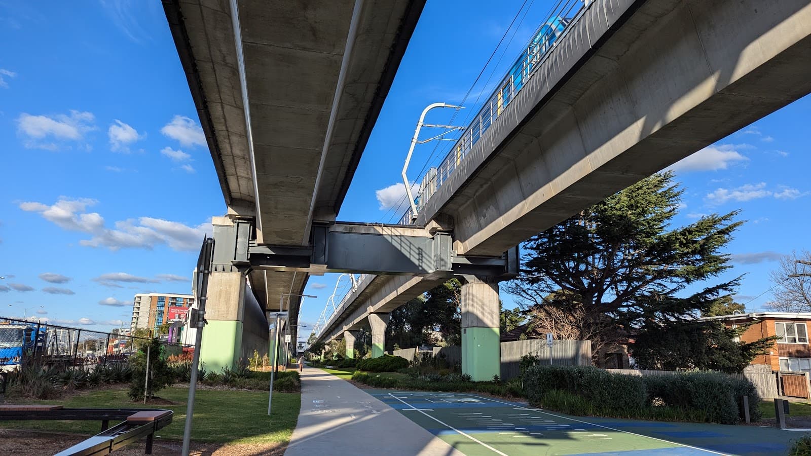
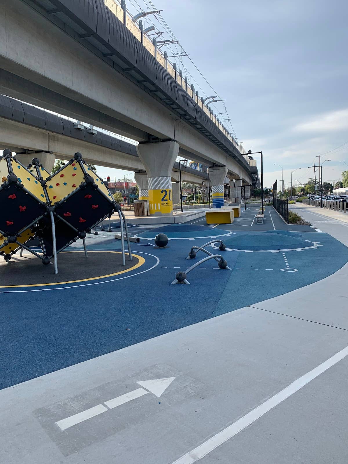
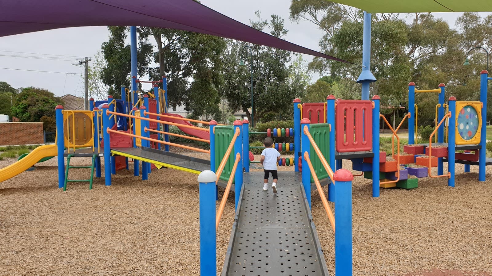
Caulfield to Noble Park Stretch
Southern end of the trail
Experience the newly developed sections of the Djerring Trail, offering a pleasant ride or walk through diverse urban landscapes.
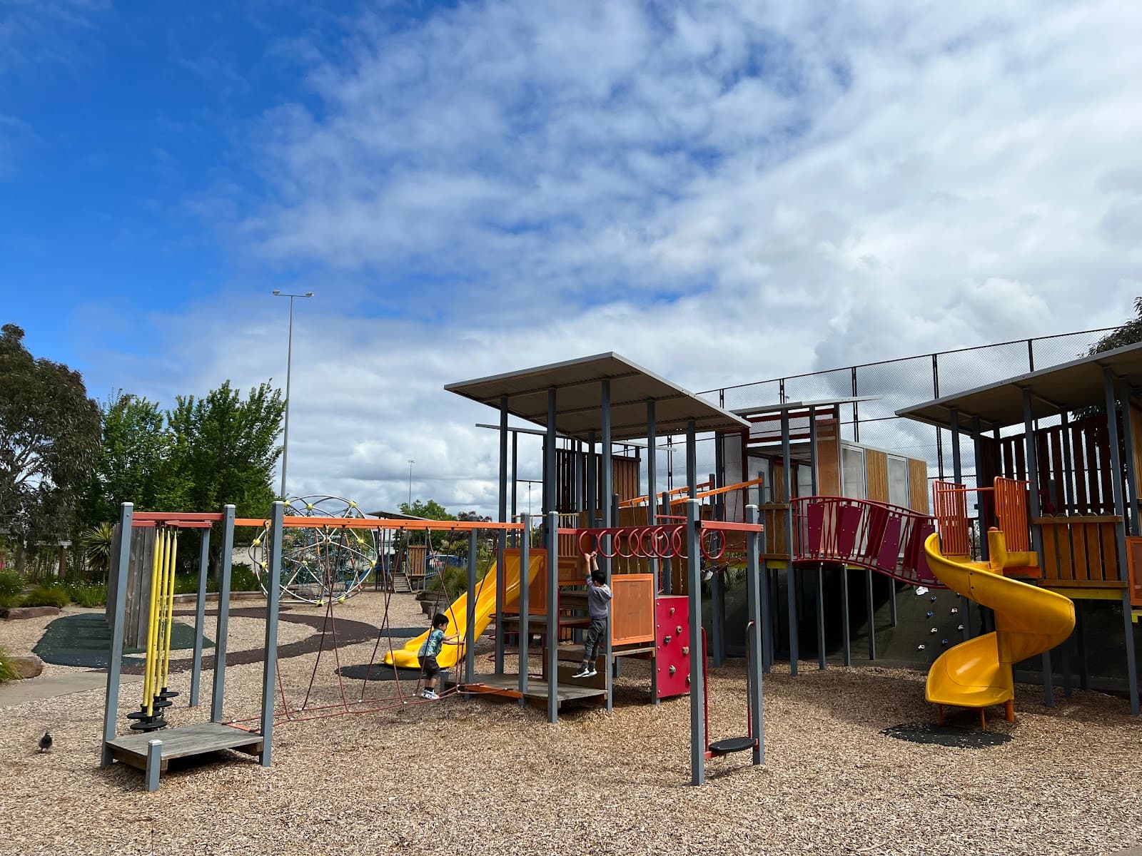
Urban Green Corridor
Various points along the trail
Discover pockets of green space and revitalized urban areas as you traverse this significant bike path.
Plans like a pro.
Thinks like you
Planning Your Visit
Trail Access & Connectivity
Trail Conditions & Etiquette
Best Times
Insider Tips
from TikTok, Instagram & Reddit
POV: Djerring Trail (Caulfield-Dandenong Rail Trail) | Dec 2018
Not my video, but it is pretty good at showing off the (mostly) new trail, also how to get on it from Caulfield station, hopefully the council makes a proper connection to it and signposts it too. It is a good asset for the area, I rode it out to Noble Park in November and have…
🎯 Plan Your Access Point
Research entry points, especially from Caulfield Station, as signage can be inconsistent. :world_map:
🚴 Share the Path
Be courteous to other trail users – cyclists, walkers, and runners. :peopleholdinghands:
💧 Stay Hydrated
Carry water, especially on longer rides or walks, as amenities can be spaced out. :droplet:
📱 Download Trail Map
A Djerring Trail map is helpful as connectivity can be patchy. :iphone:
Tips
from all over the internet
🎯 Plan Your Access Point
Research entry points, especially from Caulfield Station, as signage can be inconsistent. :world_map:
🚴 Share the Path
Be courteous to other trail users – cyclists, walkers, and runners. :peopleholdinghands:
💧 Stay Hydrated
Carry water, especially on longer rides or walks, as amenities can be spaced out. :droplet:
📱 Download Trail Map
A Djerring Trail map is helpful as connectivity can be patchy. :iphone:
What Travellers Say
Reviews Summary
The Djerring Trail is praised as a valuable urban recreational asset, offering a safe and pleasant route for cycling and walking. Users appreciate the newly developed sections and the opportunity to connect with green spaces. However, some find signage and direct access points could be improved for a more seamless experience.
What People Like
What People Dislike
Frequently Asked Questions
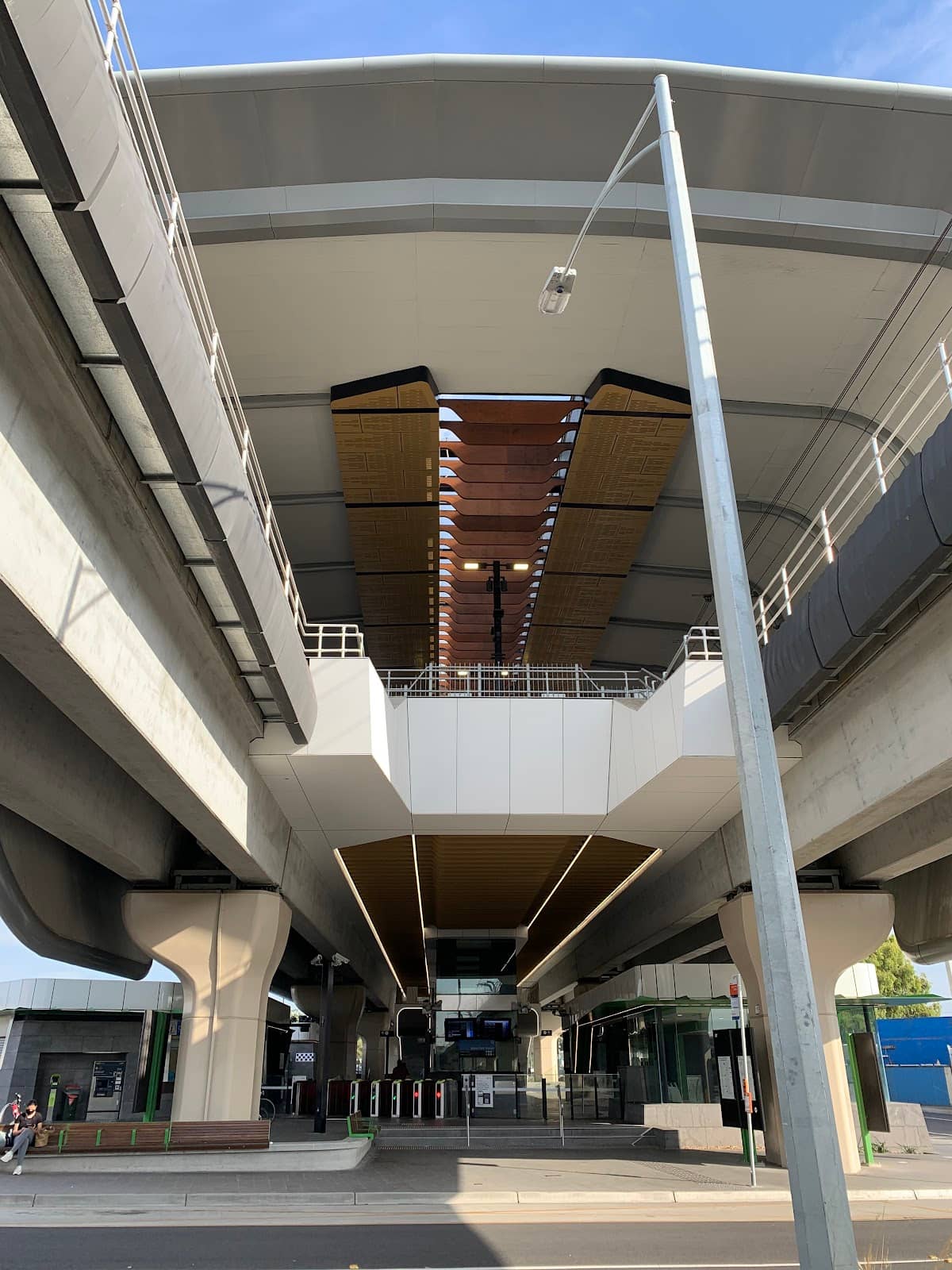
🚇 🗺️ Getting There
Accessing the Djerring Trail from Caulfield Station can be a bit tricky as direct signposting is still developing. It's recommended to research specific entry points beforehand. Some users suggest navigating towards the southern end of the station to find access.
Yes, the Djerring Trail is designed to be accessible via public transport. The Caulfield Station is a key access point, and the trail also passes through areas near other train stations like Noble Park.
Finding the Djerring bike trail often involves looking for its connection points from major hubs like Caulfield. Online maps and local knowledge are your best bet, as official signage is still being improved.
The Djerring Trail is a dedicated bike path, making it suitable for cycling. While some sections are newly developed, it's advisable to check for any temporary closures or maintenance notices before you set off.
Parking availability can vary along the Djerring Trail. It's best to check for local parking facilities near your intended starting point, especially if you're driving to access the trail.
🎫 🎫 Tickets & Entry
No, the Djerring Trail is a public pathway and does not require any tickets or admission fees for access. It's free for everyone to enjoy. 🎟️
The Djerring Trail is an open public space and is generally accessible at all hours. However, for safety and visibility, it's best to use it during daylight hours. :clock1:
There is no entrance fee for the Djerring Trail. It's a public recreational path designed for community use. :moneywithwings:
No booking is required for the Djerring Trail as it's an open public space. You can visit anytime, though popular times might be busier. 📅
Generally, there are no specific entry restrictions. However, standard rules for public paths apply, such as respecting other users and keeping the area clean. :noentrysign:
🎫 🚶 Onsite Experience
The Djerring Trail map typically shows the route connecting various suburbs, highlighting key access points and amenities. You can often find these online or through local council resources. 🗺️
Absolutely! The Djerring Trail is a fantastic option for walking, offering a safe and scenic route away from road traffic. 🚶
The terrain on the Djerring Trail is generally paved or well-compacted, making it suitable for cycling and walking. Some sections might be newer than others. :runner:
Facilities can be limited and spaced out along the Djerring Trail. It's advisable to check a detailed map or plan your stops accordingly. 🚽
The Djerring Trail is generally considered safe, especially during daylight hours. It's a popular route with other users, which adds to the sense of security. 🛡️
📸 📸 Photography
Look for sections where the trail winds through urban greenery or offers interesting perspectives of the surrounding landscape. The newer sections often provide cleaner backdrops for photos. :camerawithflash:
Yes, the Djerring Trail's dedicated bike path makes it ideal for capturing dynamic shots of cyclists in action. The varied scenery adds interest to your photos. :camerawithflash:
Late afternoon often provides beautiful golden hour light, enhancing the colors of the trail and surrounding environment. Early mornings can also offer soft, diffused light. :sunriseovermountains:
Drone usage is subject to local regulations. Always check CASA guidelines and any specific restrictions in the areas you plan to fly over before launching your drone. :drone:
Keep an eye out for public art installations or unique urban features that might pop up along the trail, offering unexpected photographic subjects. 🎨


Social
from TikTok, Instagram & Reddit