
Pico do Corcovado Trail
Conquer the challenging Pico do Corcovado trail for breathtaking Atlantic Forest immersion and stunning Ubatuba coastal views.
Highlights
Must-see attractions

Social
From TikTok & Reddit
Best Time
Best chance for clear views
Pico do Corcovado Trail
Best Time
Best chance for clear views
Highlights
Must-see attractions
Conquer the challenging Pico do Corcovado trail for breathtaking Atlantic Forest immersion and stunning Ubatuba coastal views.
"A demanding but unforgettable trek through lush rainforest to spectacular summit vistas."
💪 Pack for a Marathon
This is a tough hike! Bring plenty of water, snacks, and wear sturdy hiking boots.
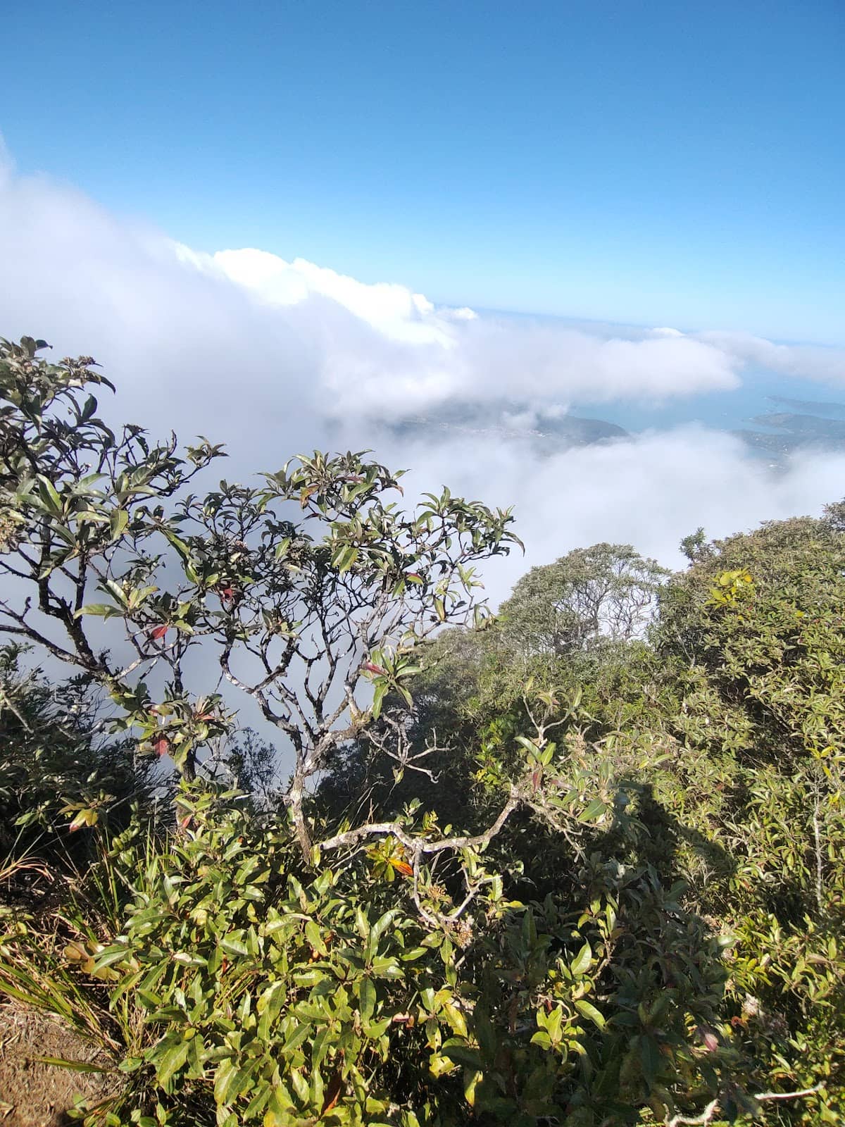
☁️ Weather Watch
Visibility can be poor. Be prepared for rain and fog, which can make the trail slippery.
Quick Facts
Rating
5 · 6 reviews
Type
Hiking Area
Highlights
Discover the most iconic attractions and experiences
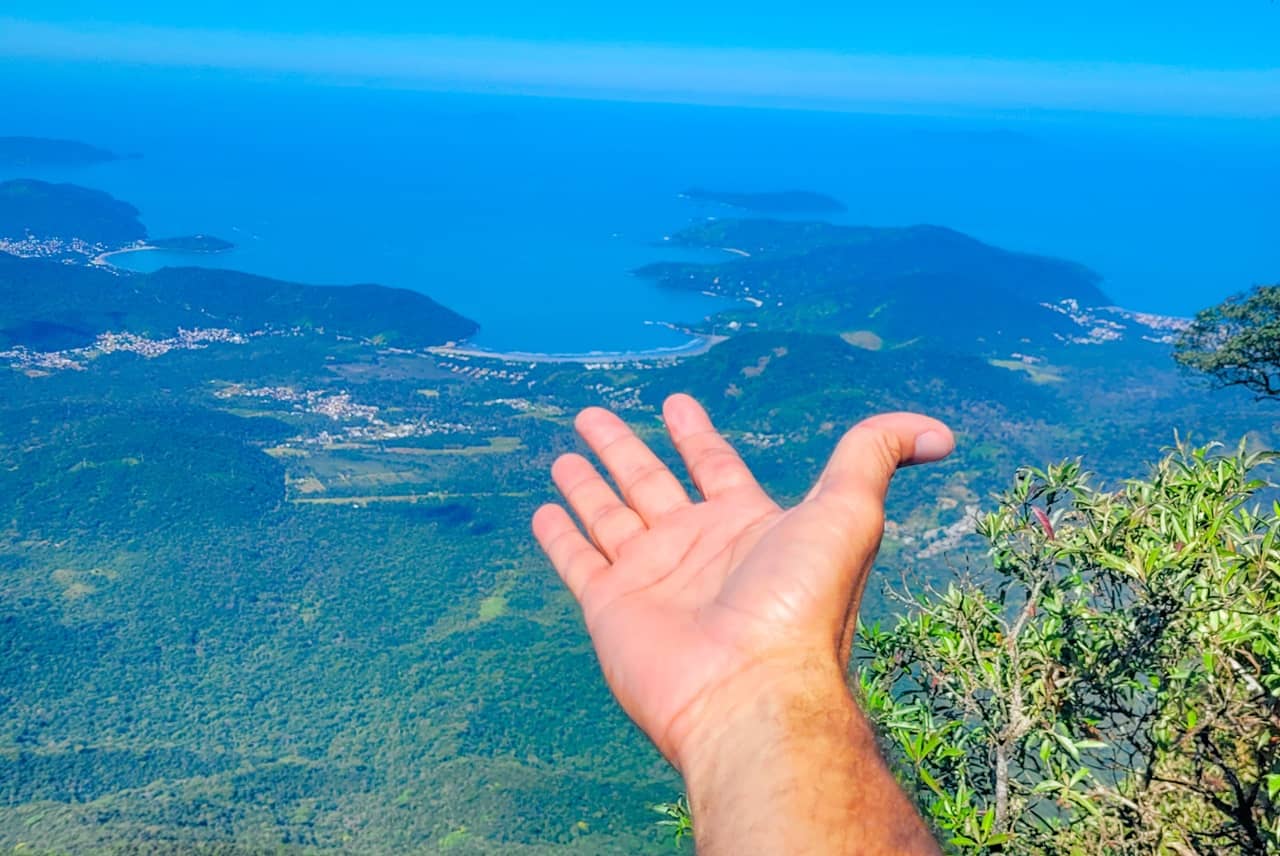
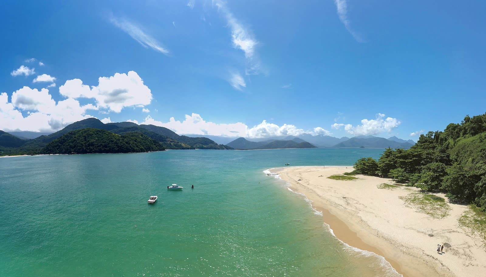
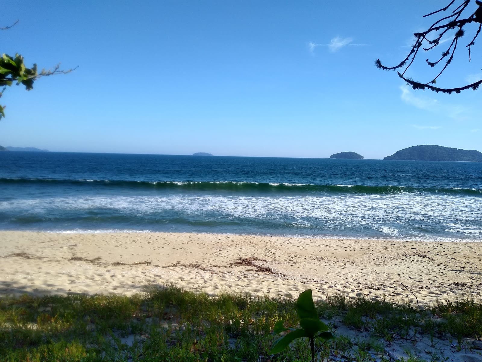
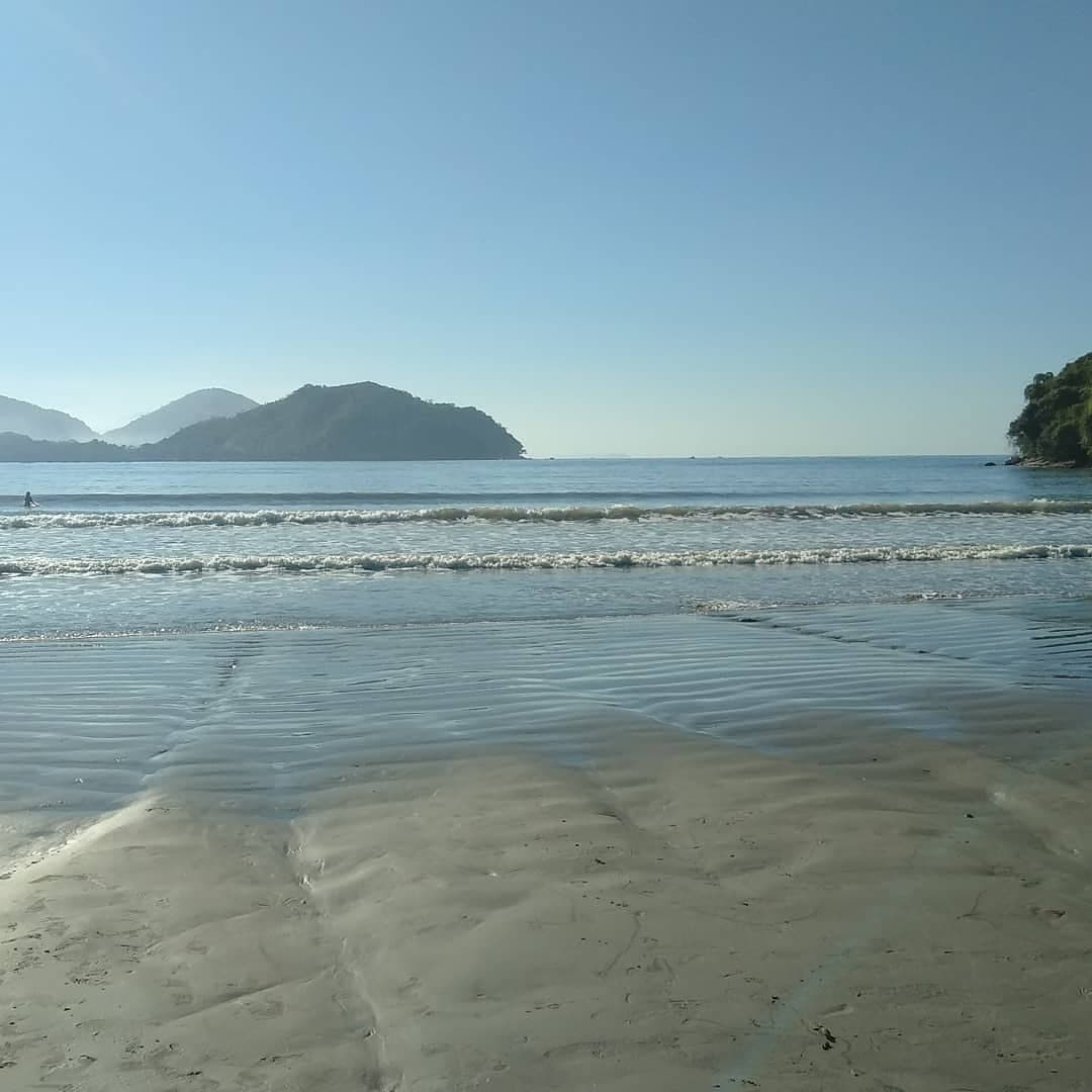
Summit Views
Pico do Corcovado Summit
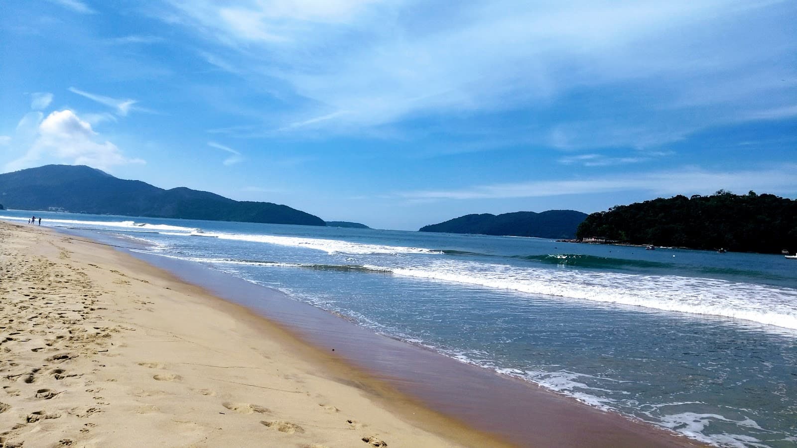
Panoramic vistas of Ubatuba's coastline and the Atlantic Forest await on clear days. A truly breathtaking reward.
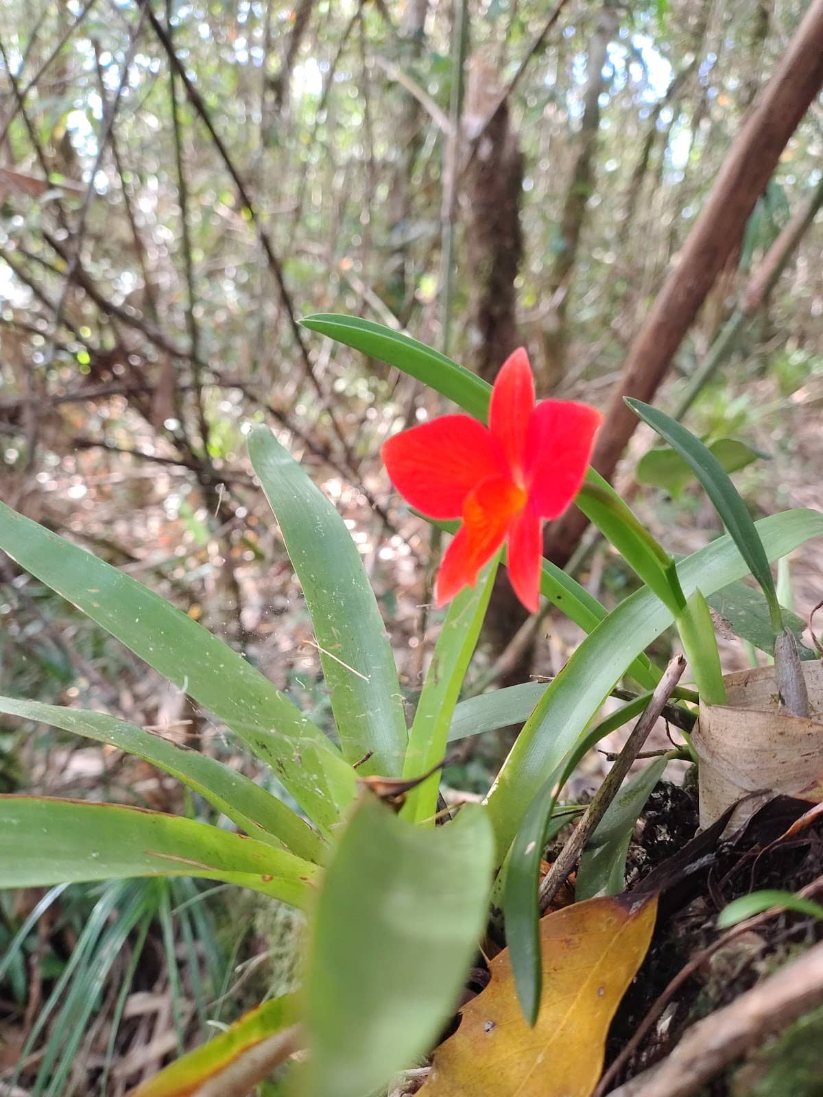
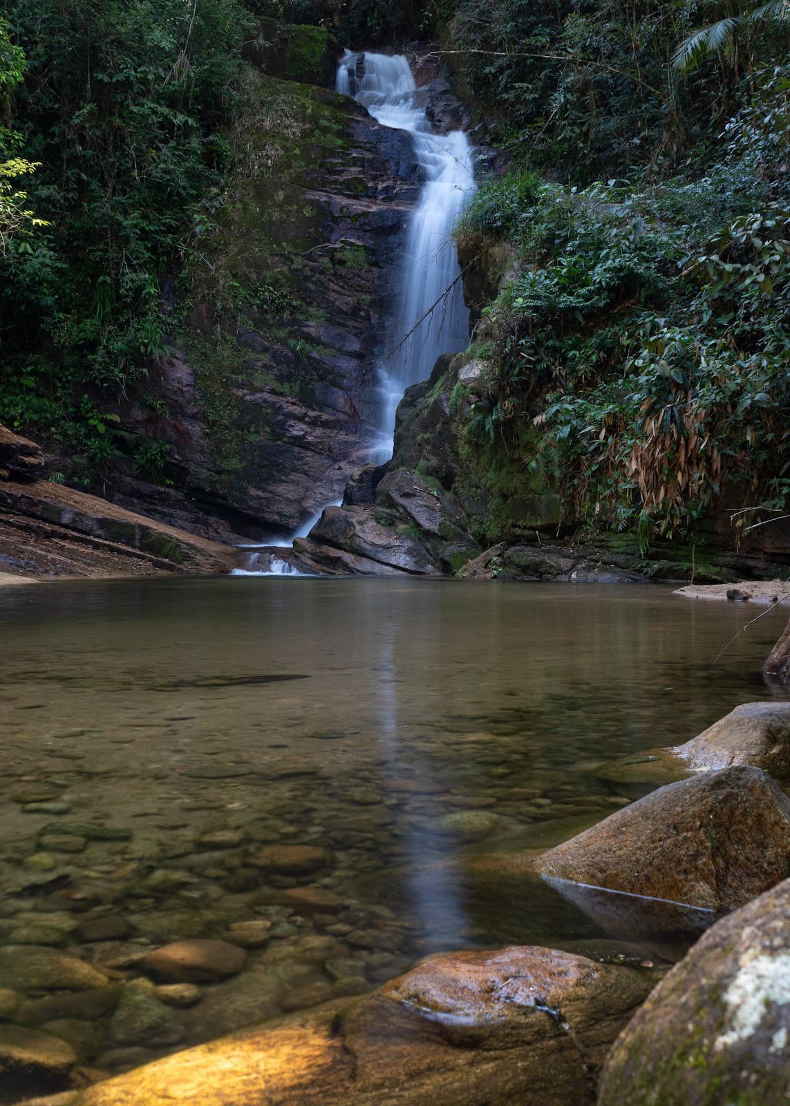
Mata Atlântica Immersion
Trail through Atlantic Forest
Trek through lush, ancient forests filled with diverse flora and fauna. Experience the vibrant sounds of nature.
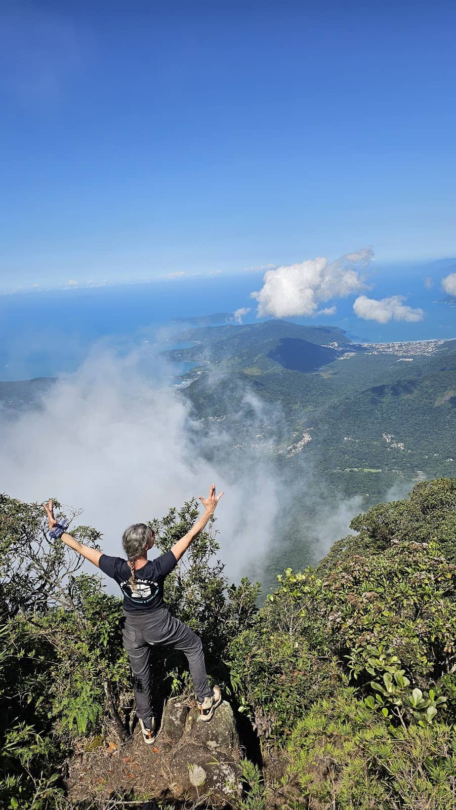
Challenging Ascent
Various points on the trail
The steep, demanding climb tests your endurance, offering a sense of accomplishment upon reaching the peak.
Plans like a pro.
Thinks like you
Planning Your Visit
Prepare for a Challenging Ascent
Weather and Visibility
Best Times
Insider Tips
from TikTok, Instagram & Reddit
💪 Pack for a Marathon
This is a tough hike! Bring plenty of water, snacks, and wear sturdy hiking boots.
☁️ Weather Watch
Visibility can be poor. Be prepared for rain and fog, which can make the trail slippery.
🧭 Guided is Safer
Consider hiring a local guide, especially for the longer routes or if camping.
📸 Drone Views
If you have a drone, the aerial shots of the peak and surrounding forest are incredible. +1
Tips
from all over the internet
💪 Pack for a Marathon
This is a tough hike! Bring plenty of water, snacks, and wear sturdy hiking boots.
☁️ Weather Watch
Visibility can be poor. Be prepared for rain and fog, which can make the trail slippery.
🧭 Guided is Safer
Consider hiring a local guide, especially for the longer routes or if camping.
📸 Drone Views
If you have a drone, the aerial shots of the peak and surrounding forest are incredible. +1
💧 Potable Water Source
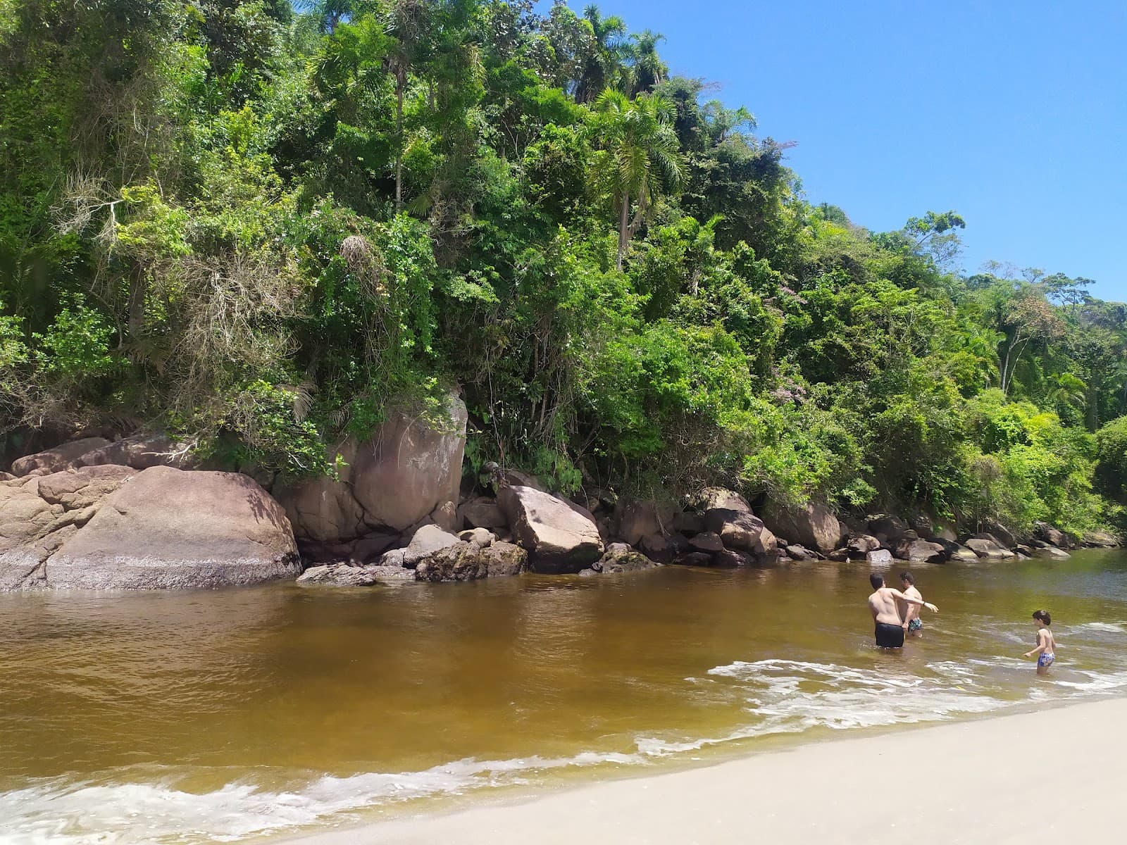
There's a small stream with potable water near the summit, but always carry your own too.
What Travellers Say
Reviews Summary
The Pico do Corcovado trail is a highly rewarding but extremely challenging hike, praised for its immersive Mata Atlântica experience and breathtaking summit views on clear days. While many find the ascent demanding, the sense of accomplishment and natural beauty make it unforgettable. Some visitors note that unpredictable weather can obscure the views, and the trail's difficulty requires significant physical preparation.
"Estive fazendo essa trilha a dois anos. Oficialmente existe dois acessos ao Corcovado. Um pelo núcleo de Santa Virgínia que faz bate e volta e a trilha é puxada, porém viável. Já a trilha que sai do pé do morro e se faz por uma tribo indígena é muito pesada devido as subidas pela trilha, recomendo ja possuir condições físicas pra essa aventura. Pois por essa via acampa do topo e retorna no outro dia de manhã. Todas as trilhas são previamente acertadas com os responsáveis pela condução e segurança das trilhas. Vale muito!!! Digo que foi mais do que uma simples aventura, é um estágio que acrescenta pra vida! Bora viver que a vida é agora!"
Christiano Fonseca Costa
"Não é uma trilha fácil nem contemplativa, não é certo que o pico estará descoberto...mas se estiver, é a experiência de uma vida."
candida azevedo
"Trilha bem sinalizada, a subida é um pouco desafiadora se você não estiver bem preparado, mas vale cada passo, trilha dentro da mata, chega no alto do Morro ."
William Braga
What People Like
What People Dislike
Frequently Asked Questions
🚇 🗺️ Getting There
There are multiple access points. One popular route starts near Seu Tozaki's residence with a small parking area. Another, more challenging access, is via an indigenous tribe's path. Guided tours often arrange transport. +1
Limited parking is available near some trailheads, such as the one near Seu Tozaki's residence. It's advisable to arrive early or consider alternative transport.
Yes, officially there are two main access points: one from the Santa Virgínia nucleus for a day trip, and another from the base of the hill via an indigenous tribe, which is more strenuous and often done as an overnight trip.
While a car can be convenient for reaching some trailheads, it's not strictly necessary if you opt for guided tours or local transport options.
The trail is located near Ubatuba, São Paulo, Brazil. Ubatuba is a popular coastal city with various accommodation and dining options. +1
🎫 🎫 Tickets & Entry
Access to the trails may require arrangements with local guides or park authorities, especially for certain routes or overnight stays. It's best to confirm entry requirements beforehand.
While not always explicitly stated as an 'entrance fee,' some access points might involve fees related to guided services or park maintenance. Confirm with your guide or local authorities.
As a natural trail, there are no strict operating hours. However, it's recommended to start early in the day, especially for longer hikes, and be aware of daylight hours.
While some parts might be accessible independently, hiring a guide is highly recommended for safety, navigation, and to understand the trail's complexities and any specific access protocols.
Yes, camping at the summit is an option for those undertaking the longer, multi-day treks. This requires proper planning and coordination with guides.
🎫 🥾 Onsite Experience
The trail is considered difficult, with steep ascents and challenging terrain. It can take 6-7 hours one way, requiring good physical fitness.
Sturdy hiking boots are essential. Wear comfortable, moisture-wicking clothing, and be prepared for changing weather conditions, including rain.
Pico do Corcovado stands at approximately 1,165 to 1,181 meters (around 3,822 to 3,875 feet) above sea level.
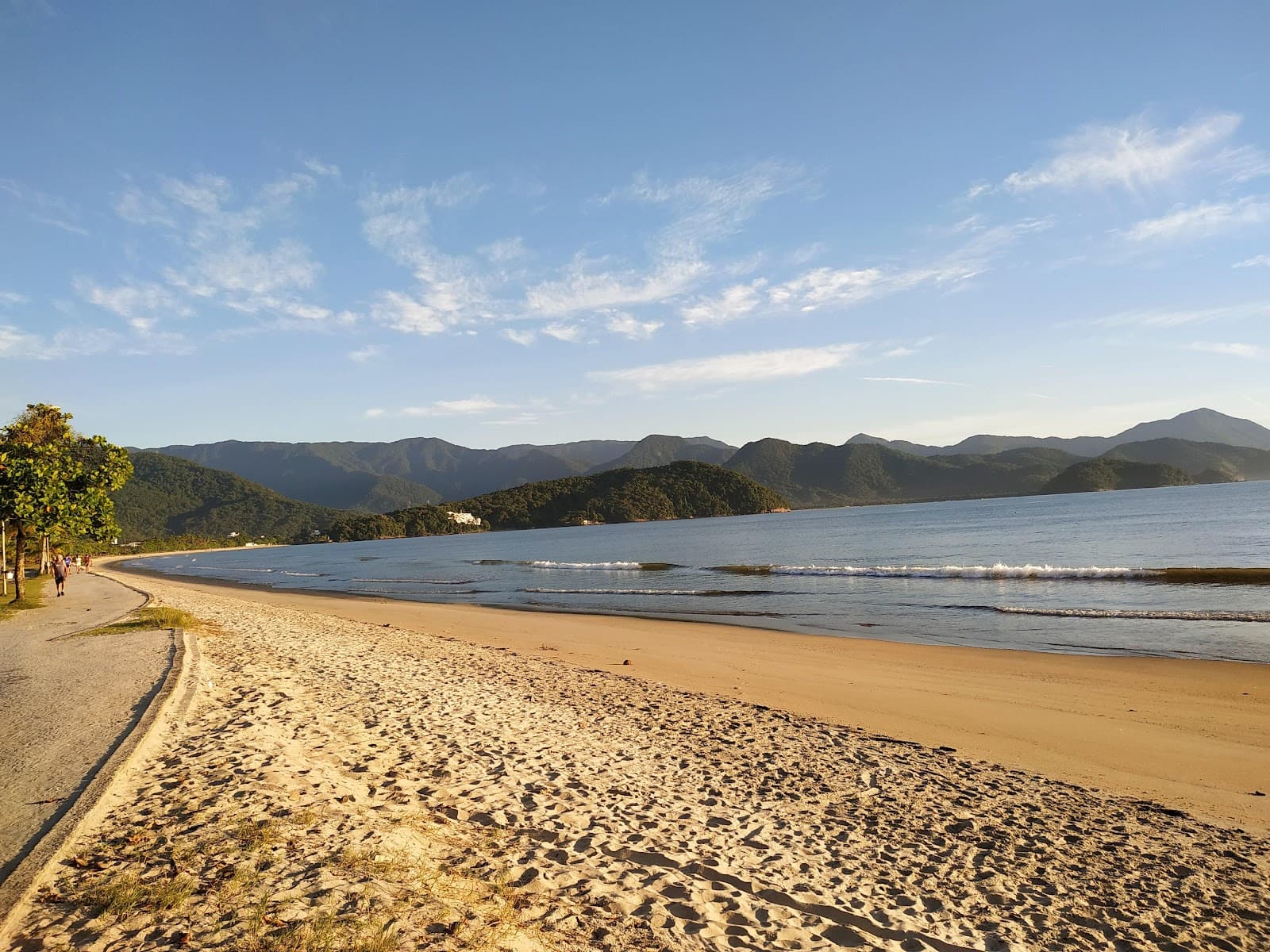
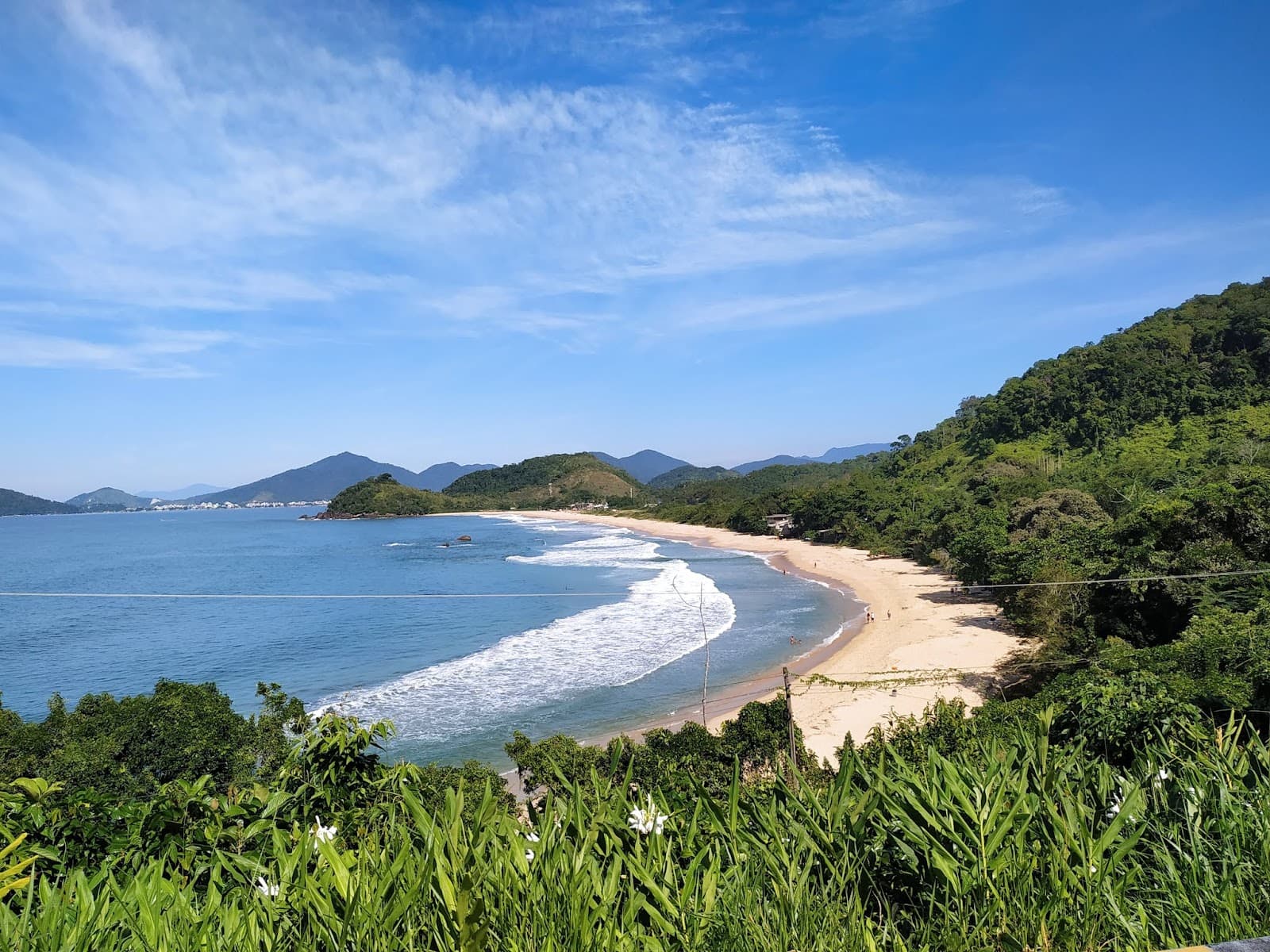
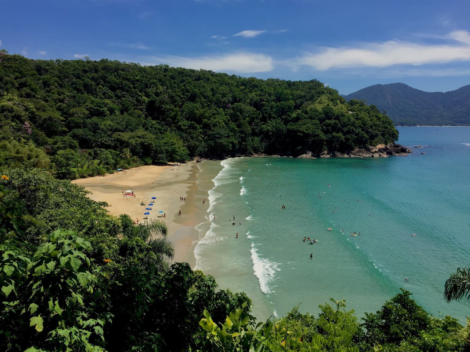
You'll trek through the Mata Atlântica (Atlantic Forest), a biodiverse biome with ancient trees, bromeliads, orchids, and potential sightings of primates and birds.
The trail is generally well-marked, but given the challenging terrain and potential for fog, having a guide or reliable navigation tools is advisable.
📸 📸 Photography
The summit offers stunning panoramic views of Ubatuba's coastline and the surrounding Atlantic Forest on clear days. Drone photography is also popular for unique aerial shots. +2
Yes, drone photography is popular here, offering incredible perspectives of the peak and landscape. Ensure you have the necessary permissions and follow park regulations. +1
Mornings, especially during the dry season, offer the best chance for clear skies and good lighting. However, be prepared for any weather.
The summit itself provides the most expansive views. Along the trail, look for clearings and unique flora for interesting shots.
A wide-angle lens is great for capturing the expansive views. A sturdy tripod can be useful for low-light conditions or long exposures. Consider a waterproof bag for your gear.


Social
from TikTok, Instagram & Reddit