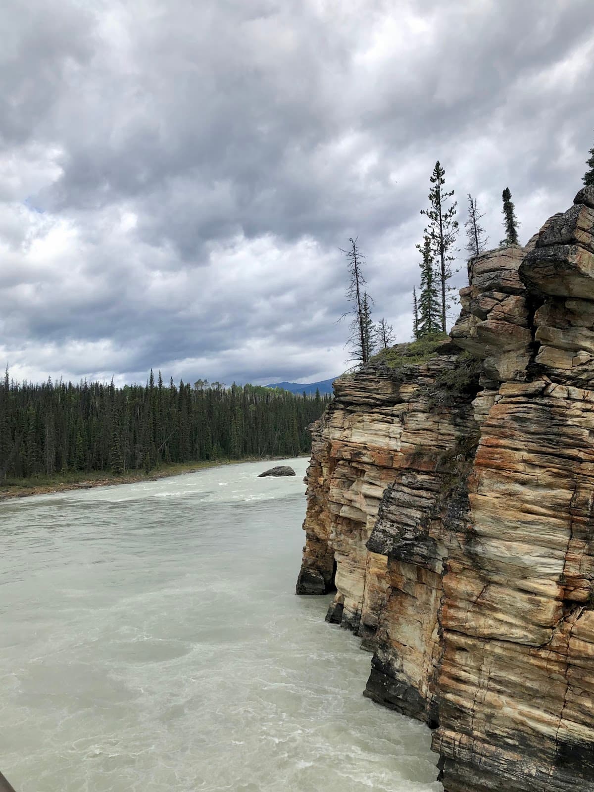
Geraldine Lakes Trail
A challenging Jasper National Park hike rewarding with stunning alpine lakes and rugged mountain vistas, best for experienced hikers.
Highlights
Must-see attractions

Social
From TikTok & Reddit
Best Time
Road access is seasonal
Geraldine Lakes Trail
Best Time
Road access is seasonal
Highlights
Must-see attractions
A challenging Jasper National Park hike rewarding with stunning alpine lakes and rugged mountain vistas, best for experienced hikers.
"The final ascent is a scramble route straight up a steep loose rock slope."
🚗 High-Clearance Vehicle Needed
The Geraldine Lakes Road is very rocky. A small car might not make it, adding 6km each way to your hike.
🐾 Dogs Past First Lake? No!
The trail beyond the first lake is too difficult and rocky for dogs. Leave your furry friends at home for this one.
Quick Facts
Hours
Rating
4.6 · 17 reviews
Type
Hiking Area
Highlights
Discover the most iconic attractions and experiences
First Lake Serenity
Start of the trail
A relatively easy and well-maintained path leads to the first lake, offering a peaceful introduction to the area.
Waterfall Views
Ascent past the first lake
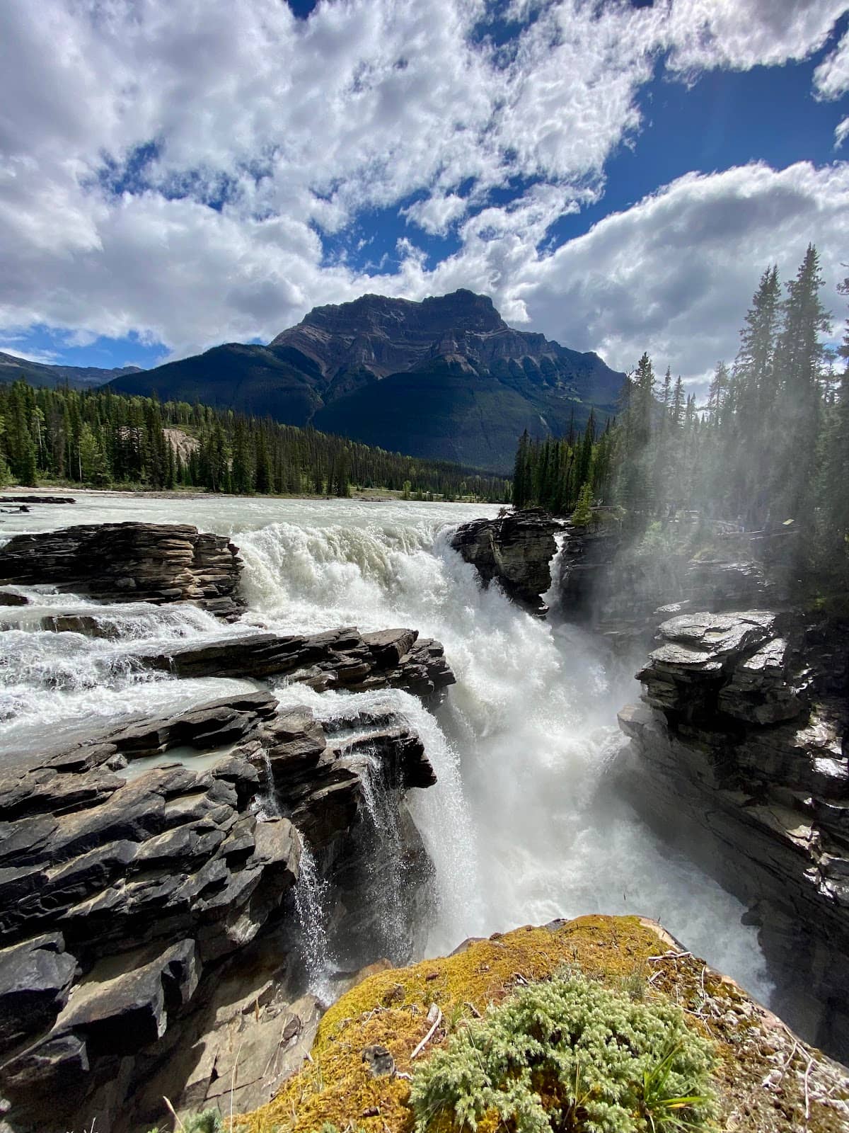
Challenging climbs reward you with stunning views of waterfalls cascading down rocky slopes.
Alpine Lake Grandeur
Upper lakes
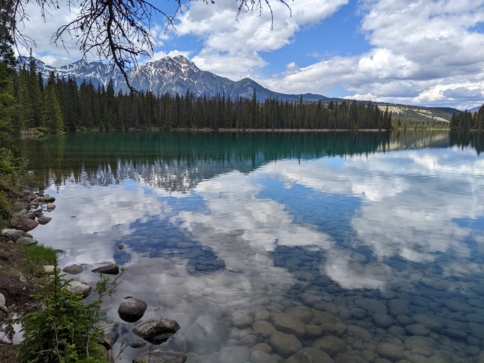
The upper lakes offer breathtaking alpine scenery, a true reward for the strenuous hike.
Plans like a pro.
Thinks like you
Planning Your Visit
Road Access & Vehicle Choice
Trail Difficulty & Route Finding
Best Times
Insider Tips
from TikTok, Instagram & Reddit
🚗 High-Clearance Vehicle Needed
The Geraldine Lakes Road is very rocky. A small car might not make it, adding 6km each way to your hike.
🐾 Dogs Past First Lake? No!
The trail beyond the first lake is too difficult and rocky for dogs. Leave your furry friends at home for this one.
🧭 Route Finding Skills
Be prepared for challenging route finding, especially between the first and second lakes. Cairns can be helpful but not always obvious.
💧 Mud & Roots Early On
Expect muddy and root-filled sections for the first 2 km to the first lake. Wear appropriate footwear.
Tips
from all over the internet
🚗 High-Clearance Vehicle Needed
The Geraldine Lakes Road is very rocky. A small car might not make it, adding 6km each way to your hike.
🐾 Dogs Past First Lake? No!
The trail beyond the first lake is too difficult and rocky for dogs. Leave your furry friends at home for this one.
🧭 Route Finding Skills
Be prepared for challenging route finding, especially between the first and second lakes. Cairns can be helpful but not always obvious.
💧 Mud & Roots Early On
Expect muddy and root-filled sections for the first 2 km to the first lake. Wear appropriate footwear.
⛰️ Scramble to Upper Lakes
The final ascent to the upper lakes involves a steep, loose rock scramble. It's a serious climb!
What Travellers Say
Reviews Summary
Geraldine Lakes Trail offers a challenging but rewarding backcountry experience with stunning alpine scenery. While the initial section is manageable, the trail quickly becomes strenuous with difficult route finding and a steep rock scramble to the upper lakes. The rough access road is a significant consideration, often requiring a high-clearance vehicle.
"We hiked to the second (third?) lake and back. 7 hours total time with 600+ metres of elevation gain (and descent of course on the way back down).
The trial starts off innocently enough - maintained trail, gentle slope, easy route finding but lots of mud and roots. Stays like this for about 2 km to the first lake. Then the trail skirts the lake over some rocky and less well maintained trail for about another km until it veers left at the end of the first lake.
The easy part is now over. The trail now climbs straight up past the first waterfall. You can navigate through the rock fields on the right to avoid the scramble through the bush but there are no trail markers. Once you are past the first waterfall and until you reach the second much smaller lake near the main waterfall there is lots more elevation gain through never-ending fields of rock that can be difficult to find your way through. There are cairns to help guide you at times, but they are not always obvious. Once you get up level with the base of the main waterfall the trail turns into a scramble route straight up a steep loose rock slope for about 200 meters in elevation gain over about 300 metres distance. After you make your way to the top of this section, the trail cuts right across the top of the rock slope and heads up towards the high point. From here the third lake comes into view quickly on your right and lower down. Another km over more shattered rock will take you to to the camp site at the other end of the lake.
As others have said before - please for the sake of your dog don’t bring them past the first lake. It would be extremely difficult for any breed."
yo bussey
"It was great!
Every time I try to explain how great my experience there was, I end up writing a 10 pages long journal. so,,, I will keep it short. If you like thrills, go there at night without planning your hike and with only a picture of really rough topography map of the trail in your phone with 15% charge. oh, make sure to bring an optimistic hiker who had never done back country hiking and don't even know about cairns. Then, you will have full of "surprises" when you hike back in daylight :) Again, I really enjoyed hiking here."
A Sh
"An amazing trail for people with moderate route finding skills and hiking ability. I would rate the difficulty as medium depending on time of year. Drive up the forest road a few km until you reach the trail head and start from there. You may need a high clearance vehicle to get to it. See if you can make it to the first campground for lunch past the 3rd lake!"
Ken King
What People Like
What People Dislike
Frequently Asked Questions
🚇 🗺️ Getting There
The trailhead is at the end of Geraldine Lakes Road, which is a seasonal access road open from mid-June to late September. The road itself is very rocky and rough, often requiring a high-clearance vehicle. A small car may not be able to make it, adding significant distance to your hike.
No, Geraldine Lakes Road is a seasonal road and is typically only open from mid-June to late September. Always check current conditions before planning your trip.

A high-clearance vehicle is strongly recommended due to the very rocky and rough nature of the road. Small cars may struggle to pass.
The drive to the trailhead is on Geraldine Lakes Road. If you have a suitable vehicle, it's a direct drive. However, if your vehicle cannot handle the road, you may have to park further away and hike an additional 6 km each way.
While the primary access is via Geraldine Lakes Road, the area is also connected to the Fryatt Valley trail system, though this is a more extensive backcountry route.
🎫 🎫 Tickets & Entry
Yes, as Geraldine Lakes Trail is located within Jasper National Park, a valid Parks Canada Discovery Pass is required for entry.
Beyond the standard Parks Canada entrance fees or Discovery Pass, there are no additional fees specifically for hiking the Geraldine Lakes Trail itself.
The trail is open year-round, but access via Geraldine Lakes Road is seasonal (mid-June to late September). The park itself has no set operating hours for hiking trails.
Yes, backcountry camping permits are required for overnight stays at the campsites near Geraldine Lakes. These can be booked through Parks Canada.
The nearest major visitor center is in Jasper townsite. There are no facilities directly at the Geraldine Lakes trailhead.
🎫 🧭 Onsite Experience
A round trip to the second or third lake can take approximately 7 hours, depending on your pace and how much time you spend at the lakes.
The trail involves significant elevation gain, with over 600 meters of ascent to the upper lakes. The final section is a steep scramble.
The trail is well-maintained to the first lake, but beyond that, route finding can be challenging. Cairns are present but not always obvious, and there are no trail markers in some sections.
Sturdy hiking boots are essential due to the rocky and uneven terrain. Layers of clothing are recommended as mountain weather can change quickly.
Yes, this is bear country. It's crucial to be bear-aware, carry bear spray, and know how to use it. Making noise on the trail can help alert wildlife to your presence.
📸 📸 Photography
The alpine lakes themselves offer stunning reflections and vibrant colors, especially the upper lakes. The waterfalls and rugged mountain scenery also provide excellent photographic subjects.
Early morning or late afternoon light can provide beautiful golden hour illumination for the lakes and surrounding peaks. Midday sun can be harsh.
A wide-angle lens is great for capturing the expansive mountain landscapes. A sturdy tripod can be useful for capturing waterfalls or low-light conditions.
The shores of the upper lakes offer panoramic views. The scramble section also provides unique perspectives of the valley below.
Drone usage is restricted in national parks. Always check Parks Canada regulations regarding drone operation before flying.



Social
from TikTok, Instagram & Reddit