Ma On Shan Peak
Hike to Ma On Shan Peak for breathtaking panoramic views of Sai Kung's coastline and islands. A rewarding trek for nature lovers.
Highlights
Must-see attractions

Social
From TikTok & Reddit
Best Time
Fewer crowds, cooler temps
Ma On Shan Peak
Best Time
Fewer crowds, cooler temps
Highlights
Must-see attractions
Hike to Ma On Shan Peak for breathtaking panoramic views of Sai Kung's coastline and islands. A rewarding trek for nature lovers.
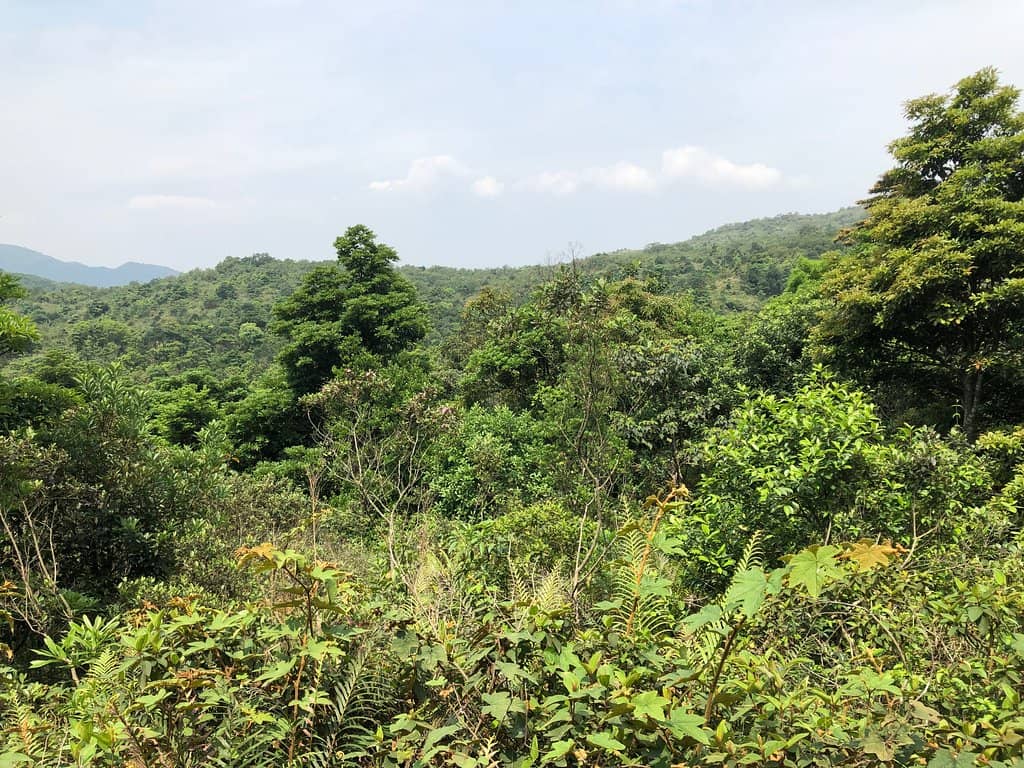
"The views from Ma On Shan Peak are truly spectacular, offering a sweeping panorama of the Sai Kung peninsula."
Taxi is often quickest 🚕
Skip long bus waits by taking a taxi directly to the trailhead from Ma On Shan MTR.
Wear sturdy hiking shoes :athletic_shoe:
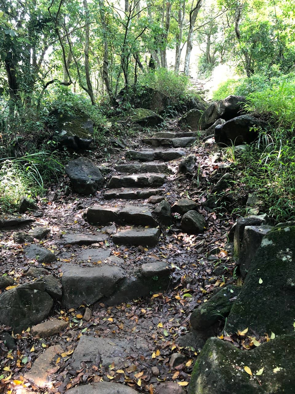
The trails have varied terrain, including stone steps and potentially slippery sections.
Quick Facts
Hours
Rating
4.3 · 133 reviews
Type
Hiking Area
Highlights
Discover the most iconic attractions and experiences
Pyramid Hill Views
Ma On Shan Country Park
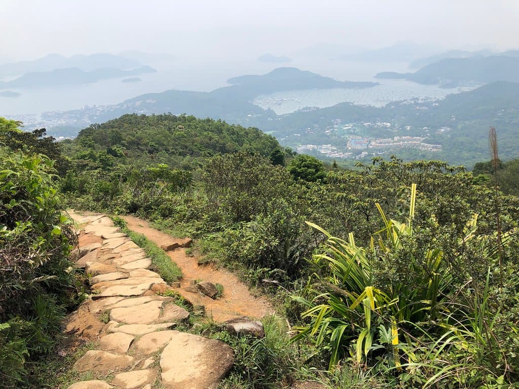
Panoramic vistas of Sai Kung village, the coast, and islands. Stunning on clear days!
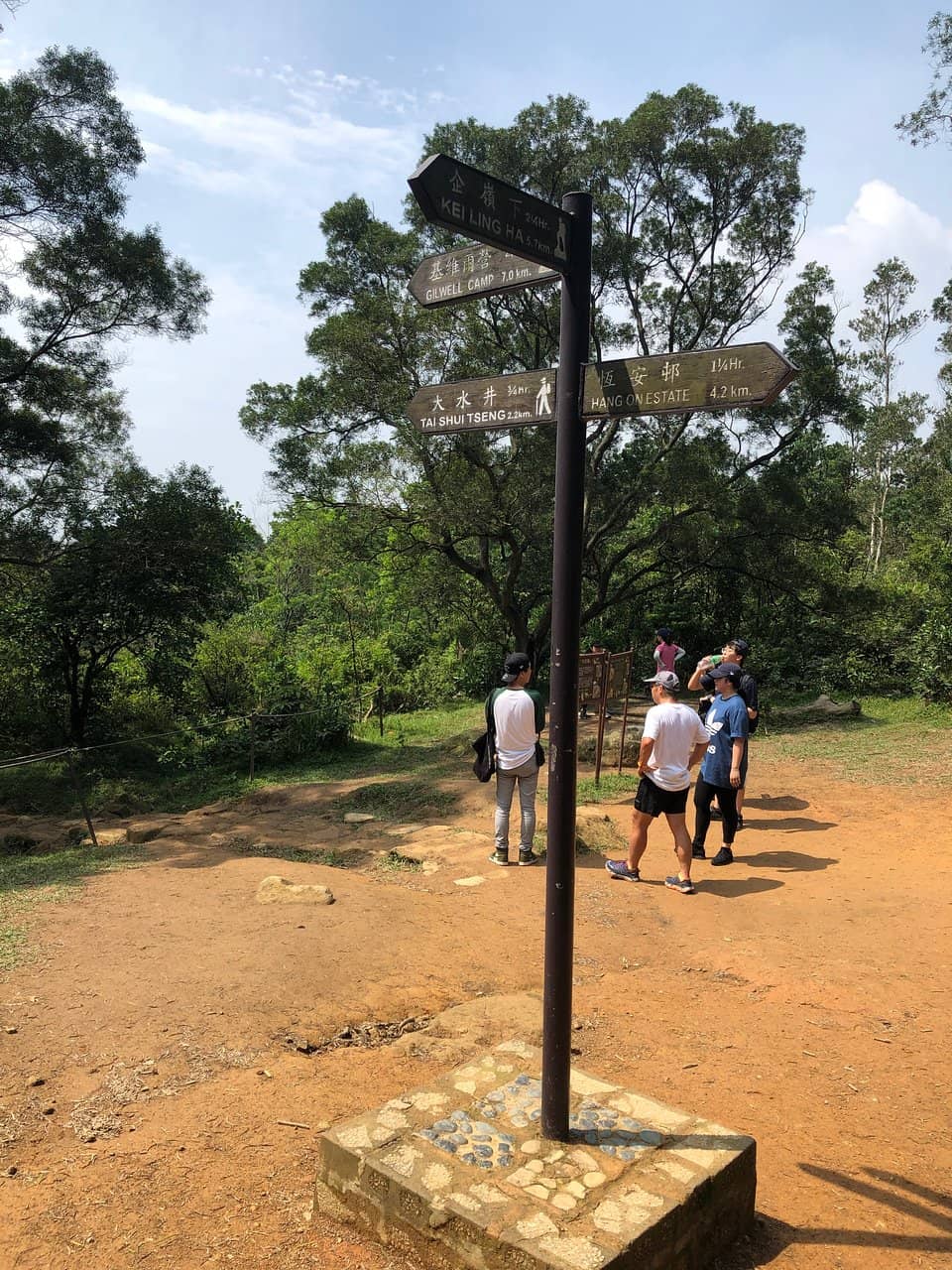
Ngong Ping Viewing Point
Ma On Shan Country Park
The prime spot for breathtaking views of the entire Sai Kung peninsula. Look for paragliders!
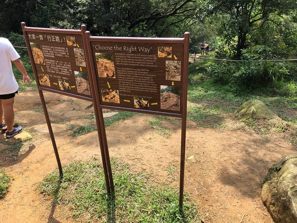
Ma On Shan Country Trail
Ma On Shan to Sai Kung
A scenic point-to-point hike through diverse landscapes, ending in the charming Sai Kung village.
Plans like a pro.
Thinks like you
Planning Your Visit
Getting to the Trailhead
Trail Conditions & What to Expect
Best Times
Insider Tips
from TikTok, Instagram & Reddit
Taxi is often quickest 🚕
Skip long bus waits by taking a taxi directly to the trailhead from Ma On Shan MTR.
Wear sturdy hiking shoes :athletic_shoe:
The trails have varied terrain, including stone steps and potentially slippery sections.
Bring water & snacks :water_buffalo:
Stay hydrated and fueled, especially on longer treks. Pack out all your trash!
Check weather before you go ☁️
Visibility can impact views, and rain can make trails slippery.
Tips
from all over the internet
Taxi is often quickest 🚕
Skip long bus waits by taking a taxi directly to the trailhead from Ma On Shan MTR.
Wear sturdy hiking shoes :athletic_shoe:
The trails have varied terrain, including stone steps and potentially slippery sections.
Bring water & snacks :water_buffalo:
Stay hydrated and fueled, especially on longer treks. Pack out all your trash!
Check weather before you go ☁️
Visibility can impact views, and rain can make trails slippery.
End in Sai Kung for food 🍴
The trail ends near Sai Kung village, perfect for a post-hike meal.
What Travellers Say
Reviews Summary
Ma On Shan Peak is celebrated for its stunning panoramic views of Sai Kung and the surrounding islands, making it a popular hiking destination. While the trails are generally well-maintained, some visitors note issues with cleanliness in facilities and the presence of cow dung on paths. The accessibility via public transport can be a point of frustration for some, with taxis often being the preferred, albeit more expensive, option.
"The Ma On Shan Country Park includes a good network of trails of various distance and difficulty. One that is particularly interesting is the Ma On Shan Country Trail which weaves through the mountain range, linking Ma On Shan directly to the seaside village of Sai Kung.
This is a point-to-point trail, easier to start in Ma On Shan and finish in Sai Kung. The trail officially starts around 2.5 km away from the nearest MTR Stations (Ma On Shan and Heng On) to the Ma On Shan Country Park where the rural trail begins. From here, the official trail is 3.9 km in length with a moderate difficulty.
Most hikers take a taxi from the MTR stations or Ma On Shan town centre up to the Country Park before starting their hike. Otherwise, you can walk up the single lane road with few vehicles. Not much to see but its a fair bit of exercise going up the slow and steady inclined road if you want a longer overall hike.
The trail is nicely kept, lots of slow upward stone staircases that wind through the countryside, along streams and eventually reaching a grassland plateau, from which you will see excellent landscape and panoramic views of the Sai Kung village, coast and outlying islands. When sky conditions are favourable, this is a beautiful spot. Even with poor visibility, looking down to the village and sea is still really nice. From here, there are also nice views of the saddle shaped peak which you can also climb from this location if interested.
The walk from here towards Sai Kung is steeper so be ready to rest from time to time if you take the trail in reverse, starting in Sai Kung and ending in Ma On Shan. You eventually arrive at the upper village of Tai Shui Tseng, before winding your way down the streets towards Sai Kung village.
From Sai Kung you can grab lunch or drink at many of the restaurants scattered around the city. Sai Kung is well serviced by taxis and buses as well. So you can make your way back after the hike."
Brad
"Excellent view of Said Kung and Hebe Heaven, it is very easy to access from Tai Shui Hang MTR Station.
Get yourself the best view of this country park at Ngong Ping Viewing Point, there will be parasails if the weather is fine and windy enough."
T. C. Ho
"Popular spot for hikers. Many alternative route ti choose. The lovely scene appeared upon the topmost point where you can have the entire Sai Kung peninsula underneath with High Land Resouvir at distance, you just enjoyed the stunning views and stayed for a whole good day."
Edli Leung
What People Like
What People Dislike
Frequently Asked Questions
🚇 🗺️ Getting There
The most common way is to take the MTR to Ma On Shan Station (Exit B) and then a taxi directly to the Ma On Shan Country Park trailhead. Buses are available but can involve long waits. +1
Yes, you can walk up the single-lane road. It's a steady uphill climb and adds significant time and exercise to your hike.
While buses exist, many travelers find them infrequent. Taxis are generally recommended for convenience and time-saving.
Starting in Ma On Shan and hiking towards Sai Kung is generally considered easier due to the trail's incline.
The hike to the peak can take around 40 minutes to an hour, depending on your pace and the specific route taken.
🎫 🎫 Tickets & Entry
No, Ma On Shan Country Park and its trails are free to access. There are no admission fees.
The park is generally open 24 hours a day, but it's best to hike during daylight hours for safety and enjoyment.
There is no entrance fee to hike Ma On Shan Peak or explore the country park.
While not strictly necessary, guided tours are available from various local operators if you prefer an organized experience.
Generally, there are no specific entry restrictions, but always be mindful of park rules and safety guidelines.
🎫 🥾 Onsite Experience
The difficulty varies by route. The main Ma On Shan Country Trail is moderately difficult, with some steep sections and stone staircases.
You'll get stunning panoramic views of Sai Kung village, the coastline, outlying islands, and the surrounding mountains.
Basic facilities may be available, but some reviews mention toilets can be dirty. It's wise to be prepared.
Beginners can tackle parts of the trail, but it's recommended to choose shorter routes or go with experienced hikers.
Wear comfortable, sturdy hiking shoes, breathable clothing, and bring sun protection like a hat and sunscreen.
📸 📸 Photography
The Ngong Ping Viewing Point offers incredible panoramic shots. The grassland plateau also provides beautiful backdrops.
While not explicitly mentioned, drone usage might be restricted in country parks. Always check local regulations before flying.
Early morning or late afternoon often provide the best light for landscape photography, minimizing harsh shadows.
Yes, on windy days, you can often see paragliders launching from the peak, offering dynamic photo opportunities.
A wide-angle lens is great for landscapes, and a telephoto lens can capture details of the distant islands or paragliders.
Social
from TikTok, Instagram & Reddit