
Keilir Mountain
An iconic, cone-shaped volcanic mountain on the Reykjanes Peninsula offering breathtaking panoramic views.

Highlights
Must-see attractions

Social
From TikTok & Reddit
Best Time
Best visibility and calmer weather
Keilir Mountain
Best Time
Best visibility and calmer weather
Highlights
Must-see attractions
An iconic, cone-shaped volcanic mountain on the Reykjanes Peninsula offering breathtaking panoramic views.
"The perfect cone shape and summit views make Keilir a must-see on the Reykjanes Peninsula."

🚗 Rough Road Ahead
The gravel road to the parking area is rough. A 4x4 is recommended, but many cars can manage with caution.
🥾 Steep & Slippery Ascent
The final climb is steep and can be slippery due to sand and gravel. Wear sturdy hiking boots.

Quick Facts
Rating
4.7 · 51 reviews
Type
Natural Feature
Address
Highlights
Discover the most iconic attractions and experiences
Cone-Shaped Summit
Summit
Its distinctive, almost perfect cone shape makes Keilir an iconic landmark on the Reykjanes Peninsula.

Panoramic Peninsula Views
Summit
From the top, enjoy breathtaking 360-degree views of the entire Reykjanes Peninsula, including past eruption sites.

Geological Wonder
Base of the mountain
Learn about its formation during the Ice Age through subglacial volcanic eruptions, creating a unique hyaloclastite mountain.
Plans like a pro.
Thinks like you
Planning Your Visit
Prepare for the Elements
Access and Hike Details
Best Times
Insider Tips
from TikTok, Instagram & Reddit
🚗 Rough Road Ahead
The gravel road to the parking area is rough. A 4x4 is recommended, but many cars can manage with caution.
🥾 Steep & Slippery Ascent
The final climb is steep and can be slippery due to sand and gravel. Wear sturdy hiking boots.
📱 No Signal Zone
Expect poor or no mobile reception in the entire area. Download offline maps and inform someone of your plans.
🌬️ Brace for Wind
The hiking route is very exposed to wind. Be prepared for strong gusts, especially on the summit.
Tips
from all over the internet
🚗 Rough Road Ahead
The gravel road to the parking area is rough. A 4x4 is recommended, but many cars can manage with caution.
🥾 Steep & Slippery Ascent
The final climb is steep and can be slippery due to sand and gravel. Wear sturdy hiking boots.
📱 No Signal Zone
Expect poor or no mobile reception in the entire area. Download offline maps and inform someone of your plans.
🌬️ Brace for Wind
The hiking route is very exposed to wind. Be prepared for strong gusts, especially on the summit.
🗺️ Summit View Map
At the top, find a concrete table with a metal plate showing a view direction map.
🌋 Views of Eruption Sites
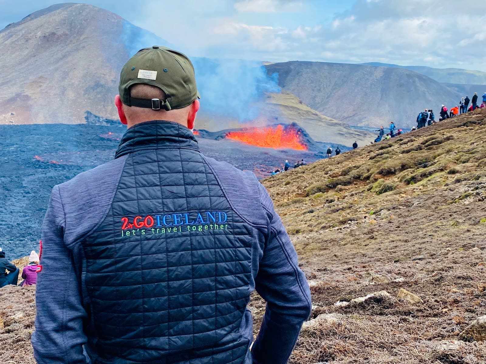
From the summit, you can often see new eruption sites like Litli-Hrútur and older ones like Fagradalsfjall.
What Travellers Say
Reviews Summary
Visitors praise Keilir Mountain for its striking cone shape and incredible panoramic views of the Reykjanes Peninsula. The hike is considered moderately challenging, with the final ascent being steep and slippery. Some find the rough access road and lack of facilities inconvenient, but the unique geological formation and accessible summit views make it a worthwhile stop.
"Mount Keilir (378.m) was made in a volcanic eruption under a glacier during the last Ice Age giving it the distinctive cone shape.
The drive from the highway up towards the mountain is 8.km on a ROUGH gravel road. The car park is aprox. 45.min walk from the mountain and the hike up on the mountain top it self is approximately about 30-40.min for an average hiker.
On the top there is a perfect view over the whole of the Southern Peninsula of Iceland.
Things to be aware of:
-Bad or no telephone reception in the whole area.
-Hiking route is very exposed to the weather and windy condition.
-Not recommended to hike this mountain in limited visibility or icy-condition."
Sigursteinn Saevarsson
"very nice open view, highest peak in the area but the last bit is quite steep and slippery because of the sand and gravel so not too easy"
larissa brunner
"Nice and close volcano to visit if your just staying in the southwest area. I didn't get very close to it but there is trail that leads to the summit."
Dennis Scharf
What People Like
What People Dislike
Frequently Asked Questions
🚇 🗺️ Getting There
Keilir Mountain is accessible via a rough 8km gravel road from the main highway (Route 41). Many visitors use a 4x4 vehicle for easier access to the parking area, though regular cars can manage with caution. The drive from Keflavík Airport or Reykjavík is straightforward, but be prepared for the unpaved section.
No, the road leading to the parking area for Keilir Mountain is a rough gravel road. It requires careful driving, especially after rain or in winter conditions.
You can drive to a parking area near Keilir Mountain, but not directly to the summit. From the parking lot, it's approximately a 30-40 minute walk to the base of the mountain, followed by the hike up.
From Keflavík Airport, take Route 41 towards Reykjavík and then follow signs for Keilir Mountain. The drive is relatively short, but the final stretch is on a rough gravel road.
Public transport options to Keilir Mountain are very limited. It is best accessed by a private vehicle or a guided tour.
🎫 🎫 Tickets & Entry
No, there are no entrance fees or tickets required to hike Keilir Mountain. It is a natural attraction accessible to the public.
Keilir Mountain is accessible year-round, 24 hours a day. However, hiking is only recommended during daylight hours and in good weather conditions.
There is no admission fee to visit or hike Keilir Mountain. It's a free natural attraction on the Reykjanes Peninsula.
While technically accessible, visiting Keilir Mountain at night is not recommended due to poor visibility, lack of lighting, and potential safety hazards on the trail.
No, there are no facilities such as toilets, shops, or information desks at Keilir Mountain. Visitors should come prepared with all necessary supplies.
🎫 🥾 Onsite Experience
The hike from the parking area to the summit of Keilir Mountain takes approximately 30-40 minutes for an average hiker. The total round trip, including the walk from the car park, can take around 1.5 to 2 hours.
The hike is considered moderate. While the distance is not extensive, the final ascent to the summit is quite steep and can be slippery due to sand and gravel.
From the summit, you'll get a stunning 360-degree panoramic view of the entire Reykjanes Peninsula, including the coastline, lava fields, and sometimes even past eruption sites like Fagradalsfjall and Litli-Hrútur.
The hike can be challenging for very young children due to the steep and slippery final ascent. It's more suitable for older children who are comfortable with hiking.
Wear sturdy hiking boots with good grip, as the trail can be slippery. Dress in layers, as the weather can change quickly and it's often windy. Waterproof and windproof outer layers are highly recommended.
📸 📸 Photography
The most iconic photo opportunities are the mountain's perfect cone shape from a distance, the panoramic views from the summit, and the unique volcanic landscape surrounding it. The moss-covered lava fields are also photogenic. +1
Early morning or late afternoon offer the best light for photography, with softer shadows and warmer tones. The summit views are particularly stunning during golden hour.
Yes, from the summit of Keilir Mountain, you can often see recent eruption sites like Litli-Hrútur and Fagradalsfjall, offering a unique perspective on Iceland's volcanic activity.
A wide-angle lens is great for capturing the expansive views from the summit and the mountain's shape. A telephoto lens can be useful for distant eruption sites. Consider a tripod for low-light conditions or windy conditions.
There are no specific restrictions on photography at Keilir Mountain. However, always be mindful of your surroundings and other hikers.


Social
from TikTok, Instagram & Reddit