Angeles Crest Highway
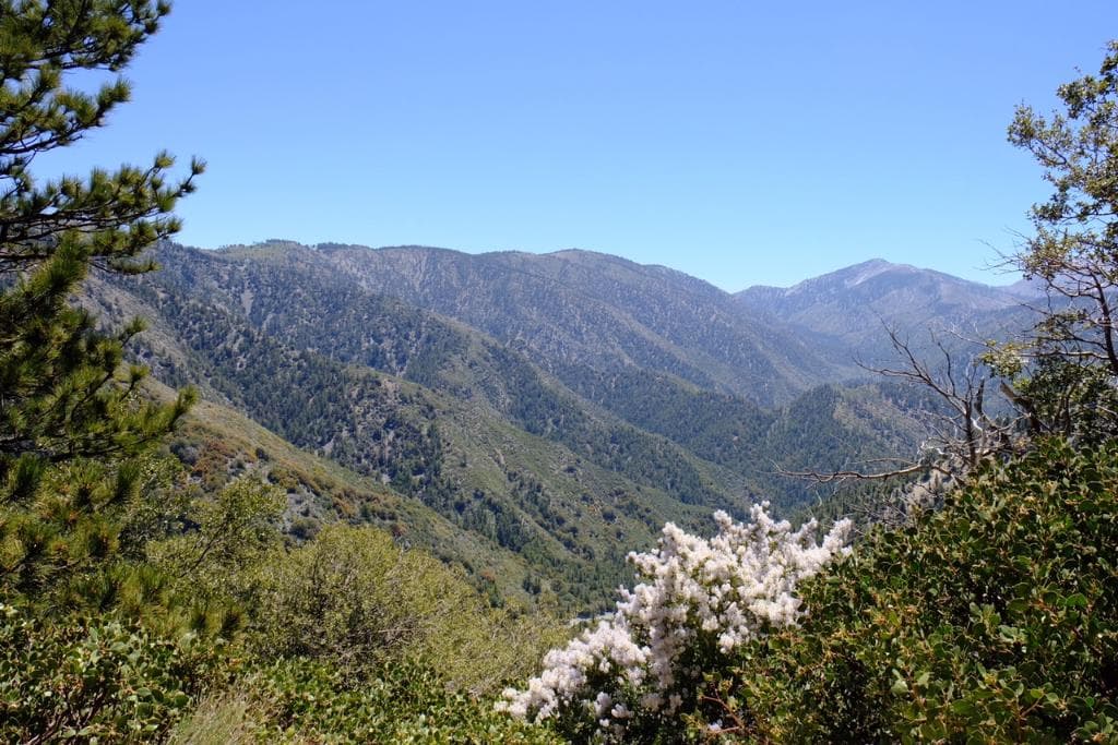
A 66-mile scenic byway in the San Gabriel Mountains, offering stunning vistas and a thrilling drive at high elevations.
Highlights
Must-see attractions

Social
From TikTok & Reddit
Best Time
Clearer views and safer driving
Angeles Crest Highway
Best Time
Clearer views and safer driving
Highlights
Must-see attractions
A 66-mile scenic byway in the San Gabriel Mountains, offering stunning vistas and a thrilling drive at high elevations.
🚗 Drive Carefully
This road is known for accidents. Take it slow, especially on curves.
⛽ Fuel Up Beforehand
Gas stations are scarce. Fill your tank before you start your journey.
Quick Facts
Highlights
Discover the most iconic attractions and experiences
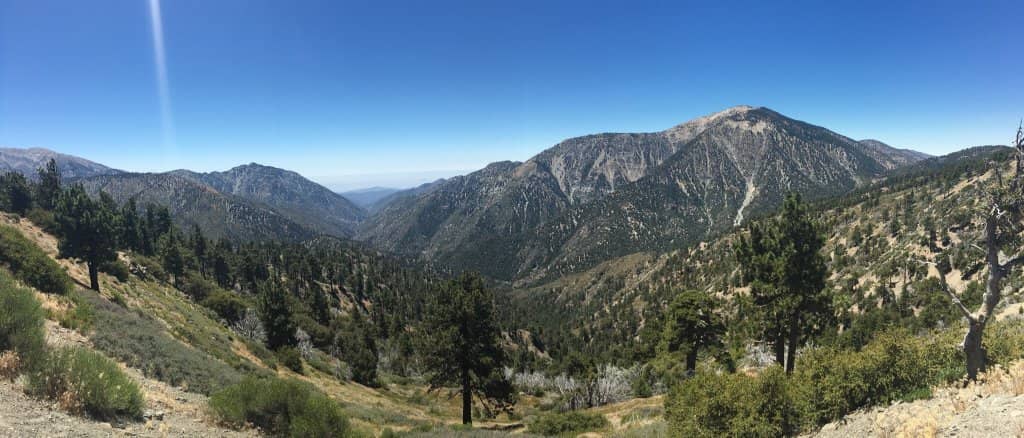
Panoramic Mountain Vistas
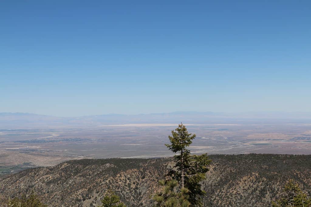
Experience breathtaking views of the San Gabriel Mountains from one of California's highest roads. Perfect for photography and soaking in nature's grandeur.
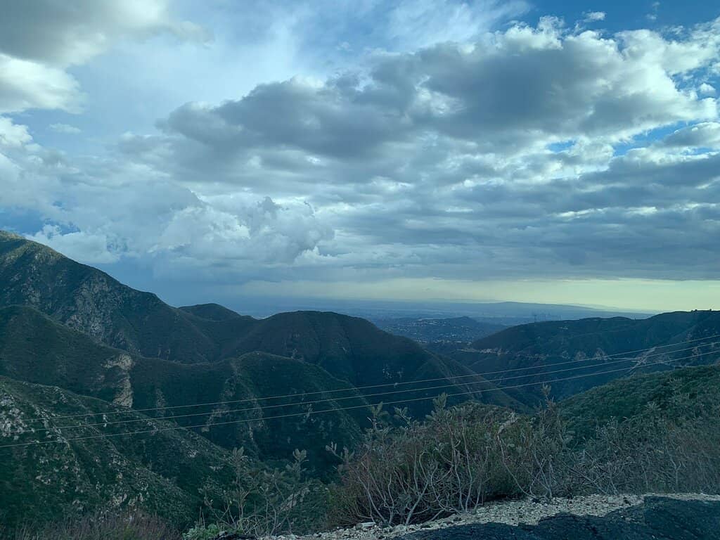
Twisting Mountain Roads
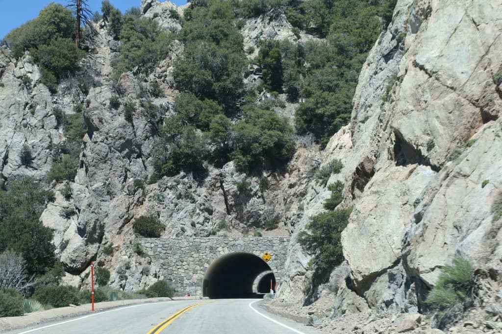
A thrilling drive with numerous curves and elevation changes, offering an exhilarating experience for drivers and motorcyclists alike.
Access to Hiking Trails
Discover trailheads like the Bighorn Mine Trail, offering opportunities for exploration and adventure within the Angeles National Forest.
Plans like a pro.
Thinks like you
Planning Your Visit
Drive with Caution
Respect the Scenery
Best Times
Insider Tips
from TikTok, Instagram & Reddit
🚗 Drive Carefully
This road is known for accidents. Take it slow, especially on curves.
⛽ Fuel Up Beforehand
Gas stations are scarce. Fill your tank before you start your journey.
📸 Pull Over Safely
Use designated pull-offs for photos to avoid blocking traffic.
⛰️ Pack for Elevation
It gets cooler at higher elevations. Bring layers, even in summer.
Tips
from all over the internet
🚗 Drive Carefully
This road is known for accidents. Take it slow, especially on curves.
⛽ Fuel Up Beforehand
Gas stations are scarce. Fill your tank before you start your journey.
📸 Pull Over Safely
Use designated pull-offs for photos to avoid blocking traffic.
⛰️ Pack for Elevation
It gets cooler at higher elevations. Bring layers, even in summer.
📱 Download Offline Maps
Cell service is spotty. Ensure you have offline navigation.
What Travellers Say
Reviews Summary
Angeles Crest Highway is lauded for its breathtaking mountain scenery and exhilarating driving experience, making it a must-visit for road trip enthusiasts. However, its challenging curves and steep drop-offs contribute to a reputation for danger, with frequent accidents reported. Visitors are strongly advised to drive with extreme caution and be well-prepared for the remote conditions.
What People Like
What People Dislike
Frequently Asked Questions
🚇 🗺️ Getting There
Angeles Crest Highway (CA-2) is accessible from La Cañada Flintridge via Angeles Crest Highway. It's a scenic drive north of Los Angeles, winding through the San Gabriel Mountains. +1
The highway is generally open year-round, but sections can be closed due to snow in winter or rockslides. Always check Caltrans for current road conditions before you go.
Many recommend driving it during daylight hours for the best views and safety. Weekdays tend to be less crowded than weekends.
Gas stations are extremely limited and often closed. It's crucial to fill up your tank before you begin your drive.
Speed limits vary, but many sections are posted at 35-45 mph due to the winding nature of the road. It's advisable to drive slower than the posted limit, especially on curves.
🎫 🎫 Tickets & Entry
No, Angeles Crest Highway is a public road and does not require an entrance ticket. However, you may need a National Forest Adventure Pass if you plan to stop and hike or use facilities within the Angeles National Forest.
While the road itself is free, parking at trailheads or picnic areas within the Angeles National Forest may require a National Forest Adventure Pass.
Angeles Crest Highway is open 24/7, but driving at night is not recommended due to the lack of lighting and potential hazards.
Yes, a regular car is suitable for driving Angeles Crest Highway. However, be mindful of the road's condition and potential for debris.
Due to its narrow, winding nature and steep drop-offs, Angeles Crest Highway is not recommended for RVs or large vehicles.
🎫 🏞️ Onsite Experience
Many pull-offs offer stunning panoramic views. Look for designated overlooks for the most dramatic scenery of the San Gabriel Mountains.
Yes, several hiking trails, such as the Bighorn Mine Trail, are accessible directly from the highway.
Yes, it is known for its challenging curves and steep drop-offs, leading to a reputation for accidents, particularly for motorcyclists. Drive with extreme caution.
You might spot various wildlife, including deer, birds, and potentially coyotes. Always maintain a safe distance and do not feed the animals.
Absolutely! The dramatic mountain landscapes, winding roads, and expansive vistas make it a photographer's paradise.
🍽️ 🍽️ Food & Dining
Dining options are very limited. Pack snacks and drinks, as services are scarce. The historic Mountain High ski resort area might have some seasonal options.
Yes, there are designated picnic areas within the Angeles National Forest. Remember to pack out all your trash.
It's highly recommended to bring plenty of water and snacks, as you won't find many places to purchase them once you're on the highway.
📸 📸 Photography
Any designated pull-off offers incredible views. Look for spots with sweeping vistas of the mountains and valleys.
Golden hour (sunrise and sunset) offers beautiful light, but daytime provides clear views of the vast mountain ranges.
The winding roads themselves, the dramatic mountain peaks, and the expansive skies are the main photographic attractions.
A wide-angle lens is great for landscapes, and a telephoto lens can capture distant peaks. A sturdy tripod is useful for low-light conditions.
Drone usage is restricted in many National Forest areas. Always check current regulations with the Angeles National Forest before flying a drone.
Social
from TikTok, Instagram & Reddit