Cedar Valley Nature Trail
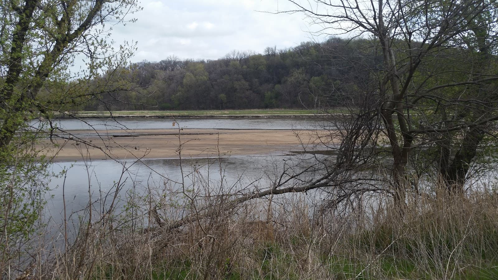
A serene natural escape with well-marked trails along the Cedar River, perfect for hiking, biking, and kayaking.
Highlights
Must-see attractions

Social
From TikTok & Reddit
Best Time
Wildflowers bloom, fewer crowds
Cedar Valley Nature Trail
Best Time
Wildflowers bloom, fewer crowds
Highlights
Must-see attractions
A serene natural escape with well-marked trails along the Cedar River, perfect for hiking, biking, and kayaking.
Download Trail Map 🗺️
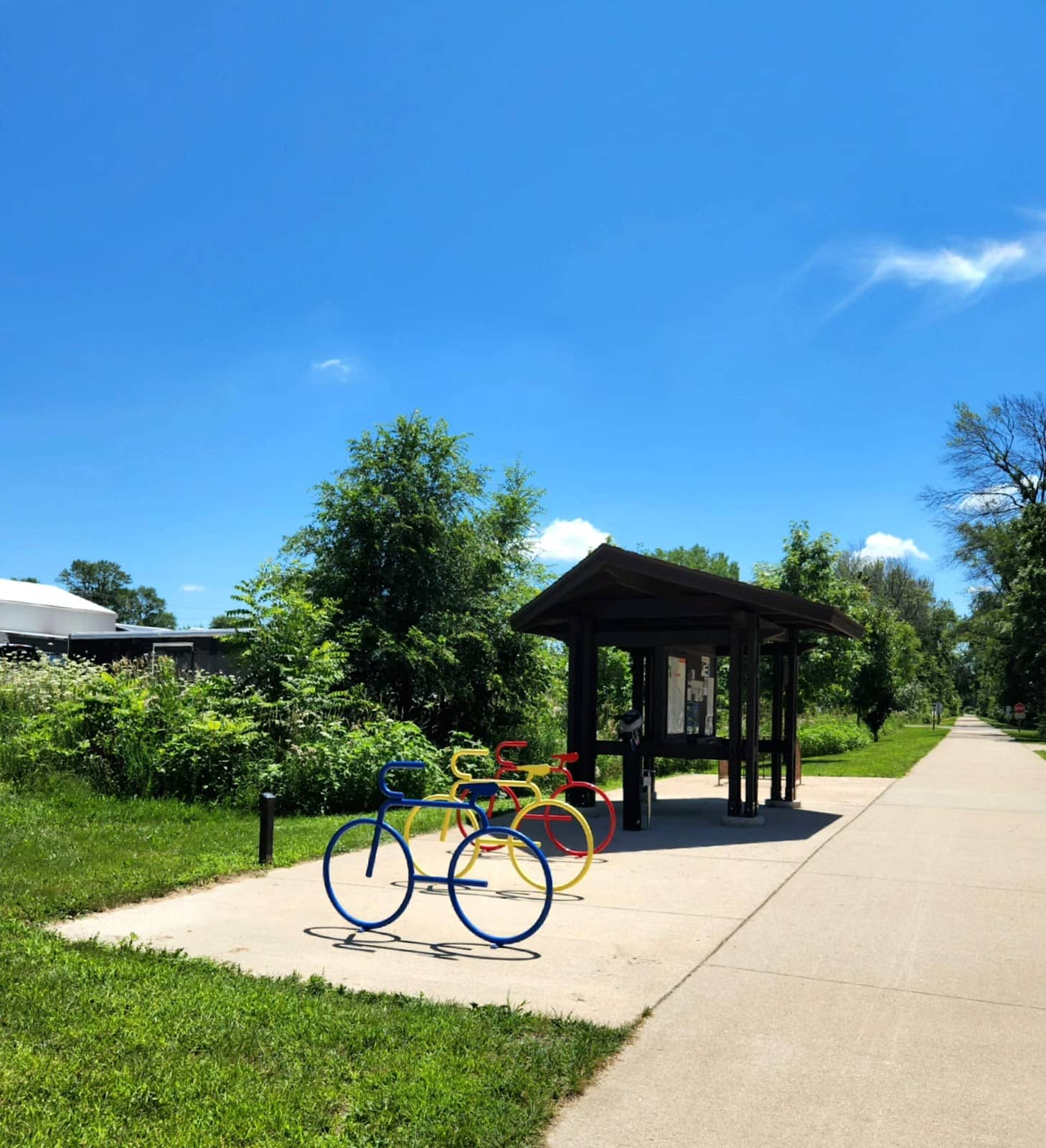
Get the Cedar Valley Nature Trail map PDF beforehand. Cell service can be spotty, so offline navigation is key!
Check for Closures ⚠️
Always verify Cedar Valley Nature Trail closure status online before heading out to avoid disappointment.

Quick Facts
Highlights
Discover the most iconic attractions and experiences
Cedar River Access
Along the trail
Enjoy scenic views and potential kayaking/canoeing opportunities on the gentle Cedar River.
Wooded Serenity
Throughout the trail
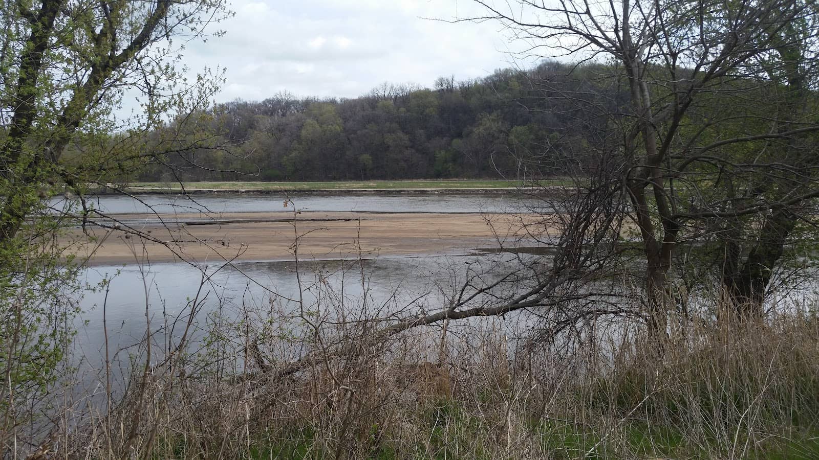
Immerse yourself in peaceful, shaded woodlands, perfect for a refreshing nature escape.
Mile Marker Exploration
Along the trail
Track your progress and discover points of interest using the clearly marked mile markers.
Plans like a pro.
Thinks like you
Planning Your Visit
Trail Conditions & Closures
Navigating the Trail
Best Times
Insider Tips
from TikTok, Instagram & Reddit
Seeking long paved trails in or near Cedar Rapids.
My family and I have been taking long walks for our daily exercise excursions but the kids are getting bored with our residential street meandering. Not to mention that sidewalks around the SW side are hit or miss. On Friday we walked all the way to downtown and explored the…
Download Trail Map 🗺️
Get the Cedar Valley Nature Trail map PDF beforehand. Cell service can be spotty, so offline navigation is key!
Check for Closures ⚠️
Always verify Cedar Valley Nature Trail closure status online before heading out to avoid disappointment.
Cedar Valley Nature Trail Question
Is this trail now completely paved? I read stories about funding being approved last year but can't find anything that says the process of paving is complete. Planning a bike ride and curious about the surface type. Thanks.
Bike trails
Hey Iowans I moved to the northern part of (Blair's ferry) cedar rapids late fall/early winter, and now that it's nice out I want to become more active. I'm considering getting a bike but would want to do more dirt paths and trails. I see people with bikes all the time around…
Wear Comfortable Shoes :athletic_shoe:
The trail is well-maintained, but good walking shoes are essential for enjoying the full distances.
River Access Points 🛶
If planning a float, research access points like Winnebago Park and Sutliff for a good route.
Bike route recommendation for first-time visitor
Hello, r/cedarrapids! My wife and I are visiting for the first time in a couple weeks and built an extra half-day in to explore on bikes. Seems the trail system is robust enough to get us out into the surrounding area with ease. Is Hawkeye WMA worth the out-and-back? Or are…
Tips
from all over the internet
Download Trail Map 🗺️
Get the Cedar Valley Nature Trail map PDF beforehand. Cell service can be spotty, so offline navigation is key!
Check for Closures ⚠️
Always verify Cedar Valley Nature Trail closure status online before heading out to avoid disappointment.
Wear Comfortable Shoes :athletic_shoe:
The trail is well-maintained, but good walking shoes are essential for enjoying the full distances.
River Access Points 🛶
If planning a float, research access points like Winnebago Park and Sutliff for a good route.
What Travellers Say
Reviews Summary
Visitors appreciate the peaceful, wooded environment and the accessibility of the Cedar Valley Nature Trail for walking and enjoying nature. The presence of mile markers and the option for river activities like kayaking are frequently highlighted as positives. Some users note the importance of checking for trail closures and having a map due to potential spotty cell service.
What People Like
What People Dislike
Frequently Asked Questions
🚇 🗺️ Getting There
The Cedar Valley Nature Trail is accessible from multiple points. Popular starting locations include trailheads near Winnebago Park and along the Cedar River. It's recommended to use a GPS or consult a Cedar Valley Nature Trail map to find the most convenient access for your planned activity.
Yes, parking is typically available at designated trailheads. However, availability can vary, especially on weekends or during peak seasons. Arriving early is advisable.
Public transport options may be limited for direct access to all trail points. It's best to check local transit schedules for routes that might get you close to a trailhead. Driving is generally the most common method.
Absolutely! The Cedar Valley Nature Trail has several access points along its length, allowing you to tailor your visit. Some are better suited for short walks, while others are ideal for longer hikes or river access.
Using a Cedar Valley Nature Trail map is highly recommended. Many visitors prefer to download a Cedar Valley Nature Trail map PDF for offline use, as cell service can be unreliable in some areas.
🎫 🎫 Tickets & Entry
Generally, the Cedar Valley Nature Trail is free to access. There are no admission fees required for hiking or enjoying the natural scenery.
The trail is typically open from dawn to dusk. However, it's always wise to check for any specific Cedar Valley Nature Trail closure notices, especially during inclement weather or for maintenance.
No, advance booking or tickets are not required for general access to the Cedar Valley Nature Trail. It's a public space for everyone to enjoy.
While generally open, be aware of any posted Cedar Valley Nature Trail closure information. Respect park rules, stay on marked paths, and pack out what you pack in.
The trail is usually accessible during daylight hours. It's best to avoid visiting during nighttime hours for safety reasons and to respect local regulations.
🎫 🏞️ Onsite Experience
The Cedar Valley Nature Trail offers varying distances depending on the sections you choose to explore. While specific total mileage can vary, it's designed for both short strolls and longer hikes. Refer to a Cedar Valley Nature Trail map for detailed segment lengths.
Yes, the Cedar Valley Nature Trail features mile markers to help you track your progress and gauge distances. These are useful for planning your hike and understanding your location.
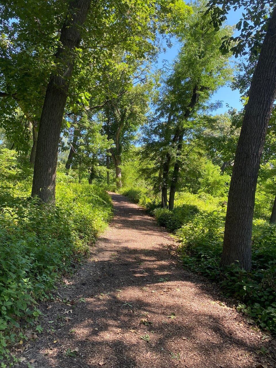
The terrain is generally well-maintained, featuring mostly flat or gently rolling paths through wooded areas. It's suitable for most fitness levels.
While primarily a walking and hiking trail, some sections may be suitable for casual biking. However, it's always best to check local regulations or signage regarding bicycle use.
Restroom facilities may be limited and are typically found at main trailhead access points. It's advisable to use facilities before starting your hike or be prepared for primitive conditions.
🎫 🛶 Water Activities
Yes, the Cedar River runs alongside parts of the trail and is suitable for kayaking and canoeing. Popular routes include Winnebago Park to Sutliff, offering a scenic float.
Winnebago Park is a recommended launch point. Another option is to put in a short way up from the dam, with Sutliff being a good pickup point downstream.
The river is generally considered a good, safe route for paddling, especially between designated points like Palisades and Sutliff. Always check current river conditions before heading out.
Rental services are not typically available directly at the trail. You would likely need to arrange rentals from a separate outfitter in the surrounding area.
While the river is used for kayaking, swimming safety can vary. Be aware of currents, depth, and any posted advisories. It's generally recommended for experienced paddlers rather than casual swimming.

Social
from TikTok, Instagram & Reddit