Upland Trail
Explore diverse landscapes from canyon rims to prairies on the Upland Trail, a versatile path for hiking, biking, and more.
Highlights
Must-see attractions

Social
From TikTok & Reddit
Best Time
Pleasant temperatures, blooming flora
Upland Trail
Best Time
Pleasant temperatures, blooming flora
Highlights
Must-see attractions
Explore diverse landscapes from canyon rims to prairies on the Upland Trail, a versatile path for hiking, biking, and more.
💧 Stay Hydrated!
Carry ample water, especially on warmer days. Dehydration can sneak up on you quickly.
👟 Wear Comfortable Shoes
Sturdy hiking shoes or trail runners are recommended for varied terrain.

Quick Facts
Highlights
Discover the most iconic attractions and experiences
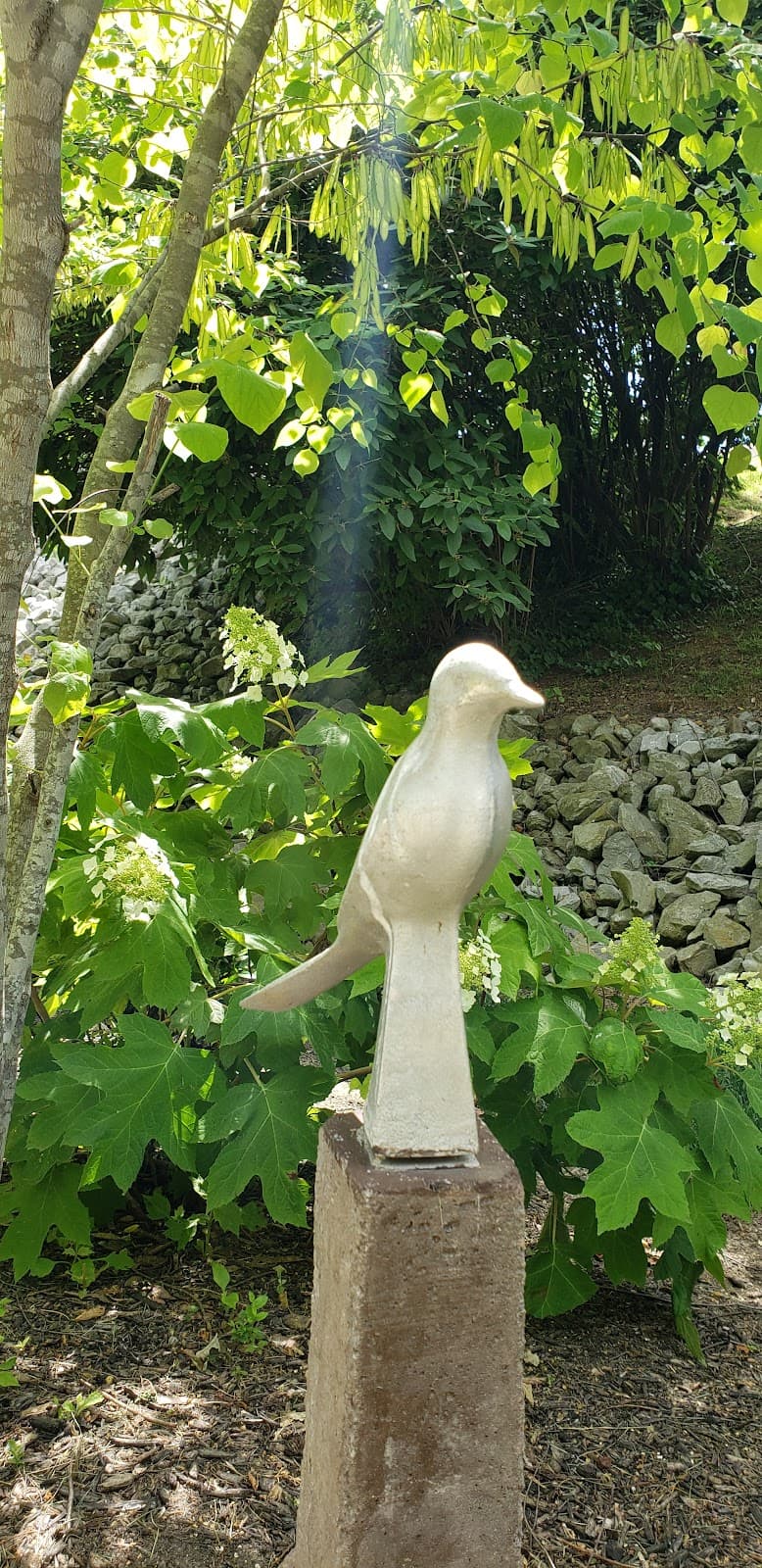
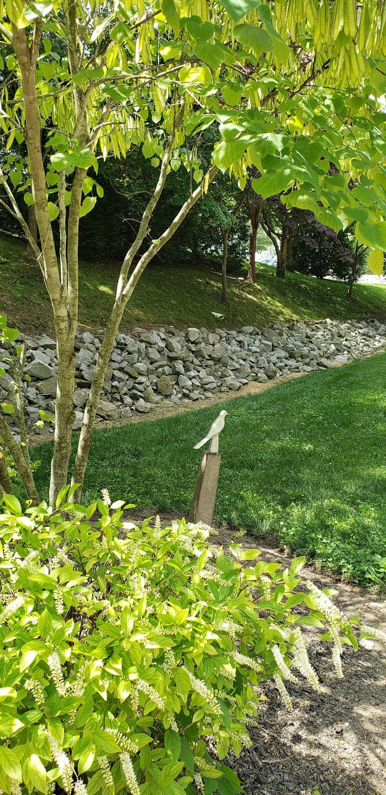
Scenic Canyon Views
Various viewpoints along the trail
Experience breathtaking vistas of the canyon and surrounding prairie lands. Perfect for photography and soaking in nature's beauty.

Diverse Terrain
Oak Flat / Upland / Rim Rock Nature Trail
Hike along canyon rims, through prairies, and even slightly into the canyon for a varied and engaging outdoor adventure.
Year-Round Recreation
Steinke Basin
Enjoy this multi-use trail for hiking, trail running, mountain biking, and even silent sports like cross-country skiing and snowshoeing in winter.
Plans like a pro.
Thinks like you
Planning Your Visit
Timing is Everything
Trail Etiquette & Safety
Best Times
Insider Tips
from TikTok, Instagram & Reddit
💧 Stay Hydrated!
Carry ample water, especially on warmer days. Dehydration can sneak up on you quickly.
👟 Wear Comfortable Shoes
Sturdy hiking shoes or trail runners are recommended for varied terrain.
📱 Download Offline Maps
Cell service can be spotty. Ensure you have offline maps downloaded for navigation.
🚴 Be Trail Aware
Yield to uphill hikers and be aware of cyclists and runners on this multi-use trail.
Tips
from all over the internet
💧 Stay Hydrated!
Carry ample water, especially on warmer days. Dehydration can sneak up on you quickly.
👟 Wear Comfortable Shoes
Sturdy hiking shoes or trail runners are recommended for varied terrain.
📱 Download Offline Maps
Cell service can be spotty. Ensure you have offline maps downloaded for navigation.
🚴 Be Trail Aware
Yield to uphill hikers and be aware of cyclists and runners on this multi-use trail.
📸 Capture the Views
Don't forget your camera! The canyon vistas are stunning, especially during golden hour.
What Travellers Say
Reviews Summary
Visitors often praise the Upland Trail for its stunning natural beauty, diverse landscapes, and opportunities for various outdoor activities. The scenic canyon views and varied terrain are frequently highlighted as major draws. However, some users note that trail conditions can vary, and proper preparation is essential due to the natural environment.
What People Like
What People Dislike
Frequently Asked Questions
🚇 🗺️ Getting There
Access points vary by location. For the Upland Trail in San Bernardino, check for trailheads near Colonies Pkwy and Grove Ave. For other Upland Trail locations like Black Canyon of the Gunnison National Park, consult park maps for specific trailhead access.
Parking availability can differ. Some trailheads, like the one in Steinke Basin, are accessed from Cty Rd DL. It's advisable to check local park information or trail guides for specific parking details at your intended access point.
Public transportation options are limited for most Upland Trail locations, especially those in national parks or more remote natural areas. Driving is typically the most convenient way to access these trails.
GPS coordinates will vary depending on the specific section of the Upland Trail you plan to visit. For example, one location is near Colonies Pkwy, San Bernardino, 91784. It's best to search for the specific Upland Trail you're interested in to find precise coordinates.
Yes, depending on the specific Upland Trail system, there can be multiple entrances or trailheads. For instance, the Steinke Basin Upland Trail is a loop accessed from a specific trailhead.
🎫 🎫 Tickets & Entry
Generally, most Upland Trail locations are free to access for hiking. However, if the trail is within a national park or a managed recreation area, there might be entrance fees or permits required.
Upland Trails are typically open from dawn to dusk, allowing for year-round access for silent sports and hiking. Always check local park or forest service advisories for any temporary closures or specific hours.
Most Upland Trail systems do not have an admission fee for hiking. However, if you are visiting a national park that features an Upland Trail, standard park entrance fees may apply.
Guided tours are not commonly offered for most Upland Trail sections. These trails are generally designed for self-guided exploration.
For general hiking, permits are usually not required. However, if you plan on activities like overnight camping or specific group events, permits might be necessary. Always check with the managing authority.
🎫 🥾 Onsite Experience
The difficulty can vary. Some sections, like the Oak Flat / Upland / Rim Rock Nature Trail, are described as having a little bit of everything, including drops into the canyon. Others, like the Steinke Basin loop, are noted as mixed terrain.
It's best to research the specific Upland Trail you plan to hike.
Hiking times vary greatly depending on the length and difficulty of the specific Upland Trail. The Oak Flat / Upland / Rim Rock Nature Trail is about 3.15 miles and takes approximately 1.5 hours. The Steinke Basin Upland Trail is a 3.8-mile loop.
Pet policies can differ significantly between Upland Trail locations. Some may allow dogs on leash, while others might have restrictions, especially in national parks. Always check the specific regulations for the area you are visiting.
Facilities can be minimal. Some trailheads might have restrooms or picnic areas, but it's common to find no facilities along the trail itself. Come prepared with your own supplies.
Some sections of the Upland Trail can be suitable for beginners, especially if they are shorter and have less challenging terrain. However, given the varied nature and potential for elevation changes, it's wise to start with a shorter, well-marked segment if you're new to hiking. +1
📸 📸 Photography
The rim edges offer stunning panoramic views of the canyon and surrounding landscapes, making them prime photography locations. Look for overlooks that provide expansive vistas and interesting geological formations.
Early morning and late afternoon, often referred to as the 'golden hours,' provide the most dramatic and flattering light for photography. The soft light minimizes harsh shadows and enhances the colors of the landscape.
Drone usage is often restricted in national parks and protected natural areas. Always check the specific regulations for the Upland Trail location you are visiting before flying a drone.
Wildlife sightings can vary. Keep an eye out for birds of prey soaring overhead, small mammals in the prairie areas, and potentially larger wildlife depending on the region.
While specific named viewpoints might not be universally listed, keep an eye out for natural clearings or designated overlooks along the trail that offer unobstructed views of the canyon and surrounding scenery.


Social
from TikTok, Instagram & Reddit