Stevens Creek Trail Cupertino
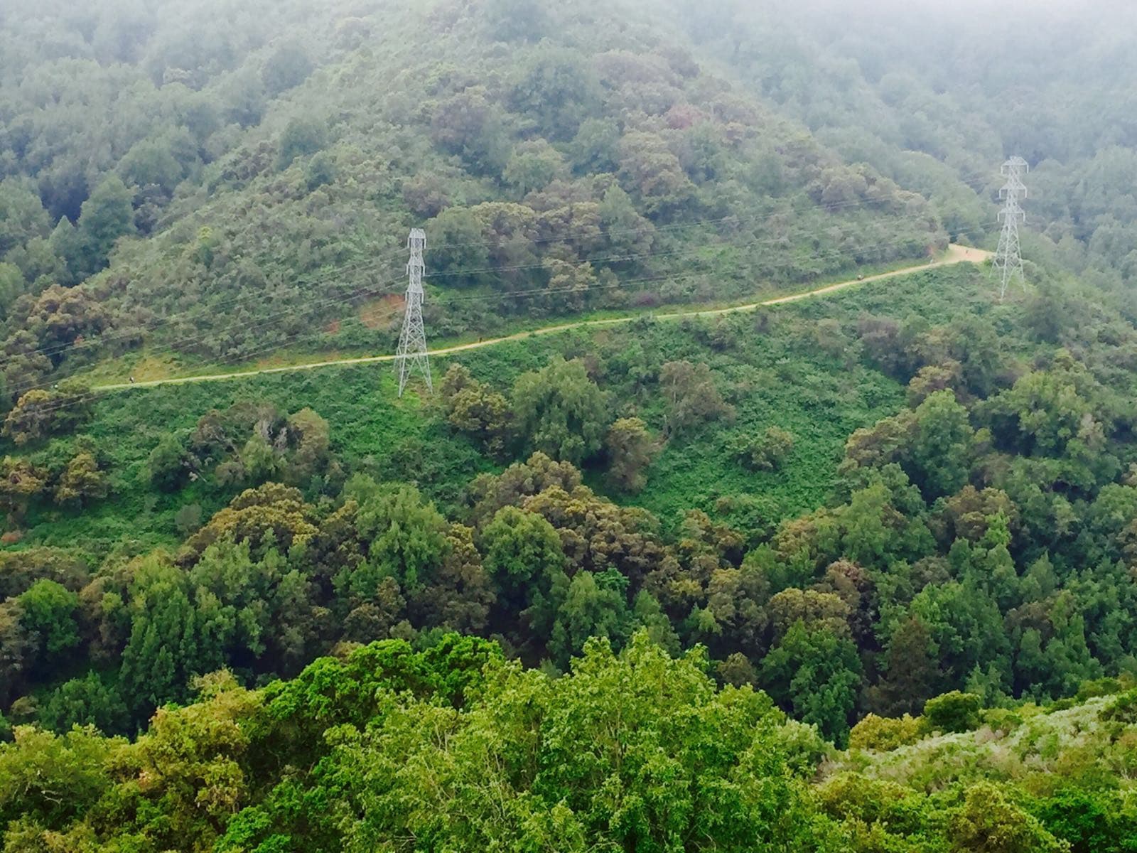
A scenic trail in Cupertino offering diverse terrain for biking and hiking, with beautiful reservoir views and free access.
Highlights
Must-see attractions

Social
From TikTok & Reddit
Best Time
Fewer crowds, cooler temps
Stevens Creek Trail Cupertino
Best Time
Fewer crowds, cooler temps
Highlights
Must-see attractions
A scenic trail in Cupertino offering diverse terrain for biking and hiking, with beautiful reservoir views and free access.

🚴♀️ Bike the Full Stretch
Consider biking the 25 miles from Cupertino to Palo Alto and back for a rewarding long-distance ride.
🗺️ Download Offline Maps
Essential for exploring side trails; cell service can be unreliable. Avoid getting lost!

Quick Facts
Highlights
Discover the most iconic attractions and experiences

Stevens Creek Reservoir Views
Along the trail
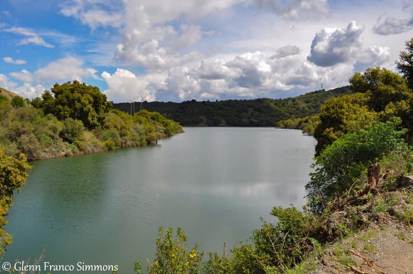
Enjoy scenic vistas of the reservoir, offering a tranquil backdrop for your outdoor activities. Perfect for a moment of reflection.

Downhill Nirvana
Various sections
Experience exhilarating downhill rides, especially if you're on a mountain bike. The terrain offers a thrilling challenge for cyclists.
Tony Look Trail Loop
Stevens Creek County Park
A popular moderate loop offering a mix of sun and shade, with rewarding views of the Bay Area. Great for a ~6-mile hike.
Plans like a pro.
Thinks like you
Planning Your Visit
Best Time for a Smooth Ride
Trail Navigation Essentials
Best Times
Insider Tips
from TikTok, Instagram & Reddit
🚴♀️ Bike the Full Stretch
Consider biking the 25 miles from Cupertino to Palo Alto and back for a rewarding long-distance ride.
🗺️ Download Offline Maps
Essential for exploring side trails; cell service can be unreliable. Avoid getting lost!
🐶 Leashed Dogs Welcome
Bring your furry friends along for the adventure, as dogs on leashes are permitted on the trails.
🅿️ Free Parking Available
Parking is conveniently free at the trailhead, making access easy for visitors.
Tips
from all over the internet
🚴♀️ Bike the Full Stretch
Consider biking the 25 miles from Cupertino to Palo Alto and back for a rewarding long-distance ride.
🗺️ Download Offline Maps
Essential for exploring side trails; cell service can be unreliable. Avoid getting lost!
🐶 Leashed Dogs Welcome
Bring your furry friends along for the adventure, as dogs on leashes are permitted on the trails.
🅿️ Free Parking Available
Parking is conveniently free at the trailhead, making access easy for visitors.
What Travellers Say
Reviews Summary
Visitors rave about the scenic beauty of Stevens Creek Trail, particularly the reservoir views and the exhilarating downhill biking opportunities. The accessibility and free parking are major pluses. Some find the trail navigation challenging on side paths, and the summer heat can be intense.
What People Like
What People Dislike
Frequently Asked Questions
🚇 🗺️ Getting There
Stevens Creek Trail is accessible from various points in Cupertino. The main access is often through Stevens Creek County Park, located at 11401 Stevens Canyon Rd, Cupertino, CA 95014. Free parking is available at the trailhead.
Absolutely! Stevens Creek Trail is a popular spot for biking, offering both paved sections and more rugged paths suitable for mountain bikes. You can enjoy rides from leisurely cruises to longer 25-mile excursions.
Yes, the trail extends from Cupertino all the way to Palo Alto, covering approximately 25 miles one way. This makes it ideal for longer cycling adventures.
Popular starting points include Stevens Creek County Park for hiking and biking, and various access points along the trail in Cupertino and Palo Alto. Consider your desired distance and terrain when choosing.
While direct public transport to trailheads might be limited, you can use local bus services to get to areas near the trail in Cupertino and then walk or bike to an access point. Check local transit schedules for routes serving the area.
🎫 🎫 Tickets & Entry
No, accessing Stevens Creek Trail and its associated parks like Stevens Creek County Park is generally free. Parking is also complimentary at designated trailheads.
The trail and county park are typically open from sunrise to sunset. It's always a good idea to check the official Santa Clara County Parks website for any specific seasonal hours or closures.
No advance booking or tickets are required to use Stevens Creek Trail. It's a public access trail, so you can visit anytime during operating hours.
For organized group events or large gatherings, permits might be necessary. Contact Santa Clara County Parks directly to inquire about requirements for your specific activity.
Parts of the trail, particularly the main paved sections, are generally accessible. However, some natural surface trails may present challenges. It's best to check with the park service for detailed accessibility information.
🎫 🧭 Onsite Experience
The difficulty varies. The main paved trail is relatively flat and easy, suitable for beginners. However, side trails and loops within Stevens Creek County Park can be moderate to challenging, especially for biking.
You'll find a mix of paved surfaces on the main trail, ideal for casual biking and walking. Within the county park, expect natural dirt paths, roots, and rocks, which are great for mountain biking and more adventurous hiking.
Restroom facilities are available at trailheads and within Stevens Creek County Park. It's advisable to check park maps or inquire locally about specific locations.
Cell service can be inconsistent, especially on the more remote sections or within the county park. Downloading offline maps is highly recommended for navigation.
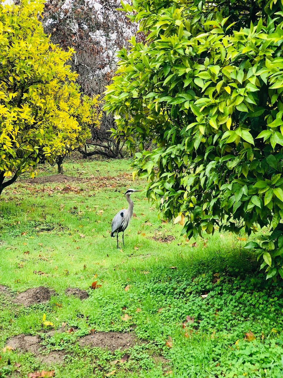
You might spot various local wildlife, including birds, squirrels, and potentially deer. Remember to observe from a distance and not disturb the animals.
📸 📸 Photography
The Stevens Creek Reservoir offers beautiful water views, especially during sunrise or sunset. The diverse terrain within the county park provides opportunities for capturing action shots of biking and scenic nature photography.
Yes, the rolling hills, oak trees, and the reservoir create picturesque landscapes. The mix of sun and shade can add depth to your shots, particularly on the Tony Look Trail loop.
Early mornings and late afternoons offer the best light for photography, with softer shadows and warmer tones. This is also when the trail is less crowded.
Drone usage is often restricted in county and state parks to protect wildlife and ensure visitor safety. It's crucial to check the specific regulations for Stevens Creek County Park and Santa Clara County Parks before flying a drone.
The views of the Stevens Creek Reservoir are a highlight. For cyclists, capturing the downhill sections can make for dynamic action shots.



Social
from TikTok, Instagram & Reddit