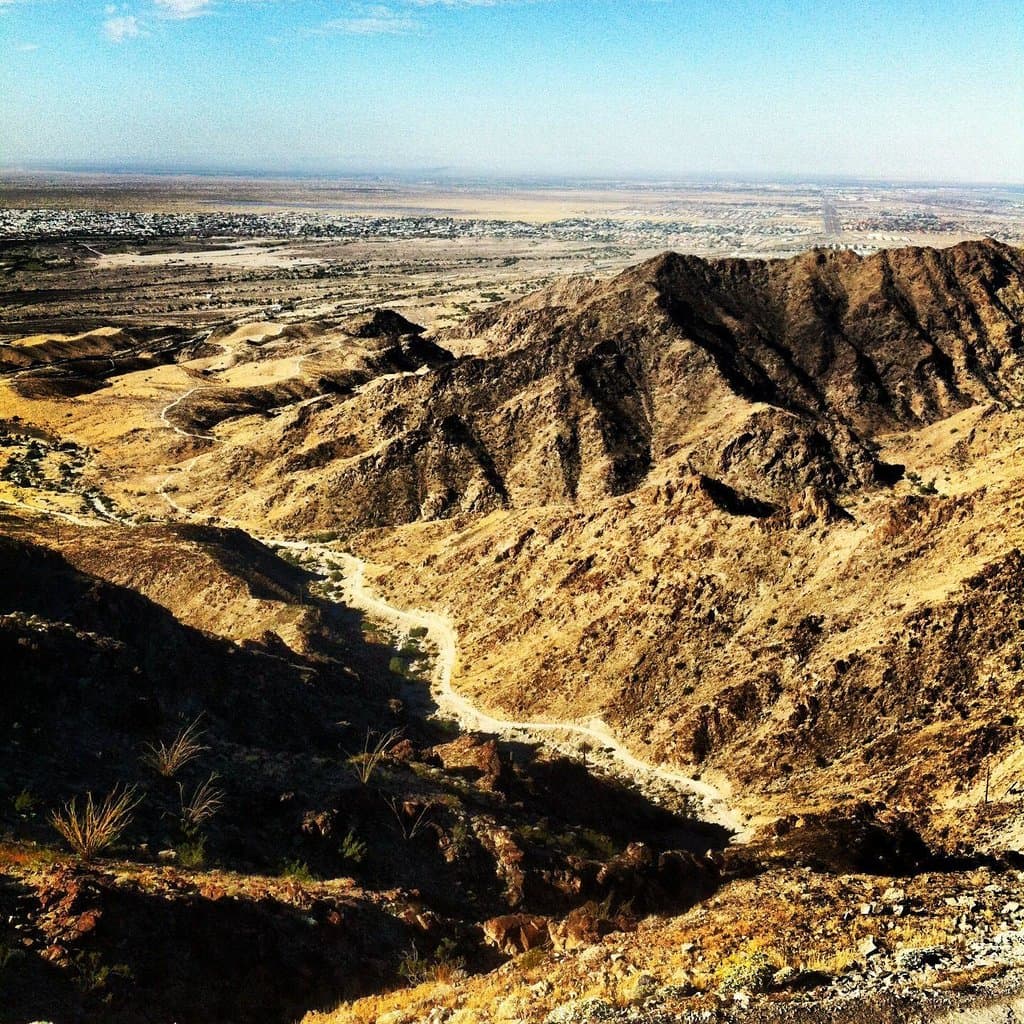
Telegraph Pass Trail
A challenging desert hike near Yuma, AZ, offering steep inclines and rewarding panoramic views. Popular for fitness and scenic exploration.
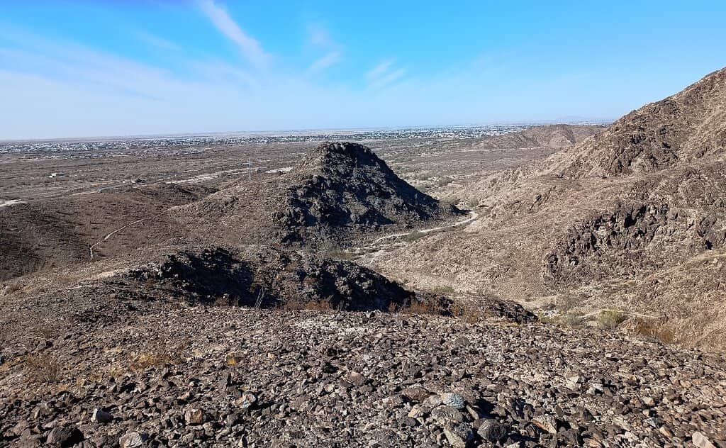
Highlights
Must-see attractions

Social
From TikTok & Reddit
Best Time
Escape the desert heat

Telegraph Pass Trail
Best Time
Escape the desert heat

Highlights
Must-see attractions
A challenging desert hike near Yuma, AZ, offering steep inclines and rewarding panoramic views. Popular for fitness and scenic exploration.
"This hike is the best part about living in Yuma. "
💧 Bring Ample Water
Crucial for any desert hike. Stay hydrated to tackle the steep inclines and heat.
👟 Wear Sturdy Footwear
Good hiking boots are essential for the steep and sometimes rocky terrain.
Highlights
Discover the most iconic attractions and experiences

Summit Views
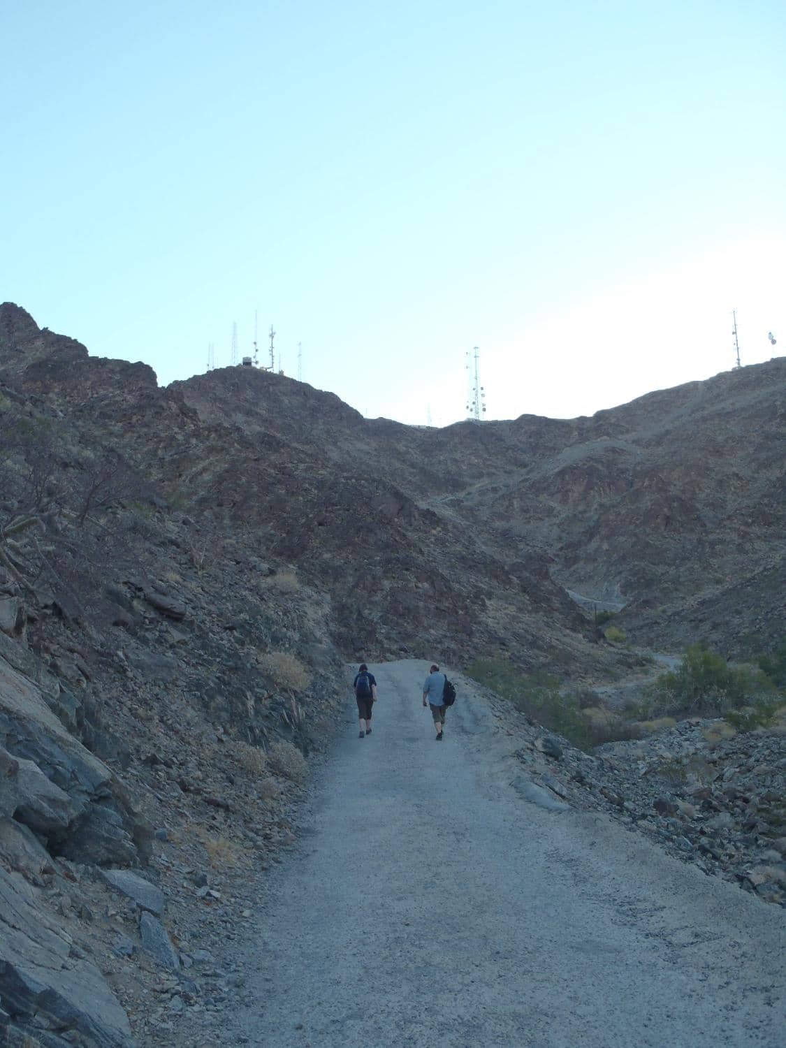
First cell tower area
Reach the summit for panoramic desert vistas. The challenging climb rewards you with stunning Yuma landscapes.

Steep Incline Challenge
Last mile of the main trail
Experience the intense, steep climb that tests your endurance. It's a significant workout for hikers and runners.
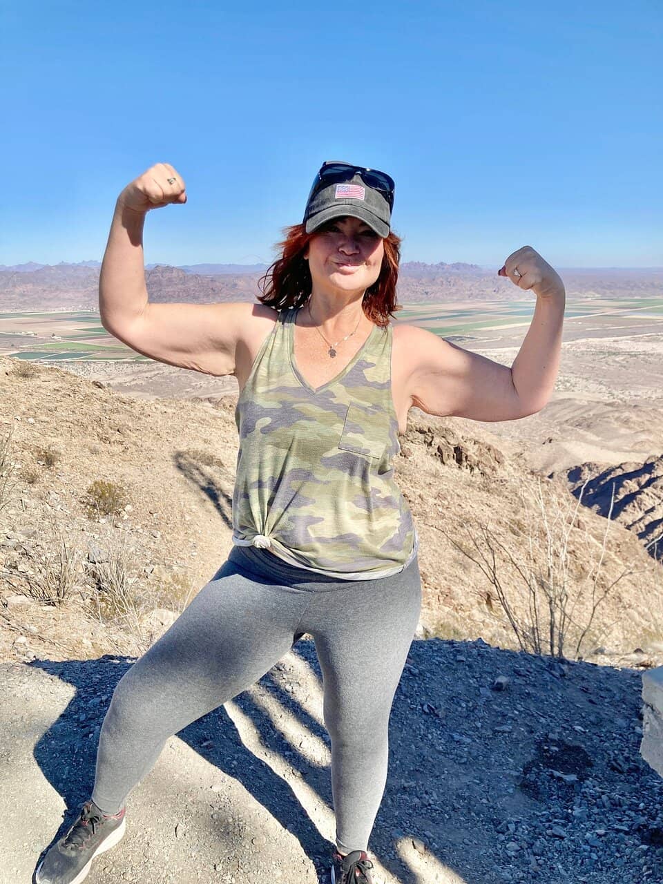
Scenic Loop Options
Various offshoots from the main trail
Explore diverse paths beyond the main route. Some offer more scenic beauty on your descent.
Plans like a pro.
Thinks like you
Planning Your Visit
Timing is Everything
Trail Difficulty & Safety
Best Times
Insider Tips
from TikTok, Instagram & Reddit
💧 Bring Ample Water
Crucial for any desert hike. Stay hydrated to tackle the steep inclines and heat.
👟 Wear Sturdy Footwear
Good hiking boots are essential for the steep and sometimes rocky terrain.
🔦 Headlamp/Phone Light
If hiking near sunset, ensure you have light for the descent.
🐍 Watch for Wildlife
Be aware of your surroundings, especially for snakes.
Tips
from all over the internet
💧 Bring Ample Water
Crucial for any desert hike. Stay hydrated to tackle the steep inclines and heat.
👟 Wear Sturdy Footwear
Good hiking boots are essential for the steep and sometimes rocky terrain.
🔦 Headlamp/Phone Light
If hiking near sunset, ensure you have light for the descent.
🐍 Watch for Wildlife
Be aware of your surroundings, especially for snakes.
⏱️ Pace Yourself
The last mile is very steep. Focus on completing the hike, not just speed.
What Travellers Say
Reviews Summary
Telegraph Pass Trail is a beloved local challenge, praised for its intense workout and rewarding summit views. While many enjoy the steep climb and scenic desert landscape, hikers should be prepared for the heat and potential wildlife. It's a must-do for those seeking a strenuous hike in Yuma.
"Love Telegraph pass, very challenging...if you're weak! Best time to go is about 90mins before sunset so you have some light on the way back down. 5 mile round trip loop from the parking lot area to the top or "1st cell tower area" the last mile is 1100' up and the grade is very steep the last 0.6 or so, good luck running the whole way up, also watch out for snakes! I've done it 58 times over the last 2 years and only seen a snake 2 times but last night I almost stepped on a small (2ft long) rattlesnake!!! So be careful! Bring flashlights or make sure you have phone juice for the hike back down. If you can make it to the top in under 30mins I'll be impressed. It should put you in the top 10 on strava. No point in timing your self on the way down. There is no glory in racing DOWN a mountain...plus you don't want to hurt yourself or bust your knees. This hike is the best part about living in Yuma."
Ben Jones
"Bring water and start early! Always a good time hiking this trail! One of the best trails here in Yuma!"
rafael rojas
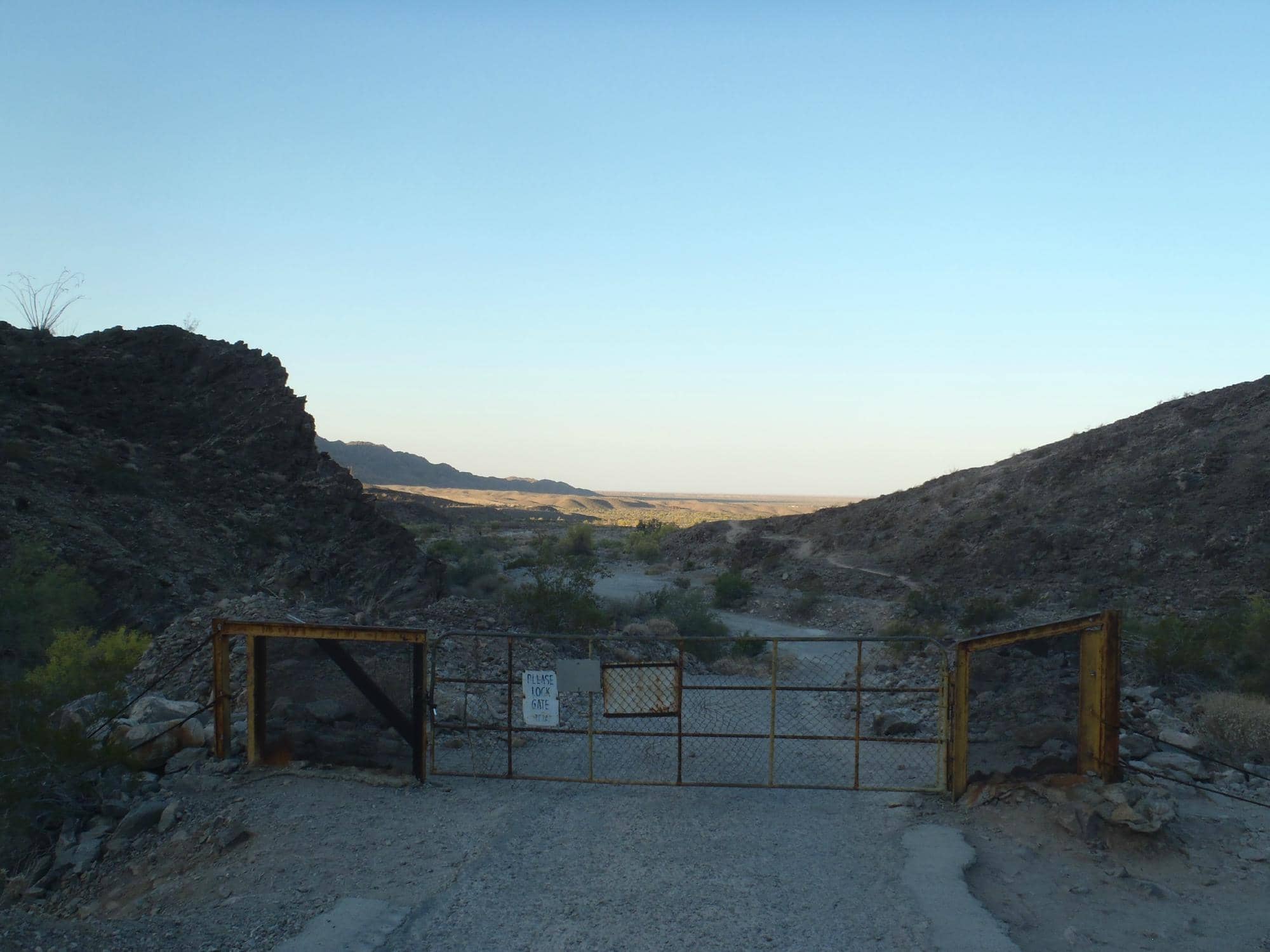
"Multiple trails to get to the main trailhead that goes up to 1100ft. After you pass the gate that where the real challenge starts, intensive incline all the way to the top."
Brian Barraza
What People Like
What People Dislike
Frequently Asked Questions
🚇 🗺️ Getting There
The main Telegraph Pass trailhead is located near Yuma, Arizona. Look for signs directing you to the parking area. The trailhead parking is a key starting point for accessing the main trail.
Access to the Telegraph Pass trailhead parking is typically via local roads from Yuma. Many visitors use GPS or mapping apps to navigate directly to the trailhead.
Public transportation options to the Telegraph Pass Trailhead are limited. It's generally recommended to have your own vehicle or arrange a ride.
Driving directions usually involve heading towards the outskirts of Yuma and following signs for Telegraph Pass. The route can be scenic, showcasing the desert landscape.
Yes, motorcycles can access areas around Telegraph Pass, and some enjoy riding the surrounding roads. However, the trail itself is primarily for hiking and mountain biking.
🎫 🎫 Tickets & Entry
No, there are no tickets or admission fees required to access and hike the Telegraph Pass Trail. It's a public access area.
Telegraph Pass is generally accessible during daylight hours. It's best to plan your visit during cooler parts of the day, especially outside of peak summer heat.
Currently, there is no parking fee at the Telegraph Pass Trailhead. Parking is available on a first-come, first-served basis.
While there aren't typically official guided tours, local groups or individuals might offer informal guided hikes. It's best to check local Yuma tourism resources.
No specific permits are required for general hiking or recreational use of the Telegraph Pass Trail.
🎫 🥾 Onsite Experience
The 5.3-mile loop trail typically takes about 3 hours to complete for most hikers. Those who hike regularly can do it faster, with some reaching the summit in under 30 minutes.
Telegraph Pass Trail is considered moderately challenging, with very steep sections, especially in the last mile. It's a great workout.
You can expect gorgeous panoramic views of the Yuma desert landscape from the summit. It's a popular spot for photography.
Yes, Telegraph Pass is a very popular area for birding, offering opportunities to spot various desert species.
Yes, Telegraph Pass Trail is popular for mountain biking, though some sections are quite challenging due to the steep inclines.
📸 📸 Photography
The summit offers expansive desert vistas. The trail itself, with its rugged terrain and unique desert flora, also provides great photographic opportunities.
Late afternoon, about 90 minutes before sunset, offers beautiful golden hour light for photography. Early mornings are also good for softer light.
Regulations regarding drone usage can vary. It's advisable to check with local authorities or park management before flying a drone in the area.
A wide-angle lens is great for capturing the expansive desert views. A sturdy camera bag is recommended due to the challenging terrain.
The first cell tower area at the summit is a common landmark. The rugged, rocky sections of the trail also make for dramatic shots.
For Different Travelers
Tailored advice for your travel style
👨👩👧 Families with Kids
💪 Fitness Enthusiasts
Deep Dives
In-depth insights and expert knowledge
Navigating the Terrain
Hikers should be prepared for a demanding workout. Some experienced individuals can reach the summit in under 30 minutes, but for most, a realistic time frame from the parking lot to the summit and back is 1.5 to 2 hours. The steepness means that running the entire way up is a significant feat, and caution is advised to avoid injury on the descent.
Key takeaway: Wear appropriate footwear, be ready for steep climbs, and consider exploring the smaller offshoot trails for varied experiences.
Best Times and Safety
Safety is paramount on this trail. Always bring plenty of water, as dehydration is a serious risk in the desert. Be aware of your surroundings, as rattlesnakes have been spotted on the trail. If you plan to hike near dusk or after sunset, carrying a flashlight or ensuring your phone has sufficient battery for its light function is essential for the descent.
Key takeaway: Prioritize cooler hours and months, stay hydrated, and be mindful of potential wildlife and visibility after dark.


Social
from TikTok, Instagram & Reddit