Bitterroot Trail
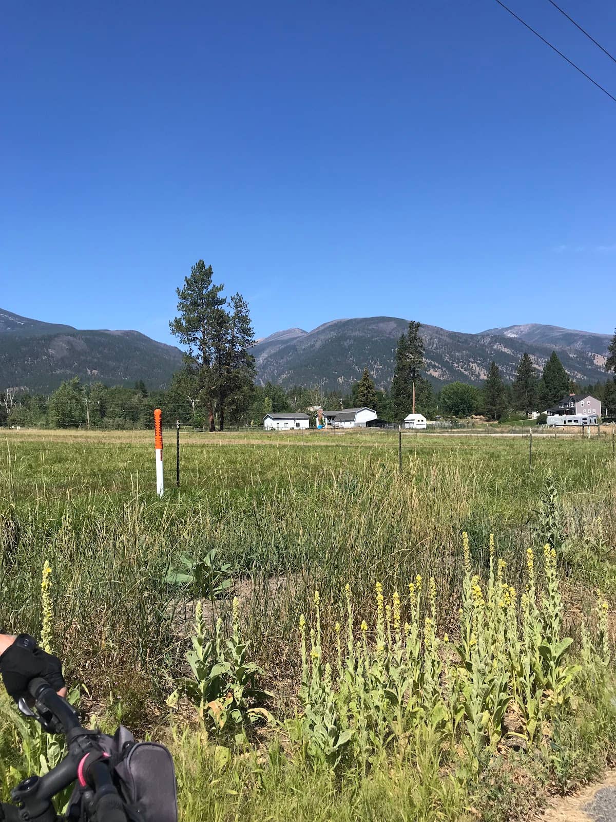
Explore the stunning Bitterroot Valley and Mountains, offering diverse trails for hiking, biking, and breathtaking scenic drives.
Highlights
Must-see attractions

Social
From TikTok & Reddit
Best Time
Ideal for hiking & biking
Bitterroot Trail
Best Time
Ideal for hiking & biking
Highlights
Must-see attractions
Explore the stunning Bitterroot Valley and Mountains, offering diverse trails for hiking, biking, and breathtaking scenic drives.
Pack a Map!
Trailhead maps can be scarce; snap a photo before you start your hike.
Beware of Blind Corners
Gravel roads to trailheads can have blind spots. Drive cautiously.
Quick Facts
Highlights
Discover the most iconic attractions and experiences
Blodgett Canyon Overlook
Hamilton, Montana
Panoramic views of the Bitterroot Valley and canyon. Wildflowers bloom in late spring/early summer.
Baker Lake Trail
Bitterroot National Forest
A stunning hike to a lake nestled below the snow line, especially beautiful with fall larches.

Bitterroot Bike Trail
Missoula to Hamilton
A scenic paved path perfect for cycling, offering views of the Bitterroot River and valley.
Hiawatha Trail
Idaho-Montana Border
A unique 15-mile bike trail through tunnels and over trestle bridges in the Bitterroot Mountains.
Plans like a pro.
Thinks like you
Planning Your Visit
Timing is Everything for Trail Access
Know Your Trail, Know Your Gear
Best Times
Insider Tips
from TikTok, Instagram & Reddit
Pack a Map!
Trailhead maps can be scarce; snap a photo before you start your hike.
Beware of Blind Corners
Gravel roads to trailheads can have blind spots. Drive cautiously.
Bring a Flashlight
Essential for the mile-and-a-half-long tunnel on the Hiawatha Trail.
Check River Conditions
The Bitterroot River can be dangerous; float only if you're experienced.
Tips
from all over the internet
Pack a Map!
Trailhead maps can be scarce; snap a photo before you start your hike.
Beware of Blind Corners
Gravel roads to trailheads can have blind spots. Drive cautiously.
Bring a Flashlight
Essential for the mile-and-a-half-long tunnel on the Hiawatha Trail.
Check River Conditions
The Bitterroot River can be dangerous; float only if you're experienced.
Mosquitoes Can Be Fierce
Especially in July during heather season in the Northern Bitterroot Mountains.
Wildlife Sightings
Keep an eye out for bison, deer, and bears, but maintain a safe distance.
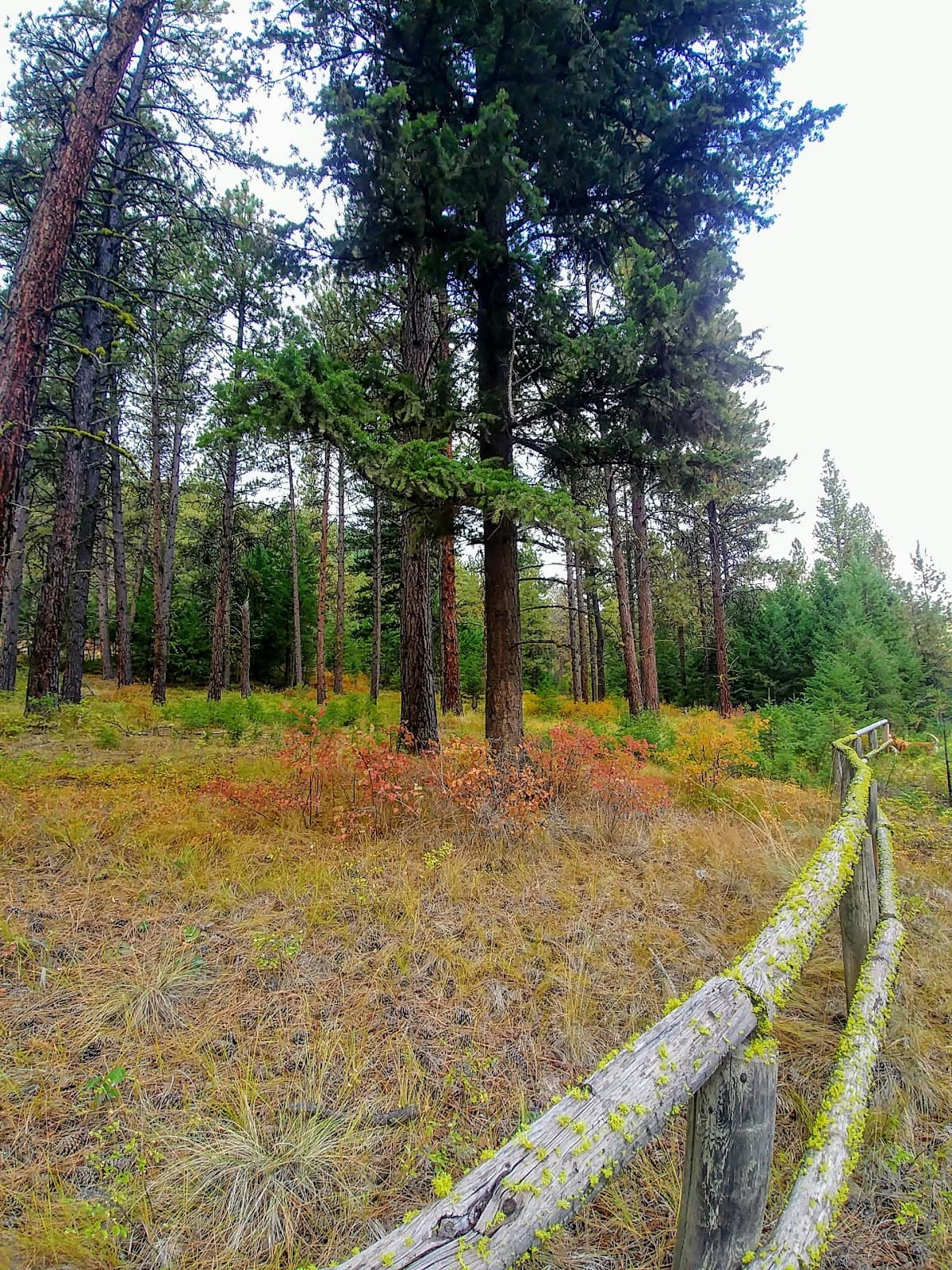
Larches in Fall
Catch the stunning golden hues of larches on mountain hikes. +1
What Travellers Say
Reviews Summary
Visitors rave about the stunning natural beauty of the Bitterroot Valley and Mountains, highlighting the diverse recreational opportunities from biking to challenging hikes. The scenic drives and opportunities for wildlife viewing are frequently praised, though some note that certain trails can be challenging and river conditions require caution.
What People Like
What People Dislike
Frequently Asked Questions
🚇 🗺️ Getting There
The Bitterroot Trail system is accessible via various points throughout the Bitterroot Valley, primarily from Missoula southwards. Major access points include trailheads near Hamilton, Conner, and Darby. For specific trails like the Hiawatha, you'll need to travel towards the Idaho-Montana border. Driving is the most common way to reach trailheads, with some areas accessible from scenic byways.
Public transportation options are limited for reaching most trailheads directly. The primary access is by personal vehicle. Some towns within the Bitterroot Valley may have local transit, but it generally doesn't extend to remote trail access points. Renting a car in Missoula is often the most practical solution for exploring the various Bitterroot hiking trails and the Bitterroot Bike Trail.
For hiking the Bitterroot Mountains, it's highly recommended to use a combination of GPS devices, downloaded offline maps, and physical maps. Cell service can be spotty. Many users suggest taking photos of trailhead maps as a backup. Familiarize yourself with the specific trail you plan to hike, as some routes can be challenging or require off-trail navigation.
Yes, the Bitterroot Valley itself is a scenic drive, often referred to as 'Montana's answer to the Napa Valley.' The Bitterroot Scenic Byway (US Highway 93) runs the length of the valley, offering stunning views of the mountains and river. Many trailheads are accessible directly from this highway, making it easy to combine driving with outdoor activities.
Absolutely! Missoula is a gateway to the Bitterroot Valley and its trails. The Bitterroot Bike Trail conveniently starts near Missoula, and many popular Bitterroot hiking trails are just a short drive south. You can also access trailheads for the Bitterroot Mountains from Missoula.
🎫 🎫 Tickets & Entry
Most day-use areas and trails within the Bitterroot National Forest do not require a specific permit for hiking. However, for overnight camping or dispersed camping, a permit might be necessary. It's always best to check the official U.S. Forest Service website for the Bitterroot National Forest for the most current regulations regarding permits and fees for specific areas or activities.
Generally, there are no general entrance fees to access the Bitterroot National Forest for day use. However, some developed recreation sites, such as campgrounds or specific trailheads with amenities, may have day-use fees. Always check signage at the trailhead or the Forest Service website for any applicable fees. The Hiawatha Trail, for instance, has a fee for use.
Most Bitterroot Trailheads are open year-round, 24 hours a day, as they are part of the public lands. However, access can be limited by snow in winter. Developed recreation sites like campgrounds or visitor centers will have specific operating hours. It's advisable to check the Bitterroot National Forest website for any seasonal closures or access restrictions.
While you can't typically 'book tickets' in advance for the Hiawatha Trail in the traditional sense, you can purchase your user permit online or at the East Portal entrance station. Purchasing online in advance can save time, especially during peak season. The permit is required for all users, including bikers and walkers.
For accessing multiple areas within the Bitterroot National Forest and other National Forests, consider purchasing an America the Beautiful Pass. This annual pass covers entrance fees at national parks and national forests that charge entrance fees. While most Bitterroot trails are free, this pass can be beneficial if you plan to visit other fee-charging federal recreation lands.
🎫 🏞️ Onsite Experience
To avoid crowds on popular Bitterroot hiking trails, aim for early mornings, especially on weekends. Weekday mornings are also generally less crowded. For the Bitterroot Bike Trail, early mornings or late afternoons can offer a more serene experience. Some users suggest that after lunch, tour groups may thin out on certain trails.
The suitability of Bitterroot hiking trails for beginners varies greatly. Trails like the C. Ben White Memorial Fishing Access Site trail are described as fairly easy. However, many trails in the Bitterroot Mountains can be strenuous with significant elevation gain. It's crucial to research trail difficulty, length, and elevation profile before setting out. Blodgett Canyon Trail offers a gentle slope in parts.
You can encounter a variety of wildlife in the Bitterroot region. Common sightings include deer, elk, and various bird species. On trails like the one at the National Bison Range, you'll see hundreds of bison. Black bears are also present, so it's important to be bear-aware. Remember to maintain a safe distance and never feed wildlife.
Restroom availability varies by trailhead. Some popular spots, like the Blodgett Overlook, have public restrooms. However, many more remote trailheads in the Bitterroot National Forest may not have facilities. It's always a good idea to use facilities before you leave town or be prepared to pack out all waste.
Several Bitterroot hiking trails offer waterfall views, particularly after spring snowmelt. TikTok creators highlight waterfall hikes near Missoula within an hour's drive. While specific trail names for waterfalls aren't always detailed, exploring trails in the higher elevations of the Bitterroot Mountains during spring and early summer increases your chances of seeing them.
🍽️ 🍽️ Food & Dining
Yes, towns along the Bitterroot Valley, such as Missoula, Hamilton, and Darby, offer a range of dining options from casual cafes to sit-down restaurants. Many establishments feature local ingredients. If you're planning a full day of exploring Bitterroot hiking trails or the Bitterroot Bike Trail, packing a picnic is a great way to enjoy the scenery.
Picnicking is a popular activity along the Bitterroot Trail system. Many trailheads and scenic pull-offs offer designated picnic areas. It's a fantastic way to refuel while enjoying the natural beauty. Remember to practice Leave No Trace principles by packing out all your trash.
The Bitterroot Bike Trail is primarily a paved path for recreation and doesn't have direct food services along its route. However, the trail passes through or near towns like Missoula and Hamilton, where you can easily find restaurants, cafes, and grocery stores. It's best to stock up on snacks and drinks before you start your ride.
The Bitterroot Valley offers a taste of Montana's culinary scene, often featuring hearty American fare, locally sourced meats, and fresh produce. You'll find everything from classic diners and breweries to more upscale dining experiences in the larger towns. Many places embrace a rustic, outdoor-inspired ambiance.
After hiking the Bitterroot Mountains, towns like Hamilton and Missoula offer excellent post-hike dining options. Many visitors enjoy casual breweries or cafes to relax and refuel. Look for places that offer local craft beers and comfort food.
📸 📸 Photography
The Bitterroot Valley and Mountains offer incredible photographic opportunities. Blodgett Canyon Overlook provides sweeping vistas. Baker Lake Trail offers stunning alpine scenery.
The Bitterroot River itself is picturesque, especially during sunrise or sunset.
Don't forget to capture the unique tunnels and bridges of the Hiawatha Trail.
The 'golden hours' – shortly after sunrise and before sunset – offer the most dramatic and flattering light for photographing the Bitterroot Mountains and Valley. Early morning light can illuminate the peaks beautifully, while sunset can paint the sky with vibrant colors. Midday sun can be harsh, so seek shade or focus on details during those hours.
When hiking Bitterroot trails, be prepared for changing light conditions. Pack a versatile lens, and consider a polarizing filter to enhance skies and reduce glare. For wildlife photography, a telephoto lens is essential. Always be mindful of your surroundings and safety while composing shots.
Landscape photography is extremely popular, capturing the majestic Bitterroot Mountains, the winding Bitterroot River, and the expansive valley. Wildlife photography is also a major draw, with opportunities to photograph bison, deer, and birds. Many visitors also enjoy capturing the rustic charm of the region and the vibrant fall colors.
Drone usage in National Forests, including the Bitterroot National Forest, is subject to strict regulations. Generally, drones are prohibited in wilderness areas and near populated areas or facilities. You must follow FAA guidelines and obtain any necessary permits. It's crucial to check the specific regulations for the Bitterroot National Forest before flying a drone.


Social
from TikTok, Instagram & Reddit