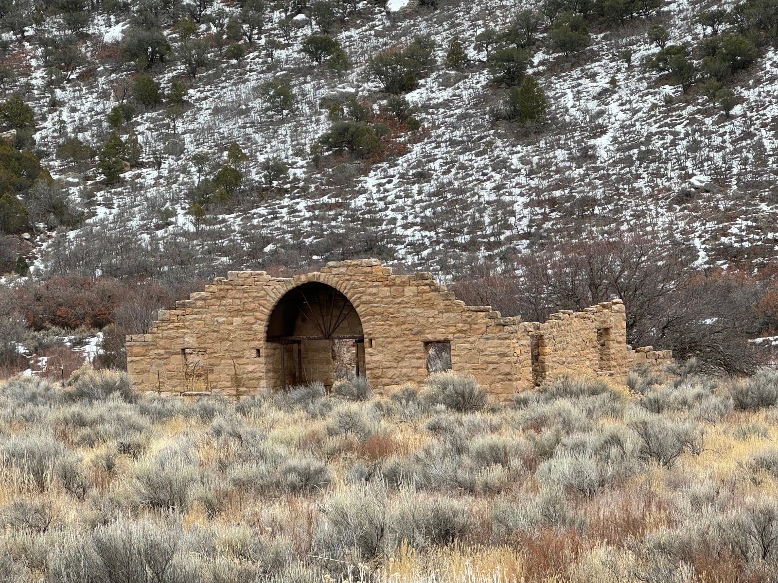
Rattlesnake Canyon Arches - Image 1
1 / 3

Rattlesnake Arches

4.7
·25 reviews·, United States

Discover Colorado's hidden gem: Rattlesnake Arches, boasting the nation's second-highest concentration of natural arches. An adventurer's paradise.

Highlights

Must-see attractions

Social content

Social

From TikTok & Reddit

Best Time

May

Wildflowers & perfect weather

CrowdMedium
Loading map...
Rattlesnake Canyon Arches - Image 1

Rattlesnake Arches

Best Time

May

Wildflowers & perfect weather

CrowdMedium

Highlights

Must-see attractions

Discover Colorado's hidden gem: Rattlesnake Arches, boasting the nation's second-highest concentration of natural arches. An adventurer's paradise.

4.7
(25 reviews)

"It's worth it. We went in November when it is cooler."

Vertical photo
TIP

🚗 High Clearance Vehicle Needed

Don't attempt the final miles without a 4WD, high-clearance vehicle.

🗺️ Download Offline Maps

Route finding can be tricky; use Gaia GPS or COTREX.

Third hero image

Highlights

Discover the most iconic attractions and experiences

The Grand Arch

The Grand Arch

Main trail

The largest and most iconic arch, offering breathtaking views and a unique perspective from above.

TikTok
Arch Alley

Arch Alley

Upper trail

A concentration of numerous smaller arches, creating a stunning natural gallery.

Reddit
Petrified Sand Dunes

Petrified Sand Dunes

Trailside

Explore the colorful, layered rock formations and ancient sand dunes that tell a geological story.

Reddit
Your AI travel agent

Plans like a pro.
Thinks like you

Start Chatting

Planning Your Visit

High Clearance Vehicle is Key

The road to the Rattlesnake Arches trailhead is notoriously rough. Most reviewers emphasize needing a high-clearance 4WD vehicle, like a truck or Jeep, to navigate the last few miles. Trying with a standard SUV or car can lead to getting lost or being unable to reach the trailhead. Reddit+1

Plan Your Route & Pack Smart

Rattlesnake Arches offers multiple trail options, from shorter hikes to a 15-mile out-and-back. Some routes involve scrambling and route-finding, so having a GPS app like Gaia GPS or COTREX is recommended. Bring plenty of water, snacks, and sun protection, as shade is minimal and there's no water on the trail. Reddit+1

Best Times

When
May
Why
Wildflowers & perfect weather
Crowd
Medium
When
November
Why
Cooler temps, fewer crowds
Crowd
Low

Insider Tips

from TikTok, Instagram & Reddit

Rattlesnake Arches in @visitgrandjunction @visitcolorado let’s go see some arches!! #adrenalinedriven #adrenalinedrivenadventure #booknow #grandjunction #outside
adrenaline.driven.adventures
15 likes • 289 views

🚗 High Clearance Vehicle Needed

Don't attempt the final miles without a 4WD, high-clearance vehicle. Reddit+1

🗺️ Download Offline Maps

Route finding can be tricky; use Gaia GPS or COTREX. Reddit

If you’re craving a mix of stunning landscapes and a bit of solitude, Rattlesnake Arches right by Fruita, Colorado, might just be the perfect destination for you. Nestled within the McInnis Canyons National Conservation Area, this hidden gem boasts one of the largest concentrations of natural arches outside of Utah’s famous Arches National Park. These sandstone formations have been sculpted over ...
gofruita
196 likes • 2.5K views
Rattlesnake Arches is known for having the second most concentration of arches in the country. And these beauties are in the town I live! So beautiful! #visitgrandjunction #rattlesnakearches #grandjunctioncolorado #westernslope #hikingaddict #desertlife #thingofbeauty #westernslopelife #fruita #getoutside #arches #redrock
the_blonde_redhead_hiker
17 likes • 604 views

💧 Pack Ample Water & Snacks

Minimal shade and no water sources on the trail. Reddit

🥾 Wear Sturdy Hiking Boots

Some scrambling and uneven terrain expected. Reddit

📍Rattlesnake Arches backpacking trip report check out my blog post [link in bio] for the full details on this route. #backpacking #backpackingcolorado #backpackingadventures #vlog #tripreport #trailreview #fruitacolorado #rattlesnakearches #coloradohiking #hikingblog #blogger #hikecolorado
comountainpack
119 likes • 1.3K views

Tips

from all over the internet

🚗 High Clearance Vehicle Needed

Don't attempt the final miles without a 4WD, high-clearance vehicle. Reddit+1

🗺️ Download Offline Maps

Route finding can be tricky; use Gaia GPS or COTREX. Reddit

💧 Pack Ample Water & Snacks

Minimal shade and no water sources on the trail. Reddit

🥾 Wear Sturdy Hiking Boots

Some scrambling and uneven terrain expected. Reddit

📸 Capture the Arches

Bring your camera for stunning desert landscapes and unique rock formations. Instagram

What Travellers Say

4.7
(25 reviews)

Reviews Summary

Visitors rave about the incredible landscape and the sheer number of arches at Rattlesnake Arches, calling it a must-do bucket list item. However, many highlight the challenging road access, emphasizing the need for a high-clearance 4WD vehicle. Some also note the potential for route-finding and the lack of shade and water, advising thorough preparation.

"Incredible landscape, just kind of a rough trip. We first tried to hike in from the CO river, (14 miles RT) but ran out of daylight. Then made the drive and yes, the last 2 miles you need high clearance. It’s worth it. We went in November when I is cooler."

Lee Kleinman

"Great hike! Took the lower trail around. Amazing series of arches! The colors of petrified sand dunes and layered cliff walls were breathtaking! After we hiked to the end of the trail, we hiked thru the arch to reach the upper trail."

Lennie t

"We missed the parking lot. Google reroute us to private road, keep reroute us to other private road. As we were given up on the way out, we saw a big sign said “Parking”. went in to find out it is Rattlesnake Arch trail.

The road to the TH was the worst. Small and midsize SUV can’t make it. Only very high clearance, 4WD truck, jeep or SUV make it. We chose upper trail, if you stay on the middle trail, you probably missed out the arches. We kind of stay on the left side. Wow, discovered arches after arches. So many. I count, we saw 8 arches on the left side. We didn’t have time to explore the other side, due to lost of day light. Didn’t want to drive out in dark.

Benefit of upper trail is that We get to walk on top of the arches. Only encountered a small group of people and a man kind of lost. Next time I would explore lower trail. I was told on the right side, there is a very steep scary slope to get up and down between the upper and lower trail

One star off due to the horrible road"

KH C

What People Like

Abundant natural arches
Breathtaking desert landscapes
Unique geological formations

What People Dislike

Rough road access
Lack of shade/water
Route finding challenges

Frequently Asked Questions

🚇 🗺️ Getting There

The most critical factor is having a high-clearance 4WD vehicle for the last 2 miles of the road from Glade Park. Standard SUVs or cars will likely not make it. Some visitors have reported being rerouted to private roads, so ensure you have reliable navigation. Reddit+1

No, the road to the upper trailhead is very rough and requires a vehicle with significant ground clearance and 4WD capability. Smaller SUVs and cars are not recommended. Reddit

Directions can be tricky. From Glade Park, follow signs for Rattlesnake Arches or Pollock Bench. Using a GPS app with offline maps is highly advised, as cell service can be spotty. Reddit

Yes, but this is a much longer 14-mile round trip hike and may require a high-clearance vehicle to reach the starting point. Reddit

Currently, there are no public shuttle services to the Rattlesnake Arches trailhead. Visitors must provide their own transportation. TikTok

🎫 🎫 Tickets & Entry

No, there is no fee to enter the McInnis Canyons National Conservation Area or to hike the Rattlesnake Arches trail. Instagram

Permits are not required for day hiking or overnight backpacking at Rattlesnake Arches. Instagram

Rattlesnake Arches is open year-round during daylight hours. However, access can be limited by weather conditions, especially snow in winter. TikTok

Backcountry camping is permitted in designated areas within the McInnis Canyons National Conservation Area, but specific regulations should be checked beforehand. Instagram

No reservations are needed for accessing the Rattlesnake Arches trail. It's first-come, first-served. Instagram

🎫 🥾 Onsite Experience

The difficulty varies by route. Shorter hikes from the upper trailhead are moderate, while longer routes or those involving scrambling can be considered difficult. Elevation gain can be significant. InstagramReddit

Hikes can range from a 2.5-5 mile round trip from the upper trailhead to a 15-mile out-and-back from Pollock Bench. Some visitors create loops. InstagramReddit

Sturdy hiking boots are recommended due to the rocky terrain and potential for scrambling. Dress in layers, as desert temperatures can fluctuate. Reddit

Shade is very minimal on the Rattlesnake Arches trail. It's crucial to bring sun protection like hats, sunscreen, and sunglasses. Reddit

Trail running is possible, especially on the upper trails, though some sections are challenging. Biking is generally not recommended on the narrow, rocky trails. Instagram

📸 📸 Photography

Early morning and late afternoon offer the best light for photography, with softer shadows and warmer colors. Midday sun can be harsh. Instagram

A wide-angle lens is great for capturing the scale of the arches and the expansive desert landscapes. A tripod can be useful for low-light conditions or long exposures. Instagram

The tops of the arches offer unique perspectives, and the 'Arch Alley' area provides numerous compositions. The Grand Arch is a must-capture. InstagramReddit

Drone usage is subject to Bureau of Land Management (BLM) regulations. Check current rules for McInnis Canyons National Conservation Area before flying. TikTok

The sheer number of arches, the colorful petrified sand dunes, and the vast desert vistas provide endless photographic opportunities. InstagramReddit

For Different Travelers

Tailored advice for your travel style

👨‍👩‍👧 Families with Kids

Rattlesnake Arches can be a fantastic adventure for families, but requires careful planning. The shorter hikes from the upper trailhead are more manageable for children, offering a chance to see impressive arches without an overly strenuous trek. Ensure you have a high-clearance vehicle to reach this trailhead. InstagramReddit

Pack plenty of water, snacks, and sun protection, as shade is scarce. Consider bringing a carrier for younger children if attempting longer routes. The unique geological formations and the thrill of exploring natural arches can be very engaging for kids. Always supervise children closely, especially near drop-offs or on scrambling sections. Reddit

🚗 Off-Road Enthusiasts & Adventurers

For those with 4WD vehicles, the drive to the Rattlesnake Arches upper trailhead is an adventure in itself. The rough, rocky road tests your vehicle's capabilities and adds to the remote feel of the destination. InstagramReddit

Once at the trailhead, the hiking options cater to various fitness levels. Trail runners can enjoy challenging routes, while hikers can explore the extensive network of trails, including opportunities for scrambling and route-finding. The sheer number of arches and the rugged desert landscape provide a rewarding experience for adventurers. InstagramReddit

📸 Photographers

Rattlesnake Arches is a photographer's dream, offering a plethora of unique subjects. The dramatic arches, colorful sandstone formations, and expansive desert vistas provide endless opportunities for stunning shots. InstagramReddit

Aim for golden hour (early morning or late afternoon) for the most dramatic lighting. Wide-angle lenses are ideal for capturing the scale of the arches and the surrounding landscape. Don't forget to experiment with different angles and compositions, perhaps even venturing onto some of the less-trafficked paths for a more secluded shot. Instagram

Deep Dives

In-depth insights and expert knowledge

Navigating the Rattlesnake Arches Trail System

Rattlesnake Arches is not a single, well-marked path but rather a network of trails within the McInnis Canyons National Conservation Area. Visitors can access the arches from different trailheads, most commonly the Rattlesnake Arches Upper Trailhead or Pollock Bench. The upper trailhead offers shorter, more accessible routes to several arches, including the impressive Grand Arch. However, reaching this trailhead requires navigating a rough, unpaved road that necessitates a high-clearance 4WD vehicle. Reddit+1

For those seeking a more extensive adventure, the Pollock Bench trailhead provides access to longer, more challenging routes, including a 15-mile out-and-back option. Some reviewers suggest combining upper and lower trails to experience a wider variety of arches, though this may involve steep sections and scrambling. It's highly recommended to download offline maps from apps like Gaia GPS or COTREX, as cell service is unreliable in the area. InstagramReddit

Be prepared for varied terrain, which can include sandy washes, slickrock, and rocky ascents. While some arches are easily visible from the main paths, exploring further can reveal hidden gems. Always be mindful of your surroundings and the potential for route-finding challenges. Reddit+1

The Geological Marvel of Rattlesnake Arches

Rattlesnake Arches boasts the second-highest concentration of natural rock arches in the United States, surpassed only by Utah's Arches National Park. These formations are a testament to millions of years of geological processes, primarily erosion acting upon ancient sandstone. The vibrant colors of the rock, including reds, oranges, and purples, are due to mineral deposits within the sandstone layers. InstagramReddit

The arches are formed when softer sandstone erodes faster than harder caprock, creating openings that gradually enlarge over time. The petrified sand dunes visible along the trails are remnants of ancient desert environments, offering a glimpse into the region's prehistoric past. These layered formations tell a story of shifting landscapes and the powerful forces of nature. Reddit

Many of the arches are accessible by foot, allowing visitors to walk through or even on top of some formations. This direct interaction with the geology provides a unique and memorable experience, highlighting the fragility and beauty of these natural wonders. Instagram

You may also like