Santa Ana River Trail Redlands
A sprawling natural corridor offering a peaceful escape for cyclists, runners, and walkers along the Santa Ana River.
Highlights
Must-see attractions

Social
From TikTok & Reddit
Best Time
Fewer crowds, pleasant temperatures
Santa Ana River Trail Redlands
Best Time
Fewer crowds, pleasant temperatures
Highlights
Must-see attractions
A sprawling natural corridor offering a peaceful escape for cyclists, runners, and walkers along the Santa Ana River.

🗺️ Download Trail Maps
Trail maps can be scarce; download offline maps before you go to avoid getting lost.
🚴♀️ Cycling is Popular
Many cyclists use this trail for long rides; be aware of faster-moving bikes.

Quick Facts
Highlights
Discover the most iconic attractions and experiences

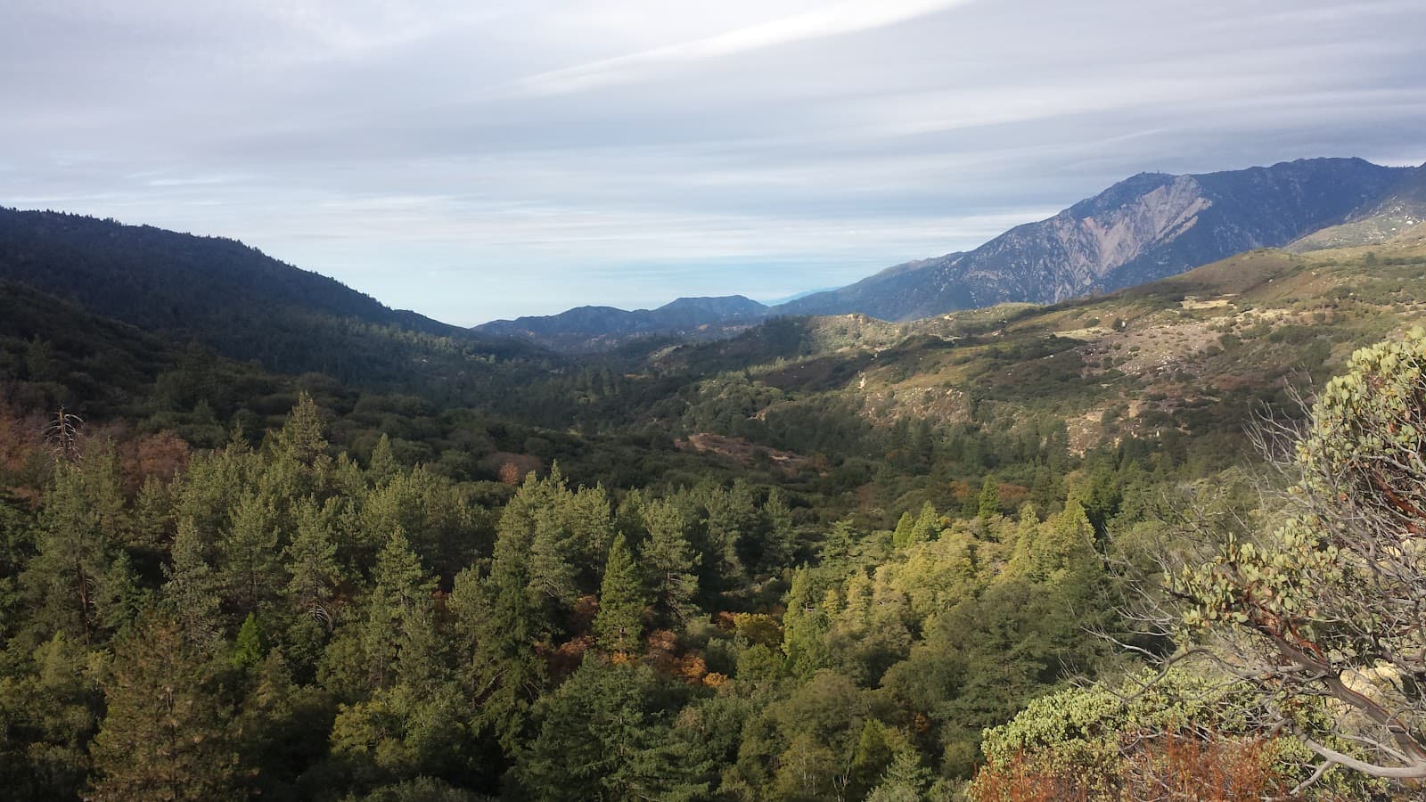
Scenic Riverbed Path
Various access points in Redlands
Enjoy a peaceful journey along the Santa Ana River, a refreshing escape into nature.
Extensive Cycling Route
Connecting Redlands to surrounding areas
A long-distance trail perfect for dedicated cyclists seeking a challenging and scenic ride.
Nature and Wildlife Spotting
Along the riverbanks
Observe local flora and fauna in this natural corridor, offering a tranquil outdoor experience.
Plans like a pro.
Thinks like you
Planning Your Visit
Trail Access & Safety
Trail Conditions & Navigation
Best Times
Insider Tips
from TikTok, Instagram & Reddit
🗺️ Download Trail Maps
Trail maps can be scarce; download offline maps before you go to avoid getting lost.
🚴♀️ Cycling is Popular
Many cyclists use this trail for long rides; be aware of faster-moving bikes.
👟 Wear Comfortable Shoes
The trail surface varies, so sturdy footwear is essential for walking or running.
💧 Stay Hydrated
Bring plenty of water, especially on longer excursions, as amenities are limited.
Santa Ana River Trail maps
I was looking for info here, but there was only dated maps. I see it goes all the way into San Bernardino National Forest. Does anyone know if the areas from Jurupa into down town San Bernardino are safe? It is so much closer than driving out to Green River on the 91 disaster.…
Tips
from all over the internet
🗺️ Download Trail Maps
Trail maps can be scarce; download offline maps before you go to avoid getting lost.
🚴♀️ Cycling is Popular
Many cyclists use this trail for long rides; be aware of faster-moving bikes.
👟 Wear Comfortable Shoes
The trail surface varies, so sturdy footwear is essential for walking or running.
💧 Stay Hydrated
Bring plenty of water, especially on longer excursions, as amenities are limited.
What Travellers Say
Reviews Summary
The Santa Ana River Trail in Redlands is appreciated for its natural beauty and extensive length, offering a peaceful escape for walkers and cyclists. However, some users note that navigation can be tricky and express concerns about safety in less populated eastern sections. Planning ahead with maps is highly recommended.
What People Like
What People Dislike
Frequently Asked Questions
🚇 🗺️ Getting There
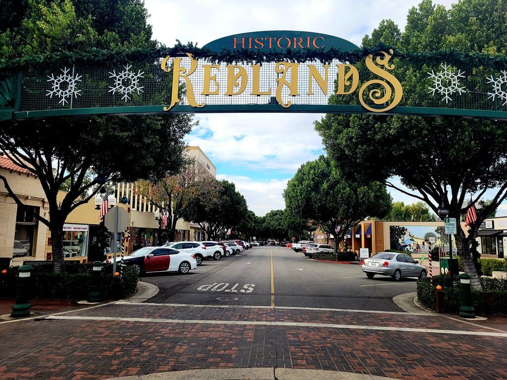
Access points are scattered throughout Redlands. Some popular starting points are near local parks or designated trailheads. It's advisable to research specific entry points based on your intended activity.
Parking availability varies by access point. Some trailheads have dedicated lots, while others may require street parking. Check local park information for specific details.
Public transport options might be limited directly to trail access points. It's best to check local bus routes and schedules for connections to areas near the trail.
While many enjoy the trail, some Reddit users have expressed concerns about safety in certain sections, particularly further into San Bernardino. It's recommended to be aware of your surroundings and consider going with a companion.
Yes, the Santa Ana River Trail is a long, continuous path that connects to various other trails and recreational areas, extending for many miles.
🎫 🎫 Tickets & Entry
Generally, the Santa Ana River Trail is a public access path and does not have an entrance fee. However, parking at some trailheads might be subject to park fees.
The trail is typically open from dawn to dusk. Specific access points might have park hours that dictate entry and exit times.
For general recreational use like walking, running, or cycling, no permit is usually required. However, specific activities like organized events might need permits.
Leash laws typically apply to dogs on public trails. Always check local regulations for specific rules regarding pets.
Absolutely! The Santa Ana River Trail is a very popular route for cyclists of all levels, from casual riders to serious training.
🎫 🧭 Onsite Experience
The trail is mostly paved or a well-maintained dirt path, making it suitable for various activities. However, some sections can be uneven or sandy.
Restroom facilities are not consistently available along the entire trail. It's best to use facilities at your starting point or plan accordingly.
You'll experience a mix of natural riverbed landscapes, urban views, and some green spaces. It's a great way to connect with nature within the urban environment.
The paved sections are generally good for families. However, be mindful of cyclists and the length of the trail. Shorter, accessible segments are ideal for younger children.
Early mornings and late afternoons offer the best natural light for photography, creating beautiful golden hour shots along the river.
🍽️ 🍽️ Food & Dining
Dining options directly on the trail are very limited. It's recommended to pack your own snacks and water or plan to eat before or after your visit in Redlands.
While there aren't designated picnic areas, you can find spots to enjoy a packed meal. Be sure to pack out all trash to keep the trail clean.
📸 📸 Photography
Look for scenic river views, interesting bridge structures, and the interplay of light and shadow on the water and surrounding vegetation.
The 'golden hours' around sunrise and sunset provide the most flattering light for landscape and nature photography.


Social
from TikTok, Instagram & Reddit