
Iron Horse Regional Trail
A 32-mile paved trail through East Bay communities, perfect for biking, walking, and enjoying scenic suburban landscapes.
Highlights
Must-see attractions

Social
From TikTok & Reddit
Best Time
Pleasant temperatures, fewer crowds
Iron Horse Regional Trail
Best Time
Pleasant temperatures, fewer crowds
Highlights
Must-see attractions
A 32-mile paved trail through East Bay communities, perfect for biking, walking, and enjoying scenic suburban landscapes.
Stay Hydrated! 💧
Crucial advice: carry plenty of water to avoid heatstroke and dehydration, especially on hot days.
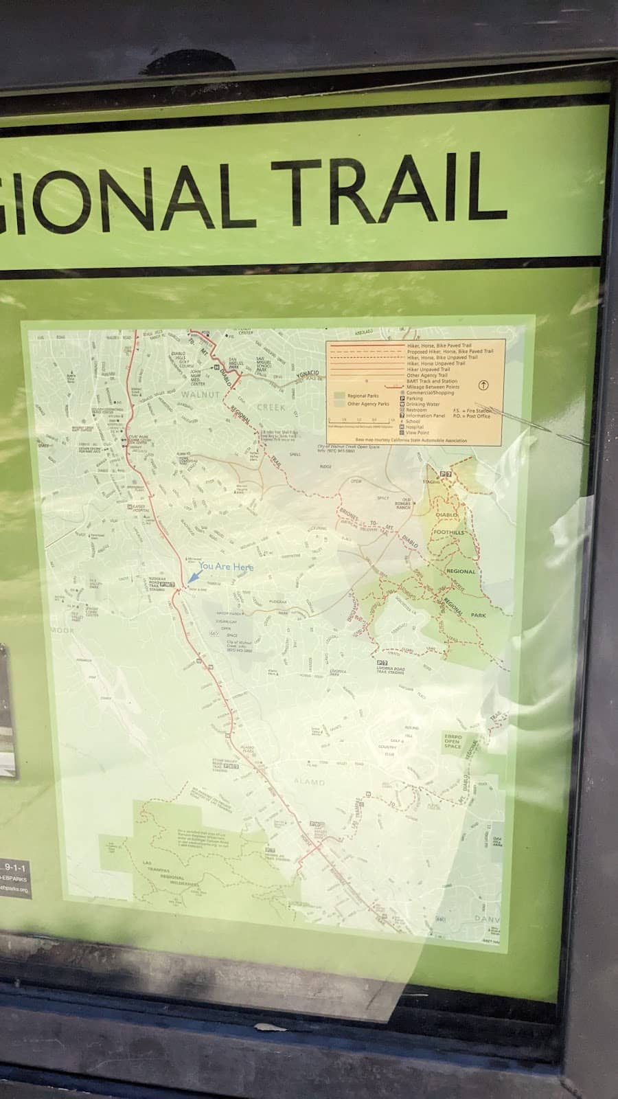
Check the Map First 🗺️
Use the Iron Horse Regional Trail map to plan your route and identify staging areas.
Quick Facts
Highlights
Discover the most iconic attractions and experiences
Paved Path Through Suburbia
Entire length of the trail
Enjoy a smooth, paved surface perfect for biking, walking, and rollerblading through scenic East Bay communities.
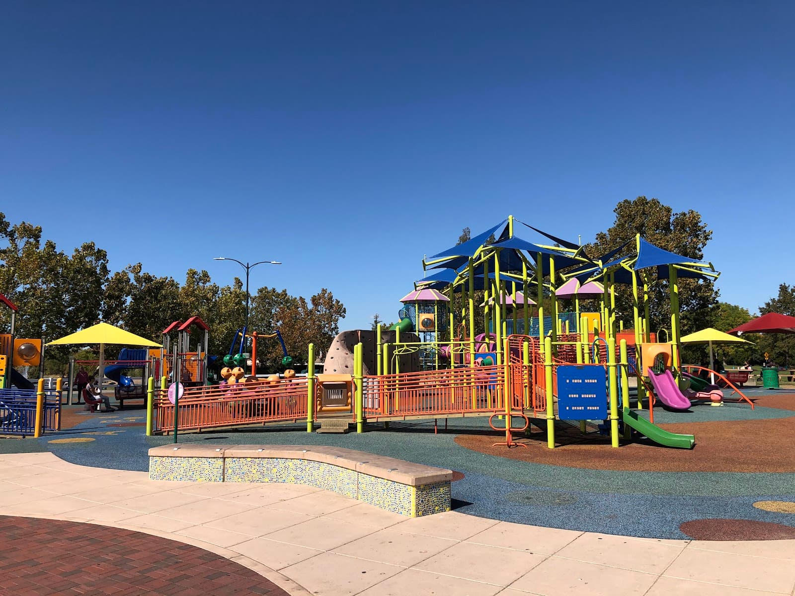
Connecting Parks and Trails
Various points along the trail
Access numerous local parks and connect to other trail systems for extended adventures.
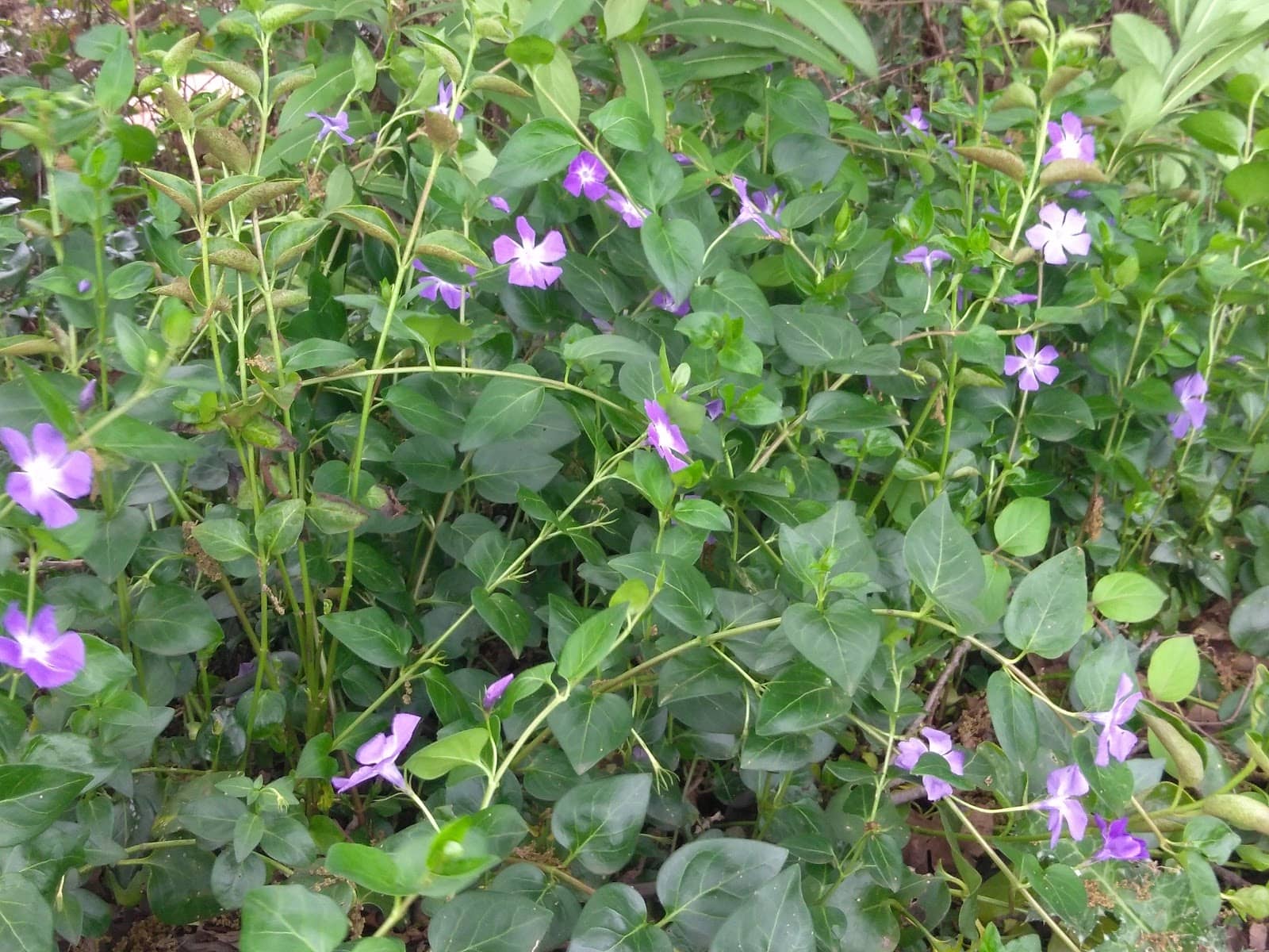
Wildlife Sightings
Areas with natural vegetation
Keep an eye out for local birds and small wildlife in the more natural sections of the trail.
Plans like a pro.
Thinks like you
Planning Your Visit
Trail Safety & Conditions
Planning Your Ride
Best Times
Insider Tips
from TikTok, Instagram & Reddit
How safe is the Iron Horse Trail?
I am a single woman bicyclist and want to ride the Iron Horse Trail. How safe is it? And is there anything I should know about it to help plan my ride?
Stay Hydrated! 💧
Crucial advice: carry plenty of water to avoid heatstroke and dehydration, especially on hot days.
Check the Map First 🗺️
Use the Iron Horse Regional Trail map to plan your route and identify staging areas.
Any recommendations for trails to do some outdoor running. And if they are any groups to get together and do some running. Thanks
Any recommendations for trails to do some outdoor run and if there are any groups they get together during weekends will be awesome
Nearby town with 20+ miles of multi-use trails
Hello, wife and I are looking to spend a long weekend in a town within 2 hours of SF. We want to do some riding with our 2 year old in tow in a trailer behind me (I bike maybe 50-60 miles a week). Looking for trails that are totally separated from cars for my kid’s safety (think…
Sun Protection is Key ☀️
Wear sunscreen, a hat, and sunglasses. The trail is exposed in many areas.
Bike or Walk Safely 🚴♀️
The trail is generally safe, but be aware of your surroundings and other users.
Can you ride an Electric Scooter on the Iron Horse Trail?
I have read that now on the Iron Horse Trail allows the use of Class 1 & 2 electric bicycles. However, do they allow the use of electric scooters in the trail. My logic tells me that they might allow it since California Law allows the use of Electric Scooters on bike…
Tips
from all over the internet
Stay Hydrated! 💧
Crucial advice: carry plenty of water to avoid heatstroke and dehydration, especially on hot days.
Check the Map First 🗺️
Use the Iron Horse Regional Trail map to plan your route and identify staging areas.
Sun Protection is Key ☀️
Wear sunscreen, a hat, and sunglasses. The trail is exposed in many areas.
Bike or Walk Safely 🚴♀️
The trail is generally safe, but be aware of your surroundings and other users.
What Travellers Say
Reviews Summary
The Iron Horse Regional Trail is praised for its smooth, paved surface and accessibility, making it a great spot for biking and walking through pleasant suburban landscapes. While generally safe, visitors are advised to be prepared for heat and carry ample water. Some users note that it can get crowded during peak times.
What People Like
What People Dislike
Frequently Asked Questions
🚇 🗺️ Getting There
The Iron Horse Regional Trail has multiple access points and staging areas throughout its length. Popular starting points include the Iron Horse Trail Staging Area in Concord and various points in Walnut Creek and San Ramon. You can find detailed access information on the official trail maps.
Yes, several staging areas offer parking, such as the Iron Horse Trail Staging Area. It's advisable to arrive early, especially on weekends, as parking can fill up.
Some sections of the trail are accessible via BART (Bay Area Rapid Transit), which can be a convenient option for those coming from further away. Check BART schedules and station proximity to trail access points.
Using an Iron Horse Regional Trail map is highly recommended. You can find digital versions online or pick up a physical copy at local parks and recreation offices. This will help you understand the trail's layout and identify key points of interest.
Restroom facilities are available at some of the larger staging areas and parks along the trail. It's a good idea to check the trail map for locations before you set out, especially for longer rides.
🎫 🎫 Tickets & Entry
No, the Iron Horse Regional Trail is a public park and does not require an entrance fee for access. You can enjoy the trail for free.
The Iron Horse Regional Trail is generally open from sunrise to sunset. However, specific hours may vary slightly depending on the park district managing the section you are visiting. Always check local park information if you plan to visit very early or late.
No permit is required for recreational biking, walking, or running on the Iron Horse Regional Trail. Standard trail etiquette applies to all users.
For organized group events or large gatherings, you may need to contact the East Bay Regional Park District to inquire about permits or reservations. Smaller informal groups typically do not require special permission.
Dogs are generally allowed on the Iron Horse Regional Trail but must be kept on a leash at all times. Please be considerate of other trail users and clean up after your pet.
🎫 🚶 Onsite Experience
The Iron Horse Regional Trail features a paved asphalt surface for most of its length, making it ideal for cycling, rollerblading, and smooth walking.
The Iron Horse Regional Trail spans approximately 32 miles, stretching from Concord in the north to Livermore in the south.
Yes, the paved and relatively flat surface makes it suitable for families. However, it's important to supervise children closely, especially near road crossings and in areas with faster cyclists.
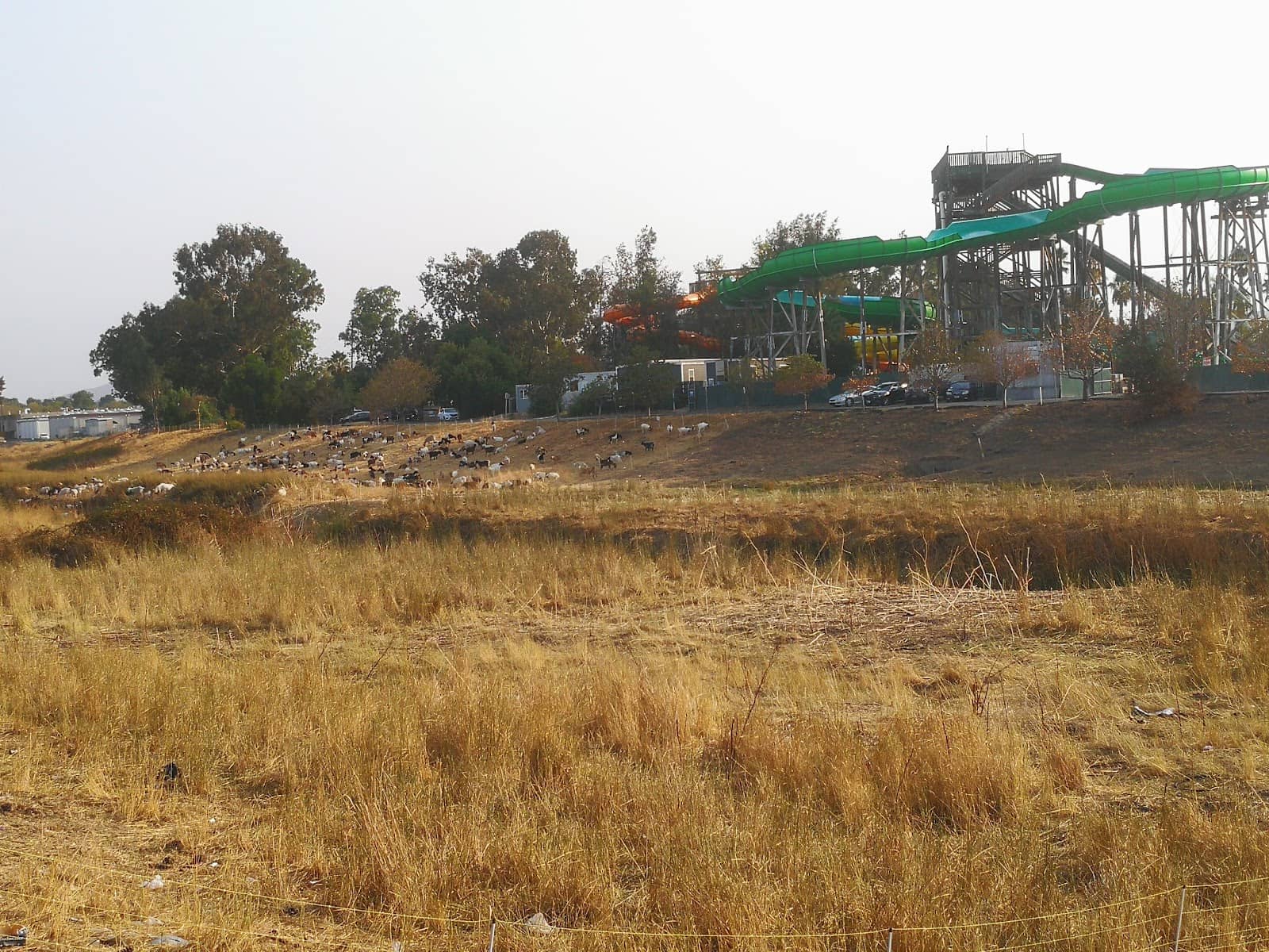
You'll experience a mix of suburban landscapes, urban areas, and some more natural, open spaces. It's a great way to see the diverse communities of the East Bay.
The trail passes through generally safe suburban areas, and solo female riders have reported feeling secure. However, as with any trail, it's wise to be aware of your surroundings and avoid riding alone very late at night.
📸 📸 Photography
Look for scenic overlooks, bridges, and areas where the trail passes through more natural vegetation. The transition points between different landscapes can also offer interesting photographic opportunities.
If you're cycling, it's best to pull over at designated spots or safe pull-offs to take photos. This ensures your safety and allows for better composition.
Early morning and late afternoon offer the best light for photography, with softer shadows and warmer tones. Midday sun can be harsh.
While not a single iconic landmark, the various bridges and the long, straight stretches of the paved trail offer classic cycling photography shots.
Drone usage is typically restricted in public parks and trails managed by the East Bay Regional Park District. It's best to check their specific regulations before attempting to fly a drone.


Social
from TikTok, Instagram & Reddit