
MacCabe Corner Tri-State Marker
A unique geographical point where three states converge, accessible via a challenging hike or 4WD track. Prepare for nature!
Highlights
Must-see attractions

Social
From TikTok & Reddit
Best Time
Easier track access & fewer flies
MacCabe Corner Tri-State Marker
Best Time
Easier track access & fewer flies
Highlights
Must-see attractions
A unique geographical point where three states converge, accessible via a challenging hike or 4WD track. Prepare for nature!
"It's a decent hike and we saw some snakes and goannas. 6/5 stars!"

4WD Recommended
Track can be rough, especially when wet. 4WD is advised for the final stretch to the trailhead.
Prepare for Flies
Lots of flies reported! Bring strong repellent or visit in cooler months.
Quick Facts
Hours
Rating
4.1 · 33 reviews
Type
Historical Landmark
Address
Highlights
Discover the most iconic attractions and experiences
Tri-State Marker
Stand at the unique point where three states converge. A true geographical curiosity for the adventurous.
The Trek In
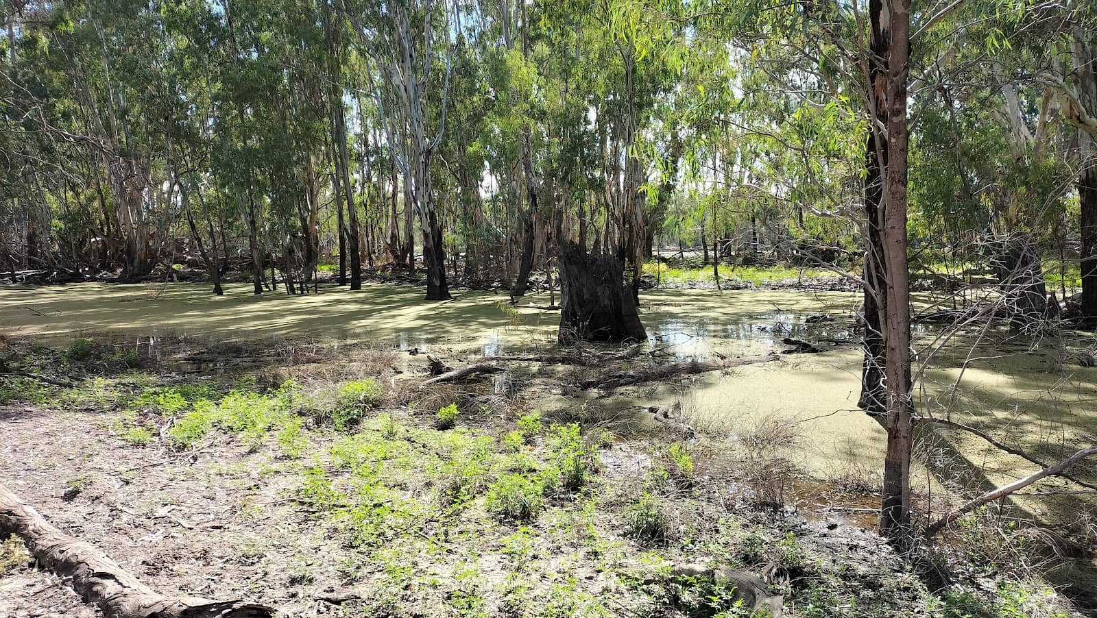
A rewarding 6km round trip hike through natural bushland, offering a chance to spot local wildlife.

Wildlife Spotting
Keep an eye out for snakes and goannas along the trail – a bonus for nature lovers.
Plans like a pro.
Thinks like you
Planning Your Visit
Access & Conditions
Bug Alert!
Best Times
Insider Tips
from TikTok, Instagram & Reddit
4WD Recommended
Track can be rough, especially when wet. 4WD is advised for the final stretch to the trailhead.
Prepare for Flies
Lots of flies reported! Bring strong repellent or visit in cooler months.
Overgrown Path
Expect fallen trees and overgrown sections on the 6km return walk.
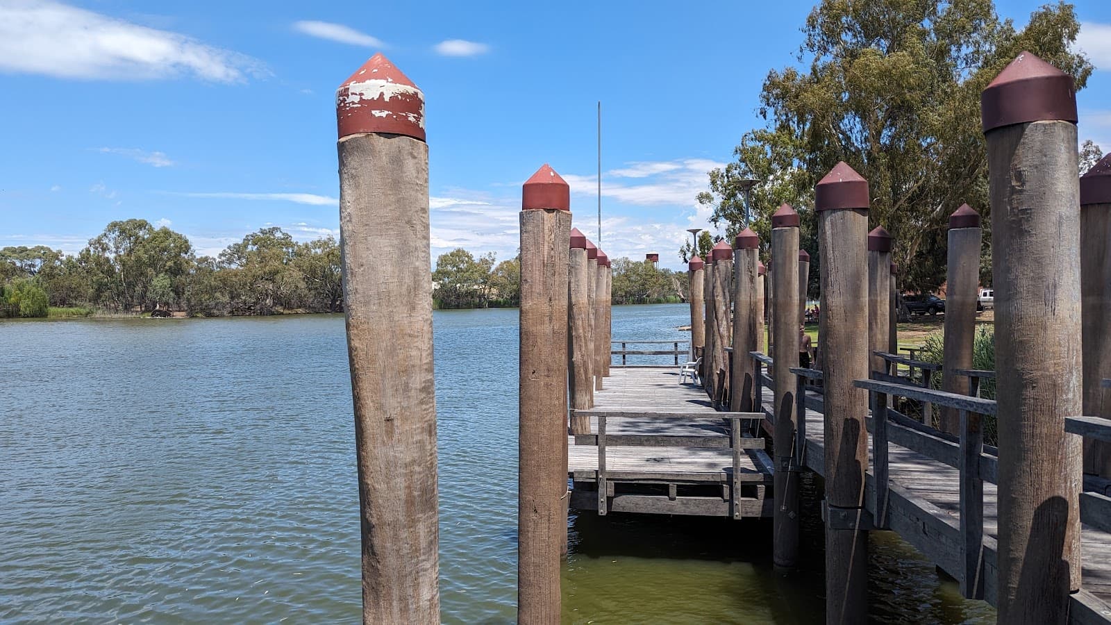
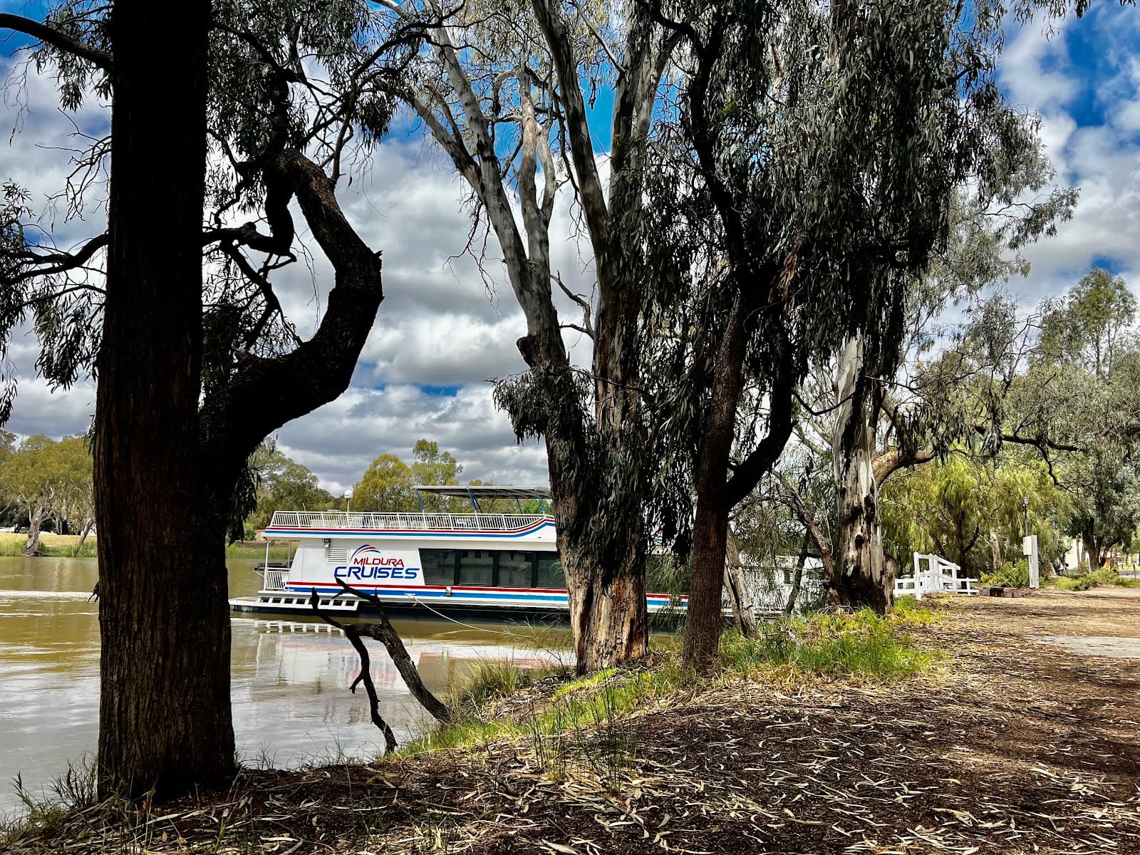
Boat Access Option
Consider boat access for an alternative way to reach the marker.
Tips
from all over the internet
4WD Recommended
Track can be rough, especially when wet. 4WD is advised for the final stretch to the trailhead.
Prepare for Flies
Lots of flies reported! Bring strong repellent or visit in cooler months.
Overgrown Path
Expect fallen trees and overgrown sections on the 6km return walk.
Boat Access Option
Consider boat access for an alternative way to reach the marker.
Check Conditions
Track closed due to flood damage. Always check before you travel.
What Travellers Say
Reviews Summary
MacCabe Corner Tri-State Marker offers a unique geographical experience, but access can be challenging. Visitors note the need for 4WD, the potential for overgrown trails, and a significant fly problem. Despite these hurdles, the hike and the novelty of the location are often considered worth the effort by those seeking an off-the-beaten-path adventure.
"Track is currently closed due to Flood and storm damage.
Will need to revisit another time."
Tako
"To get here you need to park your vehicle where maps says "Trailhead to MacCabe Corner". The track that leads to it after Kempe Rd is okay for 2wd when it's dry, but watch out for ruts and holes. Probably need a 4wd if its muddy. Then it is a 6km return walk from there to the marker here. Best to come during the dry season as you will have to traverse the last 100m over fallen trees and branches, the main path has been overgrown."
Aryanto Rithuan
"It's not easy to get inside.
If you have a boat or willing walk to there for 30-40mins with looooots of flies whole road.
I love hiking and adventure, but i hate the flies."
Ting Chang
What People Like
What People Dislike
Frequently Asked Questions
🚇 🗺️ Getting There
Access is via a track off Kempe Road. The road is manageable for 2WD when dry, but ruts and holes are present. A 4WD is recommended, especially if it's muddy. The final 100m may require navigating fallen trees and branches.
Yes, maps indicate a 'Trailhead to MacCabe Corner' where you can park your vehicle.
Boat access is mentioned as an alternative to walking the entire distance.
It's approximately a 6km round trip walk from the trailhead.
No, the track has been closed due to flood and storm damage. It's crucial to check current conditions before planning your visit.
🎫 🎫 Tickets & Entry
There's no mention of tickets or entry fees for MacCabe Corner Tri-State Marker itself. However, it's located within a National Park, so park entry fees might apply.
As it's a natural landmark, there are no official opening hours. However, access can be restricted due to track conditions, especially after severe weather.
No booking is required for visiting the marker itself. However, if you plan to use any specific facilities or tours, it's always best to check in advance.
While no specific permits are mentioned for the marker, it's advisable to check with the local National Parks authority for any general permits required for hiking or accessing the area.
If the track is closed due to damage, you will need to postpone your visit until repairs are made and the area is reopened.
🎫 🧭 Onsite Experience
The main attraction is the Tri-State Marker itself, a unique geographical point where three states meet. The journey there involves a hike through natural bushland.
The 6km round trip hike can be challenging due to overgrown paths, fallen trees, and potentially muddy conditions. It's considered a decent hike by visitors.
Visitors have reported seeing snakes and goannas along the trail.
No specific facilities are mentioned at the marker itself. It's a remote natural landmark, so come prepared.
Allow at least 2-3 hours for the 6km walk and time to appreciate the marker. Factor in travel time to the trailhead as well.
🎫 🦟 Pests & Protection
Yes, many visitors complain about swarms of flies, especially on the walk to the marker.
Bringing strong insect repellent is highly recommended. Visiting during cooler, drier periods might also help reduce their numbers.
Snakes have been spotted, so it's wise to be aware of your surroundings and avoid disturbing wildlife.
While many hike alone, it's always recommended to inform someone of your plans and expected return time, especially in remote areas. Be aware of wildlife.
Wear sturdy hiking shoes, long pants, and a long-sleeved shirt to protect against insects and scratches from vegetation.


Social
from TikTok, Instagram & Reddit