
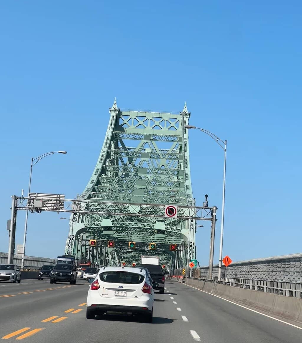
Jacques Cartier Bridge
An iconic steel cantilever truss bridge, famous for its dazzling nighttime light show and panoramic city views.
Highlights
Must-see attractions

Social
From TikTok & Reddit
Best Time
Spectacular fireworks views
Jacques Cartier Bridge
Best Time
Spectacular fireworks views
Highlights
Must-see attractions
An iconic steel cantilever truss bridge, famous for its dazzling nighttime light show and panoramic city views.
"A defining landmark offering stunning vistas and a unique illuminated spectacle."
📸 Capture the Lights
Don't miss the bridge's dynamic LED light show after dark – it's a truly magical sight!
🚶♀️ Walk or Bike for Views
The pedestrian/bike path offers the best vantage points for photos and enjoying the scenery.
Quick Facts
Hours
Rating
4.5 · 1,769 reviews
Highlights
Discover the most iconic attractions and experiences
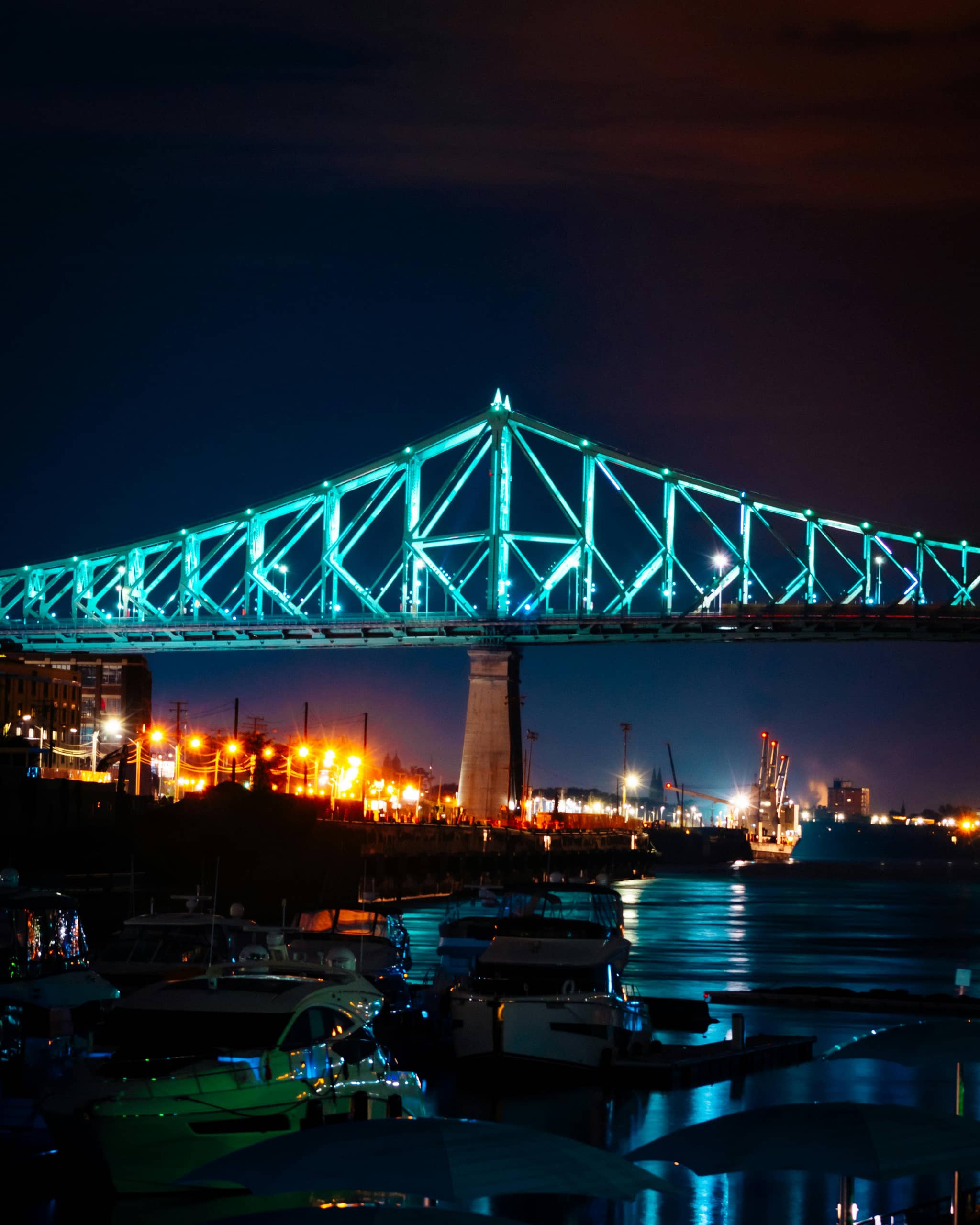
Living Connections Illumination
Entire bridge structure
Experience the bridge come alive at night with over 2,800 LEDs that change color based on city data.
Panoramic City Vistas
Pedestrian and cycling path
Enjoy breathtaking views of Montreal's skyline, Mount Royal, and the St. Lawrence River.
Art Deco Pavilions
Mid-span pavilions
Admire the charming Art Deco architecture of the pavilions, reminiscent of Parisian design.
Plans like a pro.
Thinks like you
Planning Your Visit
Timing Your Visit for Fireworks
Navigating the Multipurpose Path
Best Times
Insider Tips
from TikTok, Instagram & Reddit
How to get on Jacques Cartier Bridge from south shore
Hi, it’s my first time trying to go see the fireworks from the Jacques Cartier bridge. Anyone know how to get on the bridge from the south shore? Without taking the metro? Or if there’s any other spots in the south shore where we could get a nice view. Thank you!!!!
📸 Capture the Lights
Don't miss the bridge's dynamic LED light show after dark – it's a truly magical sight!
🚶♀️ Walk or Bike for Views
The pedestrian/bike path offers the best vantage points for photos and enjoying the scenery.
Is it safe to bike across the Jaques-Cartier bridge during the day?
I'm planning on biking across the Jacques-Cartier bridge tomorrow. Is the area at the foot of the bridge in Montreal safe? Are there nice bike lanes on the bridge? Anything I should watch out for?
Est-il possible de traverser le pont Jacques-Cartier à pieds ces jours-ci ?
Je dois traverser le pont à pieds pour les quatre prochains jours et je veux m’assurer que le pont est bien accessible pour les piétons et vélos. Et tant qu’à y être … à quelle heure il va fermer samedi pour les deux ? Merci !
🛋️ Bring a Seat for Fireworks
For summer fireworks, consider bringing a portable chair for comfort during the show.
🚗 Avoid Peak Traffic
If driving, try to cross during off-peak hours to avoid heavy congestion.
Is the Champlain or Jacques Cartier bridge better for cycling across?
My office is in the south shore and I want to do the commute by bike this summer. Which bridge is better for cycling across?
Tips
from all over the internet
📸 Capture the Lights
Don't miss the bridge's dynamic LED light show after dark – it's a truly magical sight!
🚶♀️ Walk or Bike for Views
The pedestrian/bike path offers the best vantage points for photos and enjoying the scenery.
🛋️ Bring a Seat for Fireworks
For summer fireworks, consider bringing a portable chair for comfort during the show.
🚗 Avoid Peak Traffic
If driving, try to cross during off-peak hours to avoid heavy congestion.
What Travellers Say
Reviews Summary
Visitors praise the Jacques Cartier Bridge as an iconic Montreal landmark, highlighting its stunning nighttime illumination and panoramic city views from the pedestrian path. While it's a vital transport link, its historical architecture and the unique experience of walking or cycling across it, especially during fireworks, make it a memorable attraction. Some find the walk lengthy, and during peak times, the path can get crowded with cyclists and pedestrians.
"Classic piece of montreal architecture and engineering that has stood the test of time. Besides being a crucial transport node, it's also a great lookout spot to gaze at the city below. I'm there's a bike path on it so you can use that to snap some neat pics 📸
Alaric recommends 👐 🌁"
Alaric Boyle-Poirier
"Loved the place! We went to see the fireworks and it was a great view. Lots of walking but it was worth it. There was enough space for everybody. I wish i would've brought a chair to see the fireworks more comfortably but it will be for the next time."
Victor Castillo
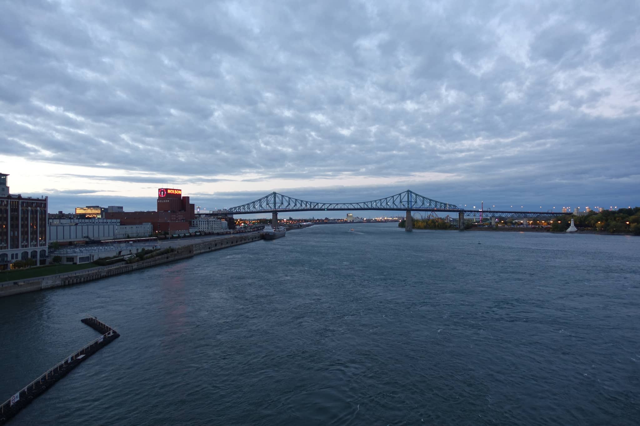
"The Jacques Cartier Bridge is a defining landmark of Montréal, spanning the St. Lawrence River to connect downtown Montréal with Longueuil, while providing access to Île Sainte‑Hélène and Parc Jean‑Drapeau 🌉.
🏗️ History & Engineering Highlights
Conceived to ease congestion across the river, the project was officially launched in 1924, with construction by the Dominion Bridge Company starting in 1925. A ceremonial cornerstone was laid on August 9, 1926 .
Opening occurred on May 14, 1930 as the “Harbour Bridge.” Ten days later, on May 24, the inauguration ceremony was held .
In 1934, it was renamed in honour of the explorer Jacques Cartier following a public petition .
📐 Structure & Modifications
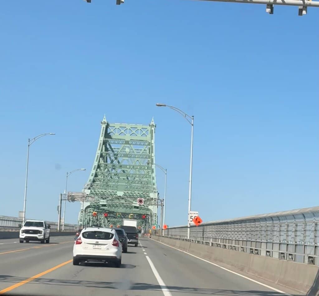
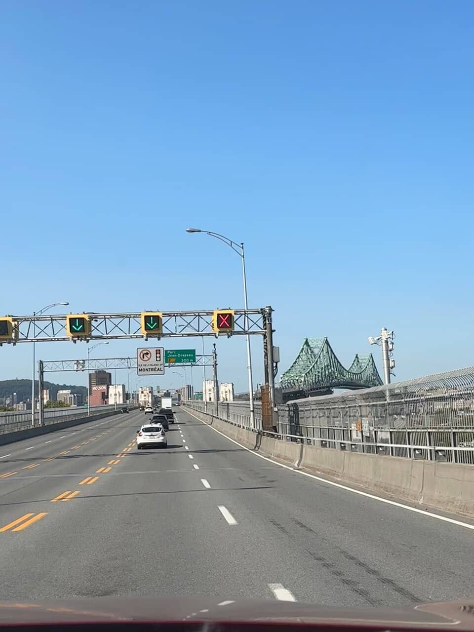
A steel cantilever truss bridge, roughly 2,765 metres (≈ 3.4 km) in length with 28 piers and 13 steel towers, it was built using 33,267 tonnes of steel at a cost of about C$23 million .
Initially three lanes plus pedestrian walkways, it expanded to five lanes by 1959 by converting tramway corridors to vehicular traffic.
Its cantilever span (≈ 590 m) includes anchor and main spans; the eastern channel was lifted in 1957–58 to 36.5 m to allow ships through the new seaway—all done without interrupting traffic .
🚶 How People Move — Traffic, Cycling & Walking
Today, it's a five‑lane highway, carrying between 90,000 and 110,000 vehicles daily, with annual traffic around 35.8 million crossings—making it Canada's third-busiest bridge after Champlain and Port Mann .
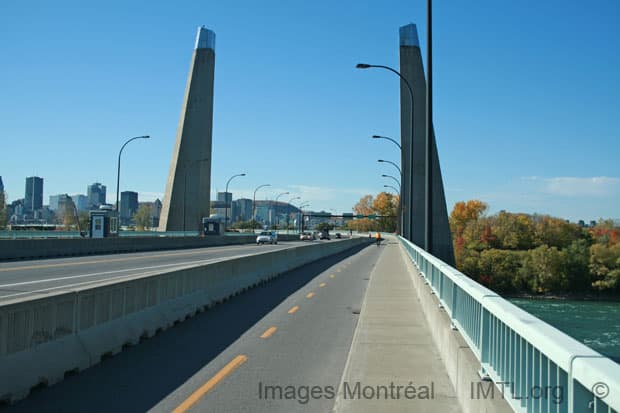
A multipurpose path and sidewalk (≈ 2.7 km long) permit pedestrians, cyclists and scooters, offering stunning views of Mount Royal, downtown, La Ronde, and the Old Port .
Around 550,000 walking or cycling crossings are logged annually .
✨ Illumination & Cultural Features
Since 2017, the bridge has featured the Living Connections lighting system—a vast LED installation that changes in real time with city data like weather, traffic, seasons, and social media trends.
Over 2,800 lights/projectors illuminate its piers, turrets, and structural skin in coordinated animations—making it the world's first “connected” bridge using big data to reflect Montréal’s mood .
🧭 Must‑See & Insider Experiences
The iconic Art‑Deco pavilion and turrets mid‑span pay homage to Parisian architecture; the turrets are often said to evoke a mini‑Eiffel Tower
Pedestrians can walk through a tunnel beneath the bridge with murals by Montreal artist Rafael Sottolichio, which dramatize the city's industrial past
The bridge has the nickname “Pont courbé” or “crooked bridge,” due to its zig-zag approach resulting from a landowner’s resistance to expropriation during the planning phase
A bronze bust of Jacques Cartier, gifted by France in 1934, is displayed at the Sainte‑Hélène pavilion
🚧 Safety & Upgrades
A suicide-prevention barrier was installed in 2004 after an average of 10 annual incidents .
Recent improvements include anti-glare fencing for cyclists (2022), redevelopment of the land underneath into an urban, educational green space with interpretive placards and old bridge materials (2022–23) .
The managing body, Jacques Cartier and Champlain Bridges Inc. (JCCBI), took over in 1978 and continues to oversee maintenance and ongoing improvements—with a service life projected to 2080
🎒 Why Visit?
Feature Experience
Scenic Views Panoramic vistas of Montréal, the river, Parc Jean‑Drapeau, Old Port, Mount Royal
Active Crossing Walking or cycling path offering both utility and sightseeing
Nighttime Light Show Dynamic illumination synced to Montréal’s energy and events
Rich History Architectural charm, engineering stories, and local lore woven into the structure"
Dhruva Kumar
What People Like
What People Dislike
Frequently Asked Questions
🚇 🗺️ Getting There
You can access the Jacques Cartier Bridge by car via Highway 20 or Highway 132. For pedestrians and cyclists, there are access points from the Montreal and Longueuil sides, leading to the dedicated multipurpose path.
While there isn't direct public transport onto the bridge itself, you can take buses or the metro to get close to the access points on either side. From there, it's a short walk or bike ride.
Yes, the Jacques Cartier Bridge has five lanes for vehicular traffic. However, it's closed to cars during summer fireworks events for pedestrian access.
Many visitors enjoy walking or cycling across the bridge to take in the views and experience the 'Living Connections' light show at night.
Yes, the bridge has a dedicated multipurpose path and a suicide-prevention barrier was installed in 2004 for enhanced safety.
🎫 🎫 Tickets & Entry
No, walking or cycling on the Jacques Cartier Bridge is free of charge.
The pedestrian and cycling path is generally accessible 24/7, though specific access points might have their own hours. It's always best to check local advisories.
There are no tolls or fees for pedestrians or cyclists using the Jacques Cartier Bridge.
The bridge is typically closed to cars on summer nights when there are fireworks displays over the St. Lawrence River.
While not explicitly stated, it's generally recommended to keep pets on a leash if allowed. Check with the managing authority for specific pet policies.
📸 📸 Photography & Views
The entire pedestrian and cycling path offers fantastic photo opportunities. The mid-span pavilions and the illuminated structure at night are particularly photogenic.
Absolutely! The 'Living Connections' light show makes the bridge a stunning subject for night photography.
You'll get panoramic views of Montreal's skyline, Mount Royal, Parc Jean-Drapeau, and the Old Port.
Generally, personal photography is allowed. However, commercial photography or drone usage may require permits.
The bridge is nicknamed 'Pont courbé' or 'crooked bridge' due to its zig-zag approach, a result of a landowner's resistance to expropriation during planning.
🎫 🚴♀️ Cycling & Walking
The multipurpose path is approximately 2.7 kilometers (about 1.7 miles) long.
Yes, the path is designed for cyclists and pedestrians. Recent improvements include anti-glare fencing for cyclists.
You can find bike rental services, including BIXI (Montreal's bike-sharing system), near the bridge access points.
It takes about 30-45 minutes to walk across the bridge, depending on your pace and how often you stop for photos.
While there aren't dedicated rest areas with seating, the wider sections of the path allow for pausing to enjoy the views.


Social
from TikTok, Instagram & Reddit