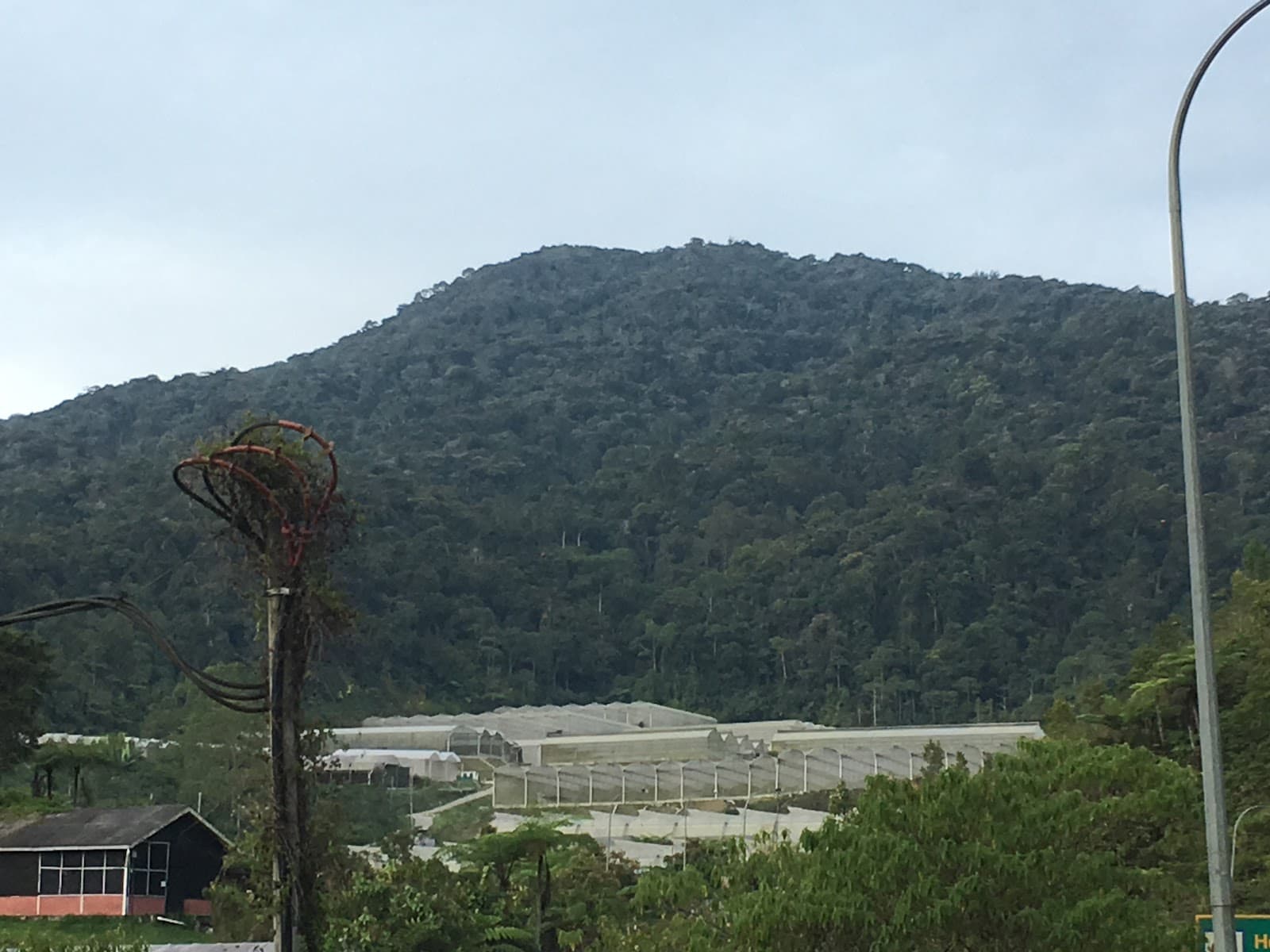
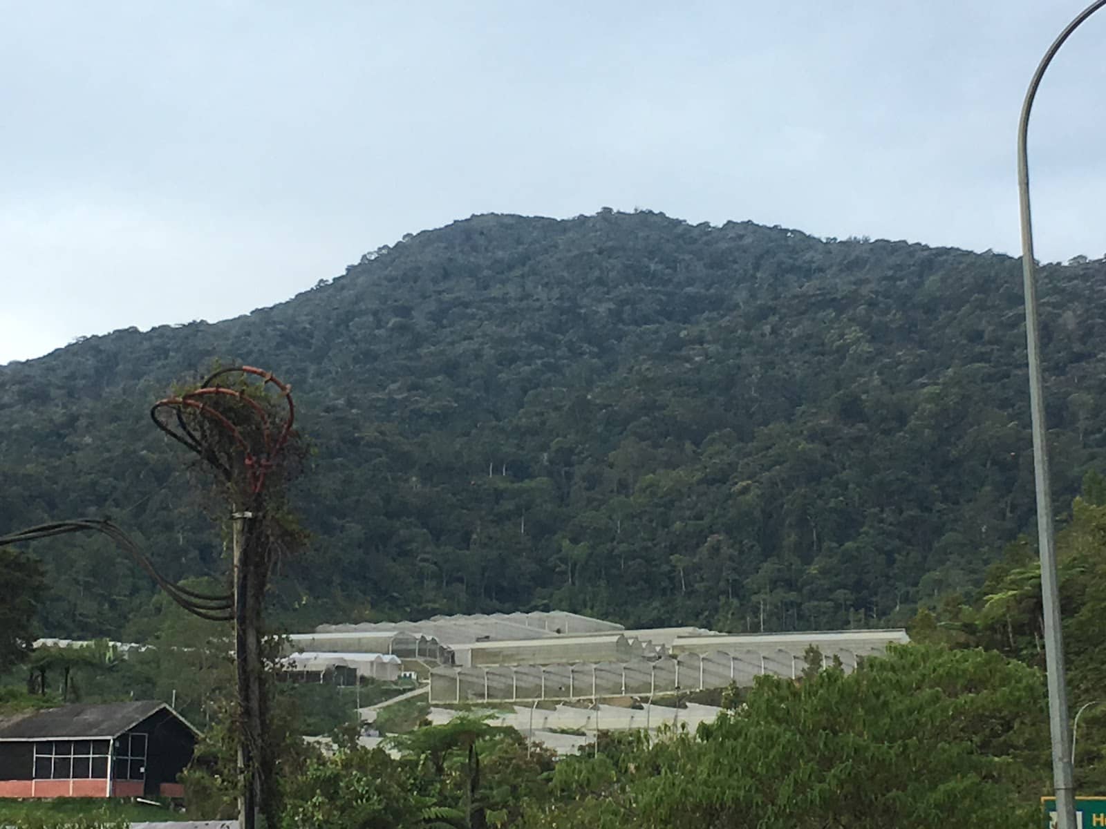
Gunung Berembun
Conquer steep rainforest trails to a WWII plane crash site and a rewarding summit. Features waterfalls and challenging terrain.
Highlights
Must-see attractions

Social
From TikTok & Reddit
Best Time
Fewer crowds, cooler temps
Gunung Berembun
Best Time
Fewer crowds, cooler temps
Highlights
Must-see attractions
Conquer steep rainforest trails to a WWII plane crash site and a rewarding summit. Features waterfalls and challenging terrain.
"It's not the mountain we conquer, but ourselves."
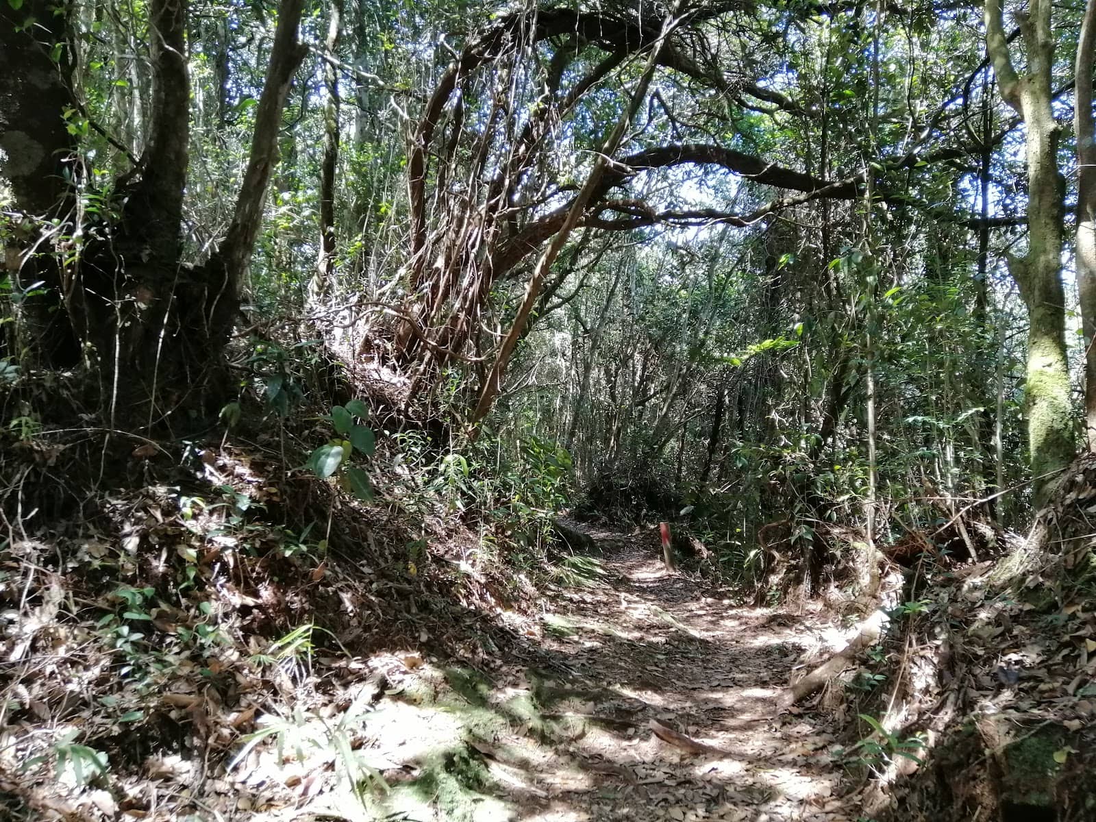
👟 Sturdy Hiking Shoes Needed
Trails are steep and often require using hands. Good grip is crucial! :athletic_shoe:
🗺️ Download Offline Maps
Trails can be confusing; offline maps are a lifesaver. :iphone:
Quick Facts
Rating
4.5 · 21 reviews
Type
Natural Feature
Highlights
Discover the most iconic attractions and experiences
WWII Plane Crash Site
Near the summit
Explore the poignant remains of a crashed WWII airplane, a somber historical marker on the trail.
Summit Views & Coffee
Peak
Reach the 1014m peak for a sense of accomplishment and enjoy a hot coffee with a view, a rewarding treat after the climb .

Jeram Tengkek Waterfall
Base of the mountain
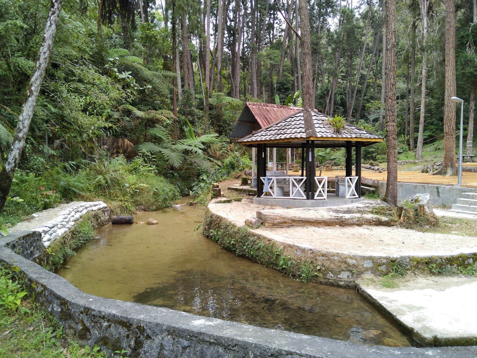
Discover a picturesque waterfall with natural water slides, perfect for a refreshing picnic spot.
Plans like a pro.
Thinks like you
Planning Your Visit
Trail Conditions & Safety
Permits & Access
Best Times
Insider Tips
from TikTok, Instagram & Reddit
👟 Sturdy Hiking Shoes Needed
Trails are steep and often require using hands. Good grip is crucial! :athletic_shoe:
🗺️ Download Offline Maps
Trails can be confusing; offline maps are a lifesaver. :iphone:
💧 Beware of Flash Floods
Stay alert, especially after rain. Calm waters can hide dangers. ☂️
☕ Peak Coffee Reward
Bring supplies for a hot coffee at the summit – it's a perfect treat! ☕
Tips
from all over the internet
👟 Sturdy Hiking Shoes Needed
Trails are steep and often require using hands. Good grip is crucial! :athletic_shoe:
🗺️ Download Offline Maps
Trails can be confusing; offline maps are a lifesaver. :iphone:
💧 Beware of Flash Floods
Stay alert, especially after rain. Calm waters can hide dangers. ☂️
☕ Peak Coffee Reward
Bring supplies for a hot coffee at the summit – it's a perfect treat! ☕
🥾 Use Your Hands!
Don't hesitate to use your hands for balance and grip on steep sections. ✋
What Travellers Say
Reviews Summary
Hikers praise Gunung Berembun for its challenging yet rewarding trails through lush rainforest and the unique historical site of a WWII plane crash. The summit offers a sense of accomplishment, and nearby waterfalls provide a refreshing natural escape. However, the trails are steep and require good physical fitness and proper gear.
"Trail 7. Started the hike from Camelia Apartment, Tanah Rata. You can park your car at the Mardi Agro park. Yellow signboard marks the trail head. You will pass through a strawberry farm and that's where the steep climb starts. My recommendation is to download Maps.me app and from there you can see the many trails that leads to the peak"
Bernard Soon
"What an experience running from Century Pines Resort to Parit Falls and up and down Gunung Berembun. All done in the dark during the Cameron Sundown with heavy rain for a couple of hours. Steep, but with matured trees and roots meant for better grip with a decent trail running / hiking shoe. Skip to poles. It's not a hike without the use of your hands."
Marc Woo
"Gunung Berembun -
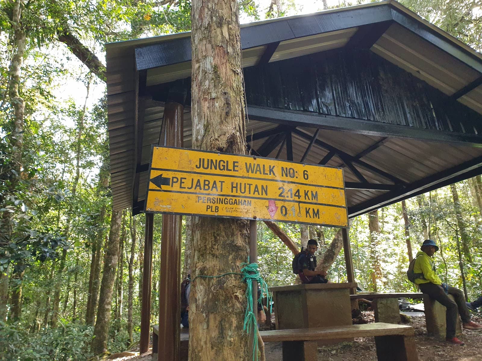
Known as Jungle Walk No 7 which's located in Cameron Highlands, Pahang Darul Makmur, Malaysia.
It's a short distance less than 2 km and the duration about 1- 2 hours (one way) through a several trails that's lead to the peak (1840m) asl. It also the historical location of the remains of a crashed plane during 2nd World War era.
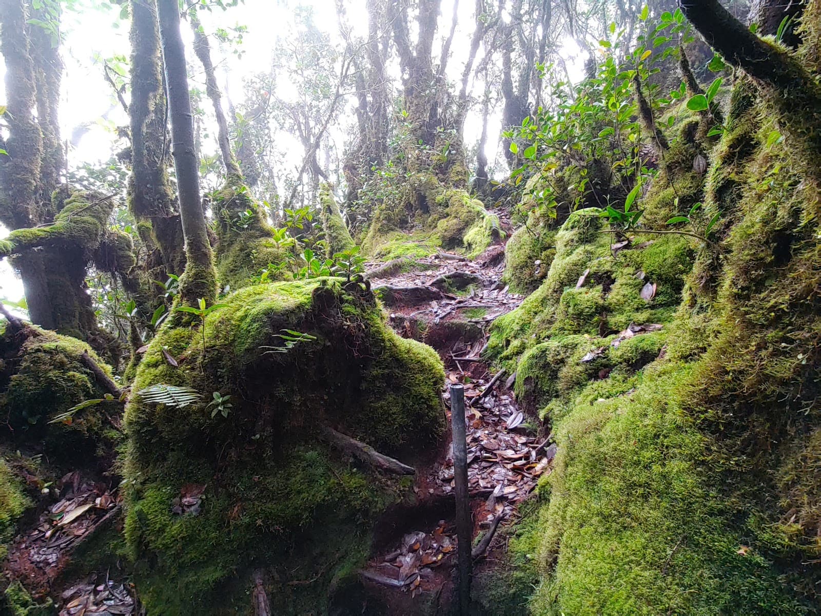
Short but steep climb/hike up to the tropical rainforest where you can see some wild flowering and tropical plants. The hike is chill with quite cool atmosphere and the occasional mist along the way to the summit.
Not much of a view at the top, partially closed by the leafy trees and the bushes but worth it after you climb to the top ... 🤗"
Azman Ahmad
What People Like
What People Dislike
Frequently Asked Questions
🚇 🗺️ Getting There
Access to Gunung Berembun can vary. Some trails start near Camelia Apartment in Tanah Rata, Cameron Highlands, with parking at Mardi Agro park. Another access point is via Kampung Baru Sungai Chalit, near Raub, which requires a four-wheel-drive vehicle due to rough roads.
Look for yellow signboards marking the trailheads. Downloading an offline map like Maps.me is highly recommended as trails can be intricate.
For the Cameron Highlands access, a regular car is usually fine to the parking area. However, the route near Raub to Jeram Tengkek requires a 4WD vehicle.
Yes, private group expeditions can be arranged, often including guides, permits, and packed food. These can be booked for weekdays or weekends.
Travel time to the trailhead depends on your starting point. From Raub, it's about 30 km to Kampung Baru Sungai Chalit. The hike itself can take around 8 hours round trip for longer trails.
🎫 🎫 Tickets & Entry
Yes, a permit is required for hiking Gunung Berembun. There is a designated hut where you can purchase your permit.
For Malaysian hikers, the package cost is around RM45 per person, which typically includes the permit and packed food. International hikers may pay RM65.
Permit availability and purchase times are not explicitly stated, but it's advisable to arrive early, especially on weekends, to secure your permit and start your hike.
Yes, Gunung Berembun is open for hiking on weekdays. In fact, weekdays are often recommended for a less crowded experience.
Specific age restrictions are not mentioned, but the steep and challenging nature of the hike suggests it's best suited for individuals with a reasonable level of fitness. Parents should assess suitability for younger children.
🎫 ⛰️ Onsite Experience
The hike is considered steep and challenging, especially the initial climb. It's described as a 'pacak' (steep incline) trail that requires good physical fitness and often the use of hands for support.
The duration can vary significantly depending on the trail and your fitness level. Some sources suggest around 1-2 hours one way for shorter trails, while longer routes can take up to 8 hours round trip.
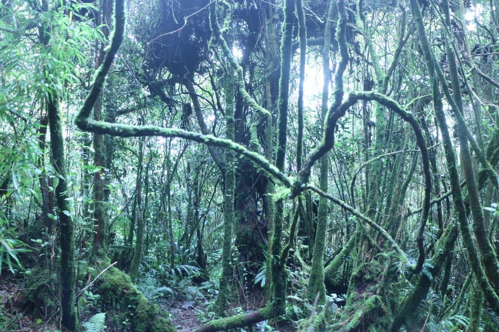
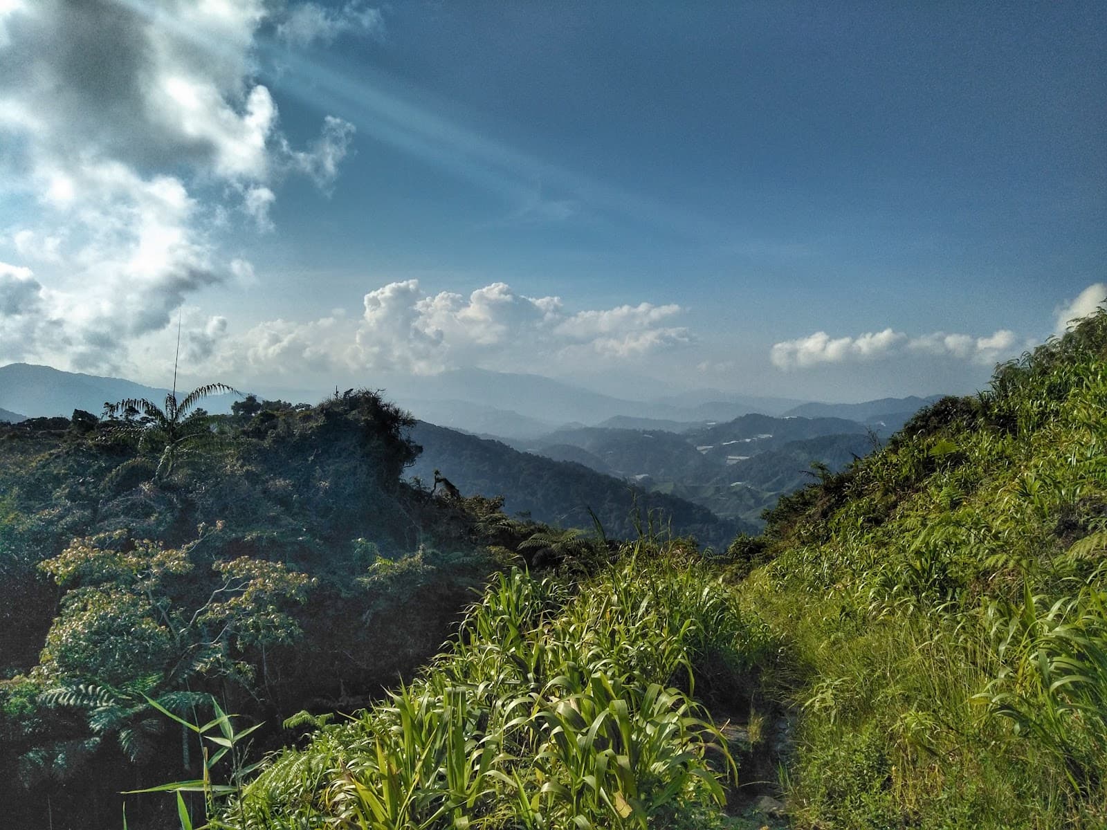
You'll trek through a dense tropical rainforest with mature trees, roots, and occasional mist. The trail is known for its lush greenery and natural beauty.
The view at the top is partially obscured by trees and bushes, so it's not a panoramic vista. However, reaching the peak offers a sense of accomplishment and a place to rest.
While solo hiking is possible, it's generally recommended to hike with a companion or group for safety, especially given the challenging terrain and potential for unexpected weather changes.
📸 📸 Photography
The WWII plane crash site offers unique historical photo opportunities. The lush rainforest trails and the summit itself, especially with a coffee, are also popular for capturing the hiking experience.
Yes, the Jeram Tengkek waterfall provides a beautiful backdrop for photos, with natural water slides adding to the picturesque scenery.
Morning light can be beautiful for capturing the rainforest's ambiance. However, be prepared for potential mist, which can add a dramatic effect to your shots.
A standard smartphone camera is sufficient for capturing most moments. If you plan on more serious photography, consider a durable camera that can handle humidity and potential rain.
There are no specific mentions of drone restrictions, but it's always advisable to check local regulations before flying drones in natural areas.


Social
from TikTok, Instagram & Reddit