
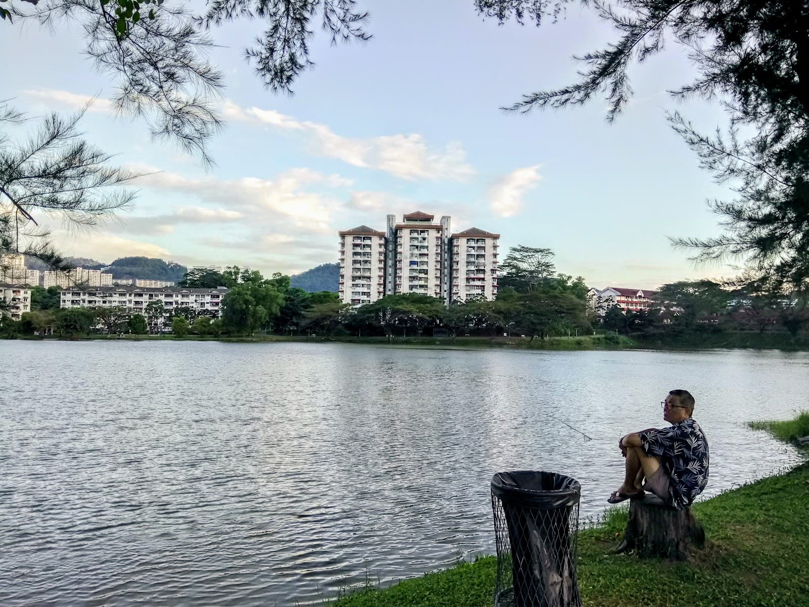
Bukit Ketumbar Trail
A popular local hiking spot offering varied trails, scenic views, and a unique community-built outdoor gym.
Highlights
Must-see attractions

Social
From TikTok & Reddit
Best Time
Fewer crowds, cooler temps
Bukit Ketumbar Trail
Best Time
Fewer crowds, cooler temps
Highlights
Must-see attractions
A popular local hiking spot offering varied trails, scenic views, and a unique community-built outdoor gym.
"Good neighborhood hike with nice scenery and a unique community vibe at the peak."
Choose Your Route Wisely
Opt for the long route up for more scenery & experience, and the short route down. :hiking_boot:
Permit Check
Check the Selangor Forestry website for permit requirements before your visit. :admission_tickets:
Quick Facts
Hours
Rating
4.5 · 1,500 reviews
Type
Hiking Area
Highlights
Discover the most iconic attractions and experiences
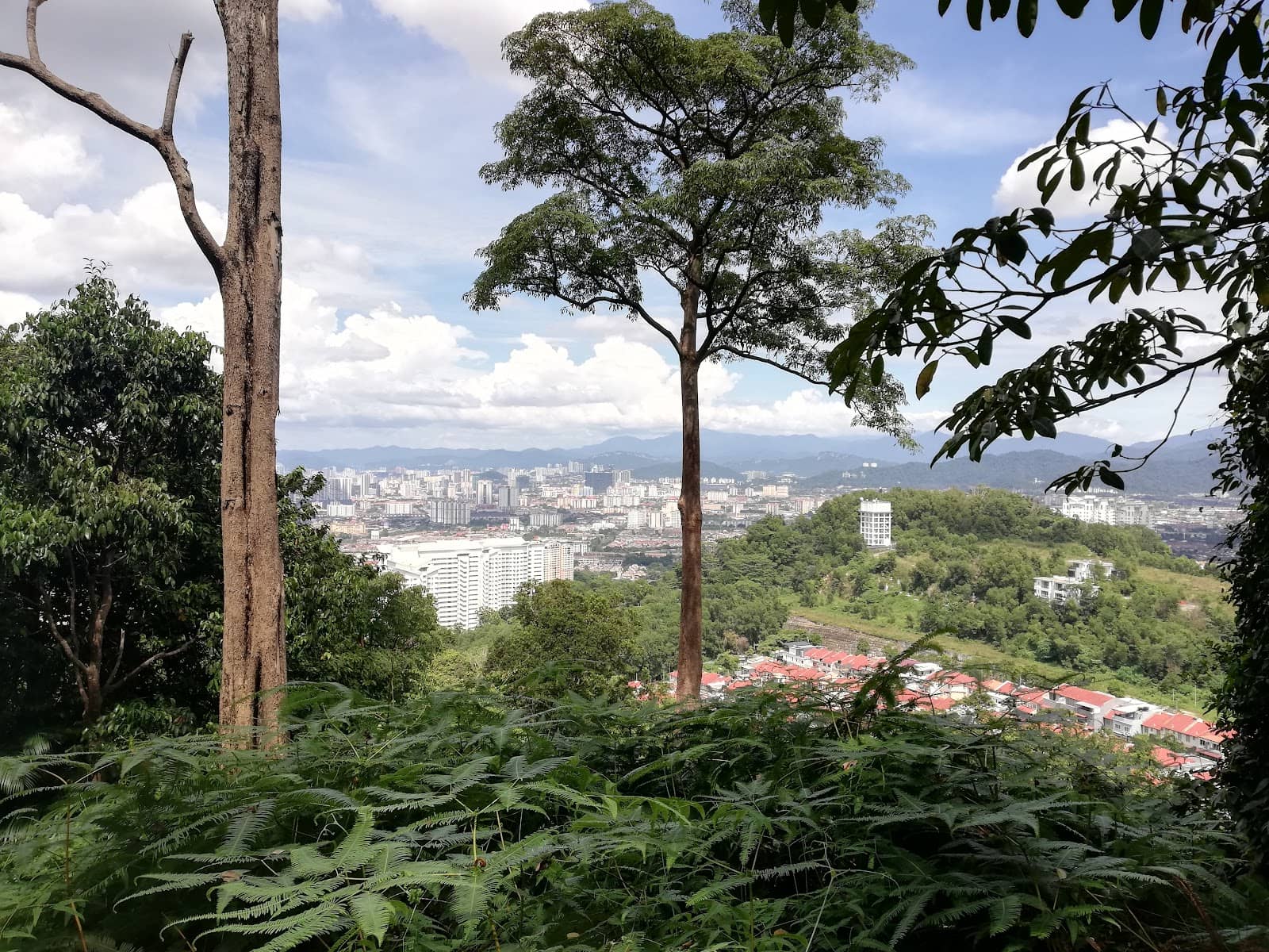
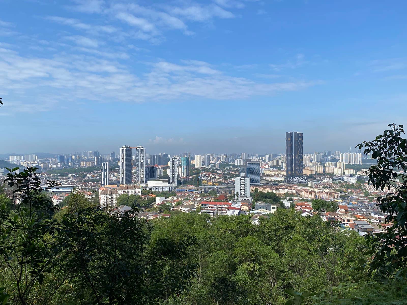
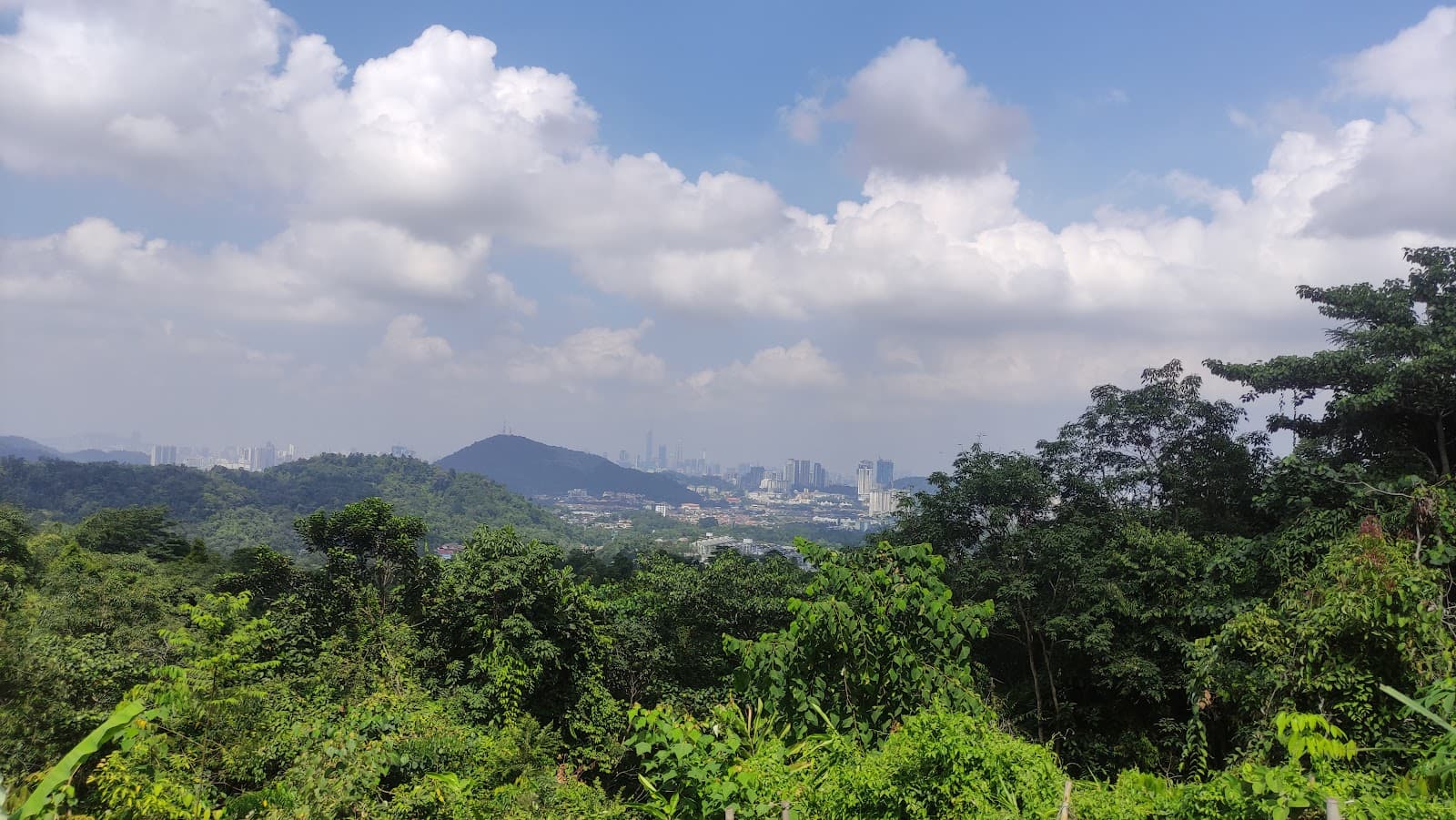
The Peak Viewpoints
Summit
Enjoy stunning panoramic views of the surrounding landscape from various checkpoints along the trail.
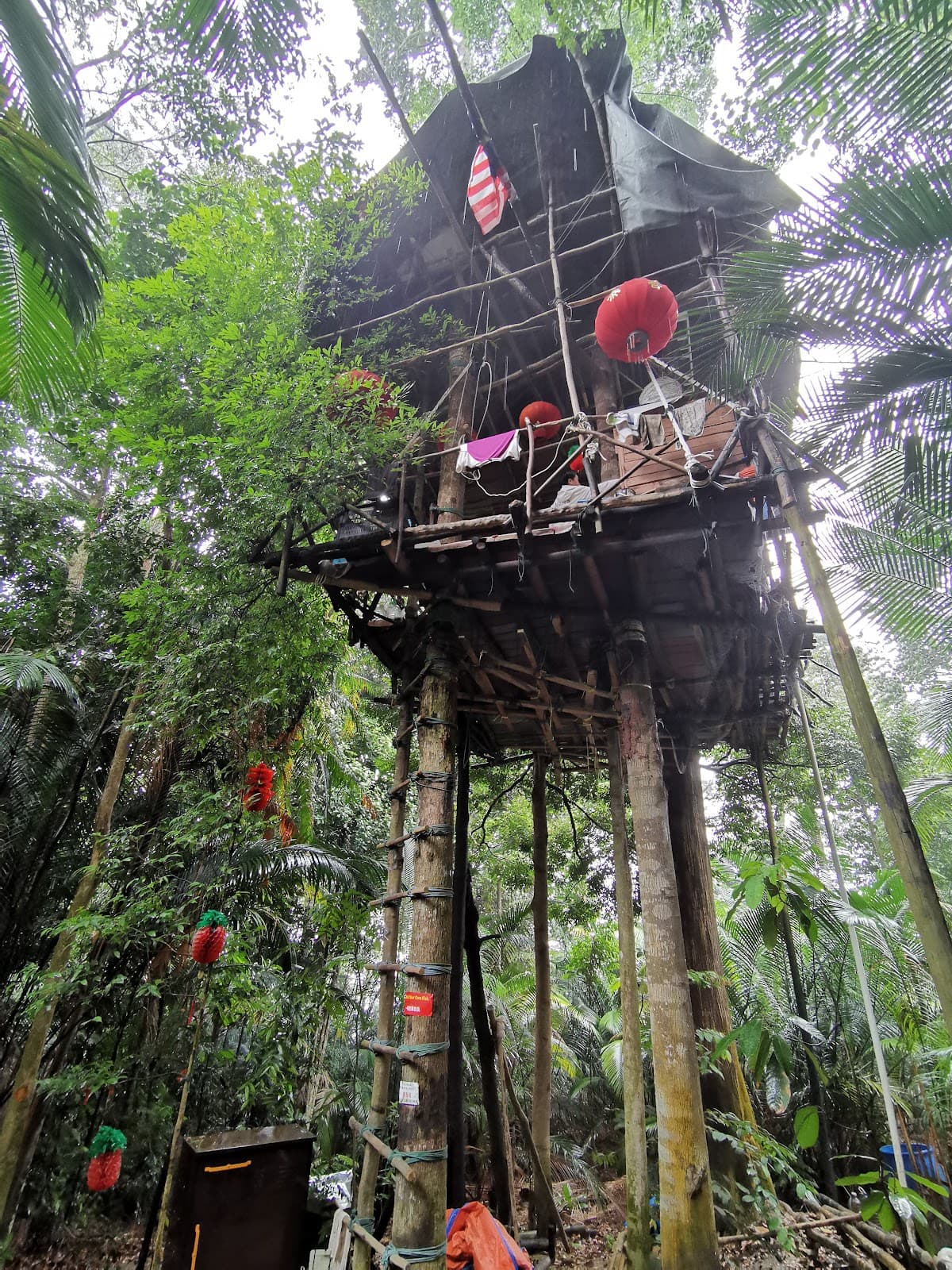
Community Outdoor Gym
Near the summit
Experience the unique community-built outdoor gym, a testament to local spirit and fitness enthusiasts.
Varied Trail Routes
Trailhead
Choose between a steep, quick ascent or a longer, more scenic path for a customized hiking experience.
Plans like a pro.
Thinks like you
Planning Your Visit
Trail Options & Timing
Permits & Preparation
Best Times
Insider Tips
from TikTok, Instagram & Reddit
Coming to KL for 4 days, suggest a trek please!
Taman Tugu, Apek Hill and Ketumbar Hill. All within reach by rapidkl bus or Grab. Bukit Saga too..I wonder if the trail is open now.
Choose Your Route Wisely
Opt for the long route up for more scenery & experience, and the short route down. :hiking_boot:
Permit Check
Check the Selangor Forestry website for permit requirements before your visit. :admission_tickets:
Good beginner-friendly hiking spots around Selangor?
Hi everyone! I’m new to hiking and would love to start exploring some beginner-friendly trails around KL or Selangor (or nearby areas). I’m looking for something that isn’t too challenging but still has nice scenery. Any recommendations or tips for a first-timer (like what to…
Hiking place for Uncles 50s in KL, PJ, Selangor
Hi guys, Would like recommendations on short hiking place. We are a bunch of uncles in 50s trying to explore KL, PJ and Selangor for a weekend. Used to go Broga and Taman Tun, any recommendations? Is FRIM still collect expensive entry fees? Is Bukit Nanas worth to…
Slippery When Wet
Wear proper shoes, especially if it's rained; trails can get slippery. :athletic_shoe:
Community Vibe
Enjoy the friendly atmosphere and community-built features like the outdoor gym.
Tips
from all over the internet
Choose Your Route Wisely
Opt for the long route up for more scenery & experience, and the short route down. :hiking_boot:
Permit Check
Check the Selangor Forestry website for permit requirements before your visit. :admission_tickets:
Slippery When Wet
Wear proper shoes, especially if it's rained; trails can get slippery. :athletic_shoe:
Community Vibe
Enjoy the friendly atmosphere and community-built features like the outdoor gym.
Navigation Aid
Experienced hikers can navigate the natural woods; others can use Strava maps. :iphone:
What Travellers Say
Reviews Summary
Bukit Ketumbar Trail is praised as a good neighborhood hike with varied routes suitable for different fitness levels. Visitors appreciate the scenic viewpoints, the unique community-built outdoor gym, and the friendly atmosphere. Some note that trails can be slippery when wet and recommend checking for permit requirements.
"I came here with my colleagues for a short hiking. We completed about an hour since it's an out and back trail. We took the short way to climb up and long way to come down. There were quite a number of stairs when we're climbing so a little challenging. The scenery was quite nice also there are few checkpoints where you can rest before proceed to hike. Overall, it's a good place for hiking"
Parimila
"There are 2 routes upto the peak: short & long. But it is recommended to climb up with long route & get down with short route. Long route will bring more experiences, nice scenery &stunning view (approximately 1hr). It is better to use hiking stick. The hiking trail is not hard, it is medium level."
Cecilia CC
"A good neighbourhood hike if you dnt want the hike to be long. Not long when you start, you will see two routes. Shorter route which means steeper but faster while longer route means flatter route. I took the shorter route and if it was about 20-30mins without stop subject to your stamina.
What I really like about this place is not the length but how much community love you will feel at the peak with the outdoor gym built by the community. Also, the fact you might occasionally bump into abunch of cute 'wild' boars. They are different and more immune to humans."
Pui Cheng Lum
What People Like
What People Dislike
Frequently Asked Questions
🚇 🗺️ Getting There
Bukit Ketumbar Trail is accessible by car, with plenty of parking available. Public transport options might require further local connections. It's recommended to use navigation apps or GPS to find the trailhead.
Yes, there are plenty of parking spaces available at the trailhead, making it convenient for visitors arriving by car.
For experienced hikers, the natural woods are navigable. For others, using a navigation app like Strava can be a helpful assistant to stay on track.
Yes, you can find fruit stalls near the parking area, offering a refreshing treat after your hike.
Bukit Ketumbar Trail is generally considered beginner-friendly, especially if you choose the longer, less steep route. The shorter route is steeper but quicker.
🎫 🎫 Tickets & Entry
It is listed as requiring a permit on the Selangor Forestry website. It's advisable to check their site and obtain a permit a day before your visit to avoid any issues.
As a natural trail, Bukit Ketumbar is generally accessible during daylight hours. However, it's best to plan your hike during the morning or late afternoon for cooler temperatures and better visibility.
While there isn't a direct entrance fee mentioned, a permit might be required, which could incur a small charge. It's best to confirm with the Selangor Forestry department.
Yes, you can hike alone, and on busy mornings, you'll likely encounter many other hikers, so you won't be completely isolated.
If you're not doing a loop and just doing an out-and-back hike, it's roughly 2km in and out. The longer route takes about an hour to reach the peak.
🎫 🥾 Onsite Experience
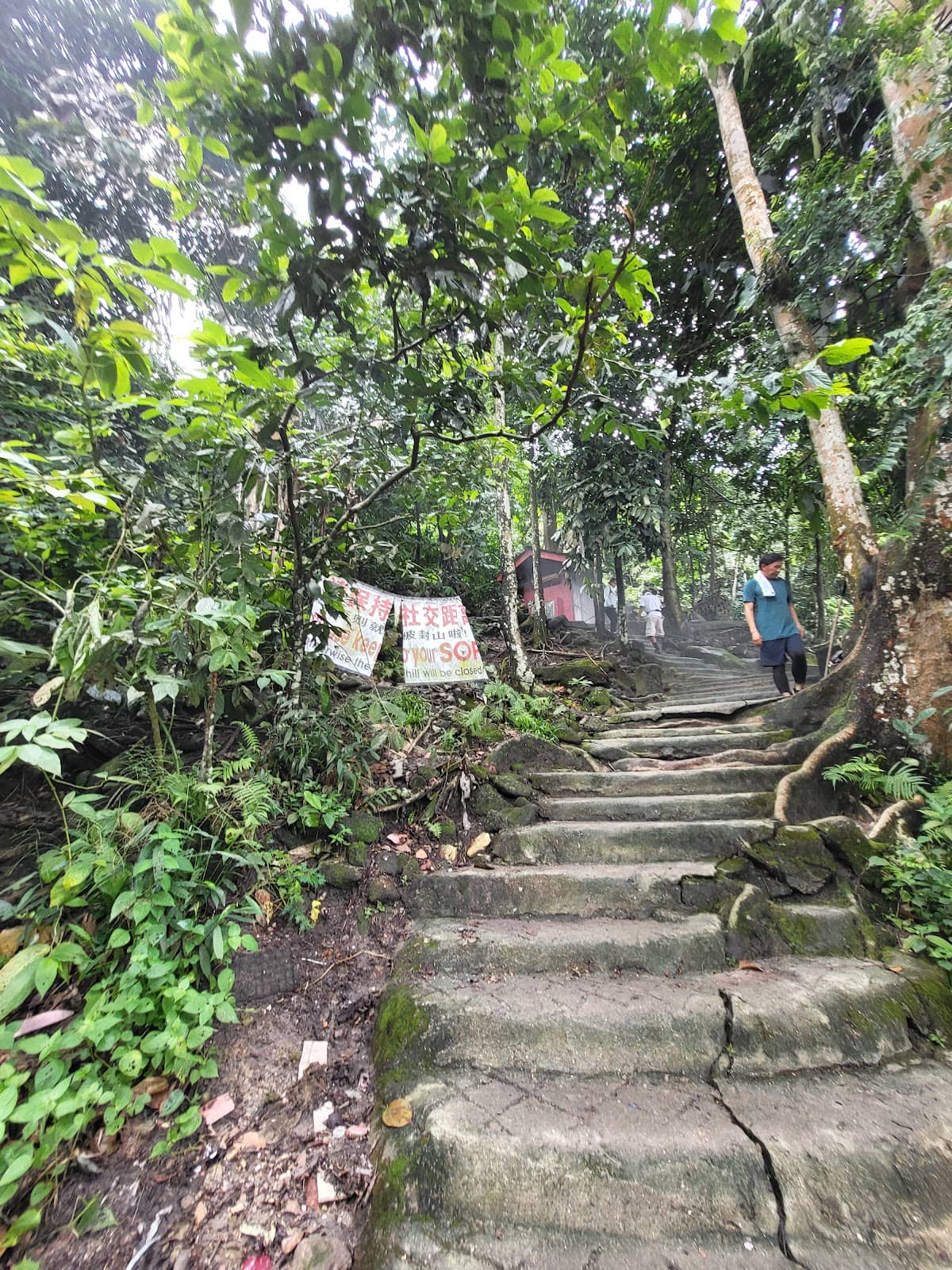
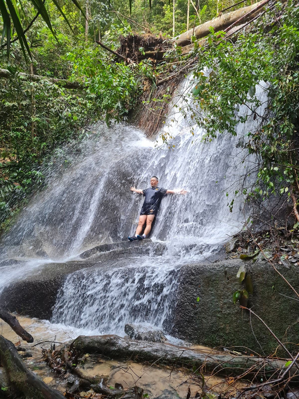
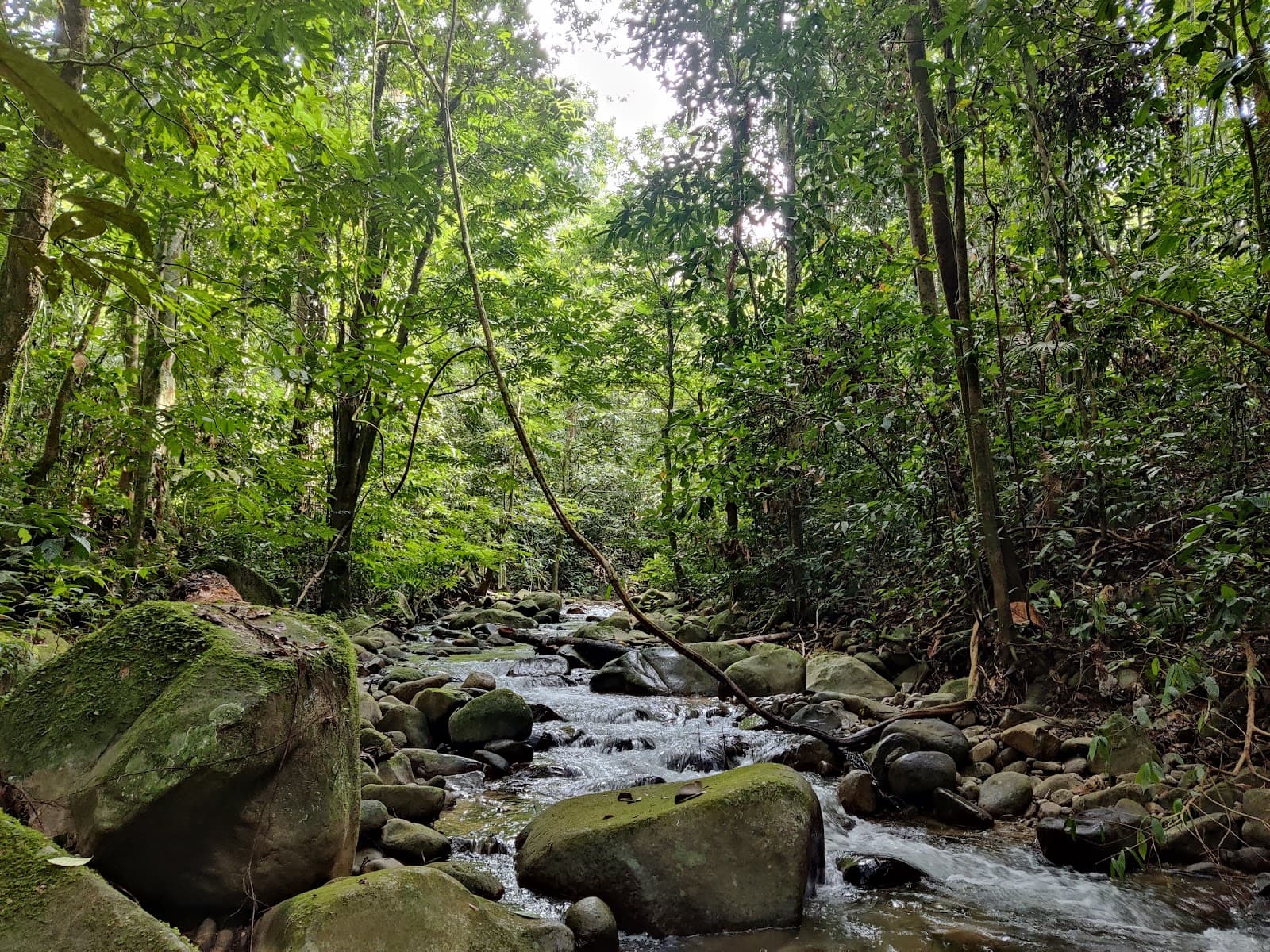
The trail is considered medium level. It offers a good mix of mud, stairs, cobbles, and inclines/declines, providing a varied hiking experience.
Wear proper hiking shoes as the trail can be slippery, especially after rain. Comfortable athletic wear is also recommended.
There are few structures built along the way, including an outdoor gym. Rest stops are available at checkpoints.
Some visitors have reported occasionally bumping into cute 'wild' boars, which are noted to be more accustomed to humans.
There are beautiful scenery points along the trail, especially as you approach the peak, offering great photo opportunities.
🍽️ 🍎 Food & Dining
Fruit stalls are available near the parking area, offering fresh produce. For more substantial meals, you'll need to venture to nearby eateries outside the immediate trail vicinity.
Yes, it's recommended to bring your own water and snacks, especially for longer hikes. There are fruit stalls for post-hike refreshments.
📸 📸 Photography
The viewpoints near the summit offer stunning panoramic scenery. The community outdoor gym also provides a unique backdrop for photos.
Yes, the trail winds through natural woods, and the viewpoints offer beautiful landscapes, making it a good spot for nature and scenic photography.


Social
from TikTok, Instagram & Reddit