Montaña de La Breña
A challenging hike with rewarding panoramic views, offering a peaceful escape into nature and a unique perspective of the nearby airport.
Highlights
Must-see attractions

Social
From TikTok & Reddit
Best Time
Best for views & birdwatching
Montaña de La Breña
Best Time
Best for views & birdwatching
Highlights
Must-see attractions
A challenging hike with rewarding panoramic views, offering a peaceful escape into nature and a unique perspective of the nearby airport.
"The view is awesome and a great lunch spot, no toilets nearby but there is a water tap, looks drinkable."
💧 Bring Plenty of Water
Essential for the 600m climb. A tap is available, but carry your own supply.
👟 Sturdy Walking Shoes
Crucial for navigating road and gravel paths. Don't wear trainers!
Quick Facts
Hours
Rating
4.6 · 328 reviews
Type
Park
Highlights
Discover the most iconic attractions and experiences
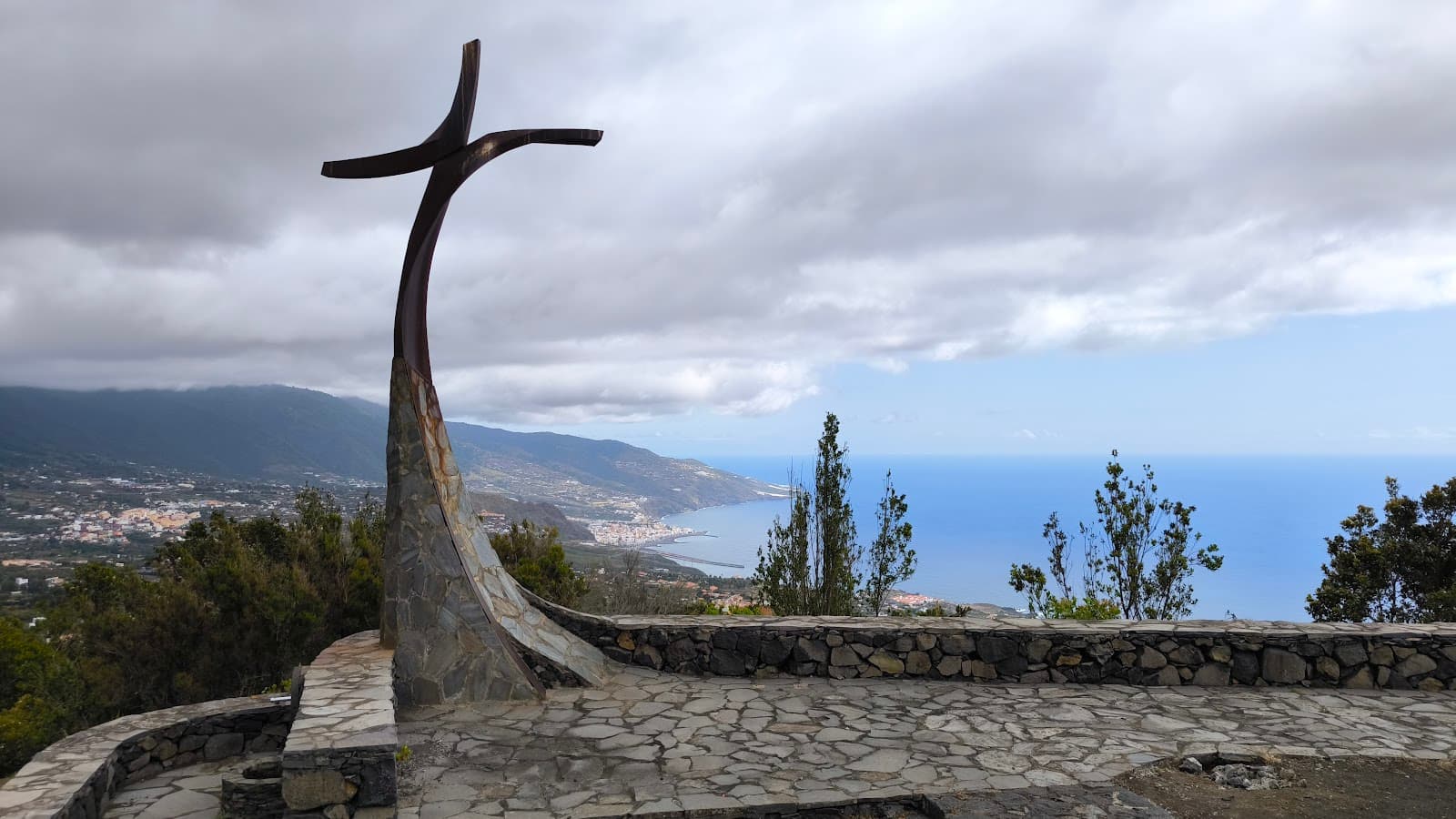
Panoramic Summit Views
Peak of Montaña de La Breña
Breathtaking 360-degree views of the countryside, airport, and distant planes. A perfect lunch spot.
Secret Heart of the Mountain Path
Off the main road, near a big tree
Discover a hidden path over the water channel to explore the mountain's core.

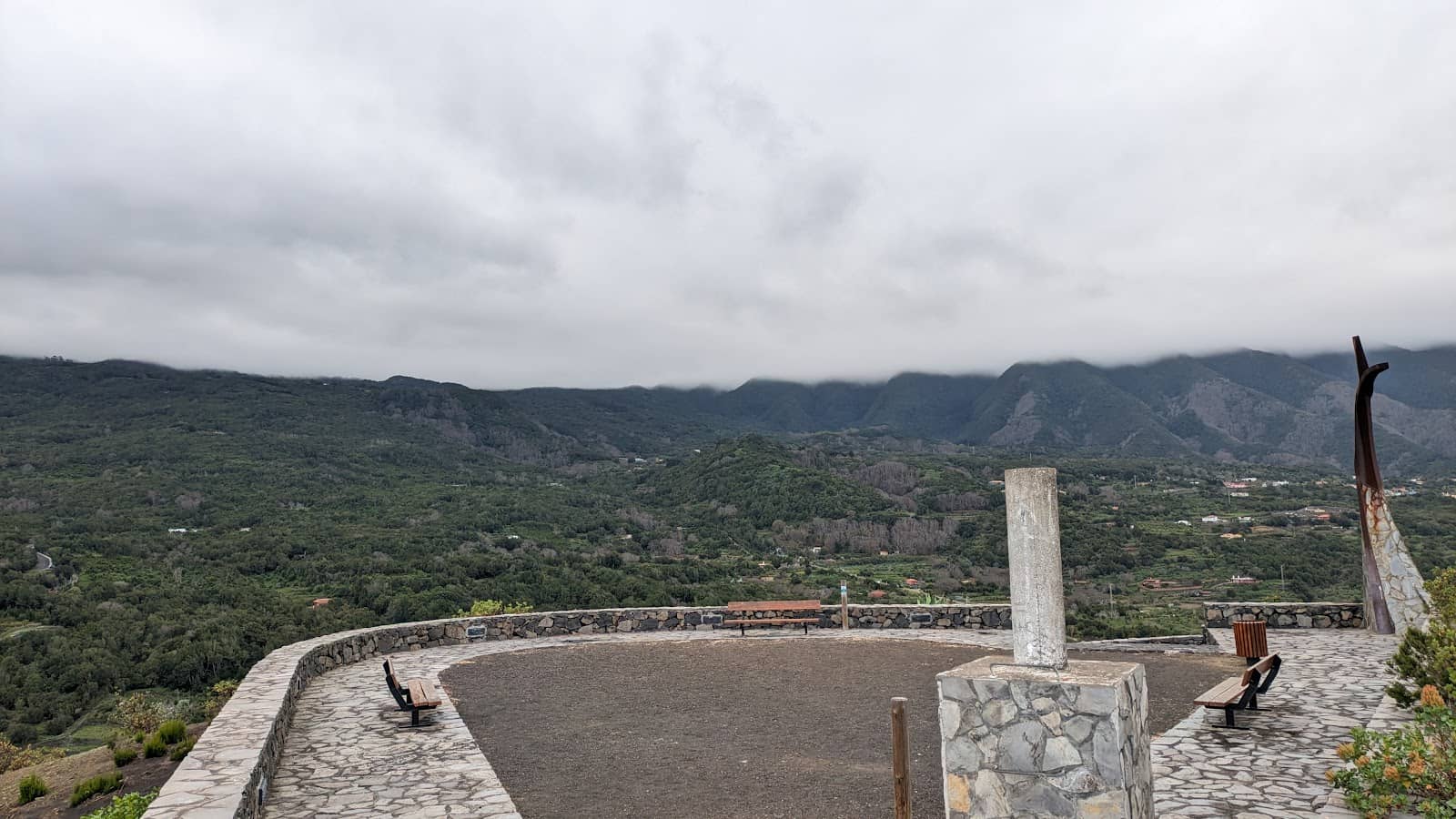
Birdwatching Paradise
Throughout the mountain trails
Enjoy the lovely countryside and observe diverse bird species in their natural habitat.
Plans like a pro.
Thinks like you
Planning Your Visit
Hydration is Key
Navigation & Footwear
Best Times
Insider Tips
from TikTok, Instagram & Reddit
💧 Bring Plenty of Water
Essential for the 600m climb. A tap is available, but carry your own supply.
👟 Sturdy Walking Shoes
Crucial for navigating road and gravel paths. Don't wear trainers!
🗺️ Use a Navigation App
Trail signs are patchy. Komoot or similar apps are highly recommended.
📸 Capture the Views
The summit offers breathtaking vistas, perfect for photos.
Tips
from all over the internet
💧 Bring Plenty of Water
Essential for the 600m climb. A tap is available, but carry your own supply.
👟 Sturdy Walking Shoes
Crucial for navigating road and gravel paths. Don't wear trainers!
🗺️ Use a Navigation App
Trail signs are patchy. Komoot or similar apps are highly recommended.
📸 Capture the Views
The summit offers breathtaking vistas, perfect for photos.
🤫 Respect the Quiet
Enjoy the peaceful atmosphere; music is not allowed in the picnic area.
What Travellers Say
Reviews Summary
Visitors praise Montaña de La Breña for its stunning panoramic views and peaceful natural setting, making it a great spot for hiking and photography. However, some find the trail signage to be patchy, emphasizing the need for navigation aids and sturdy footwear.
"A tough and challenging circular route, about a 600 metre climb on road and gravel surfaces. Take plenty of fluids. Wear good walking shoes. The signs are patchy, i used komoot walking app for route navigation from los cancajos. The view is awesome and a great lunch spot, no toilets nearby but there is a water tap, looks drinkable. Took about 3 hours to complete. Bravo 👏"
Lee Thompson
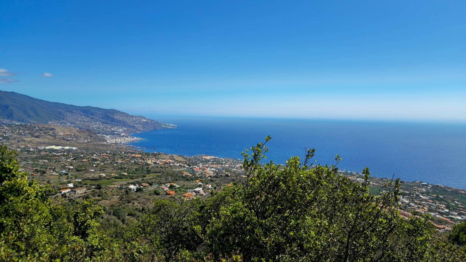
"Great views. From here the airport looks like a model with tiny aeroplanes in the distance. Lovely countryside and many birds.
Beware - Google might try to direct you to drive up a parallel part of Calle de la Montaña that turns into a steep, dirt track footpath."
John B
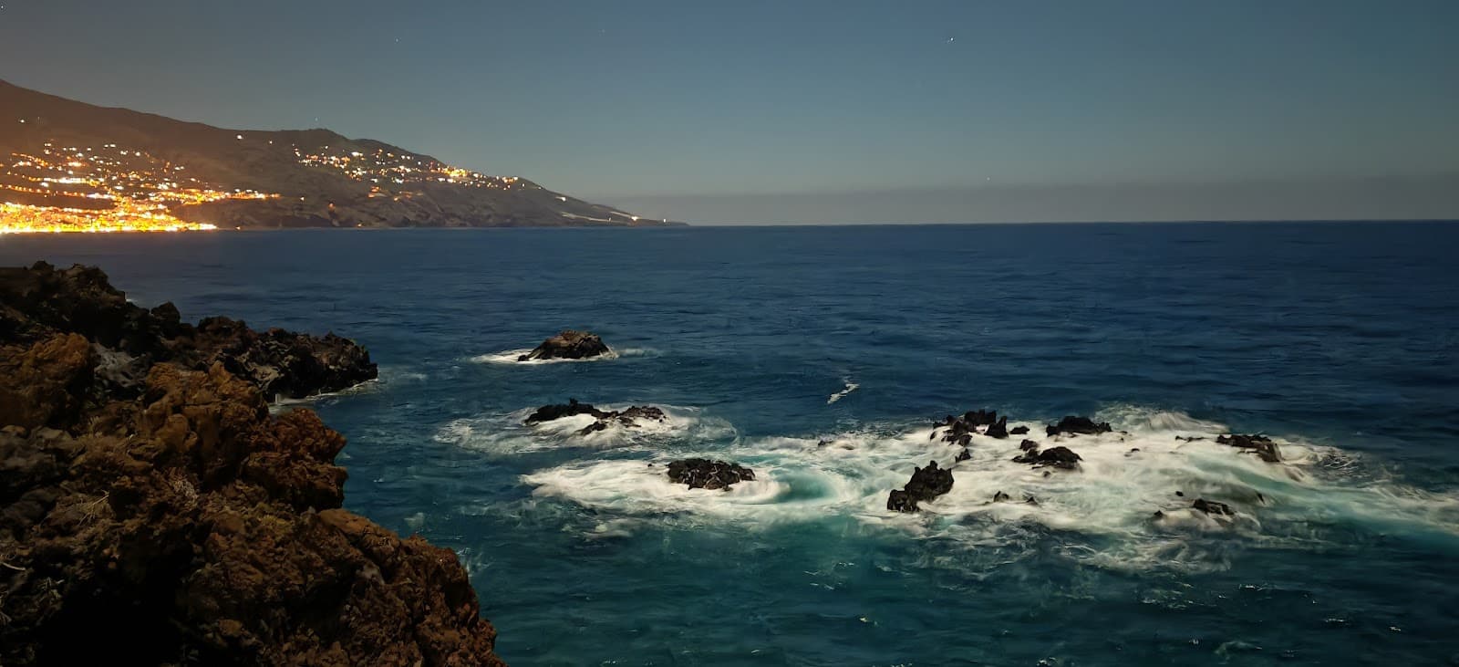
"Beautiful at night, great for wild camping if you are close to town or the airport and if the weather is poor."
Luca
What People Like
What People Dislike
Frequently Asked Questions
🚇 🗺️ Getting There
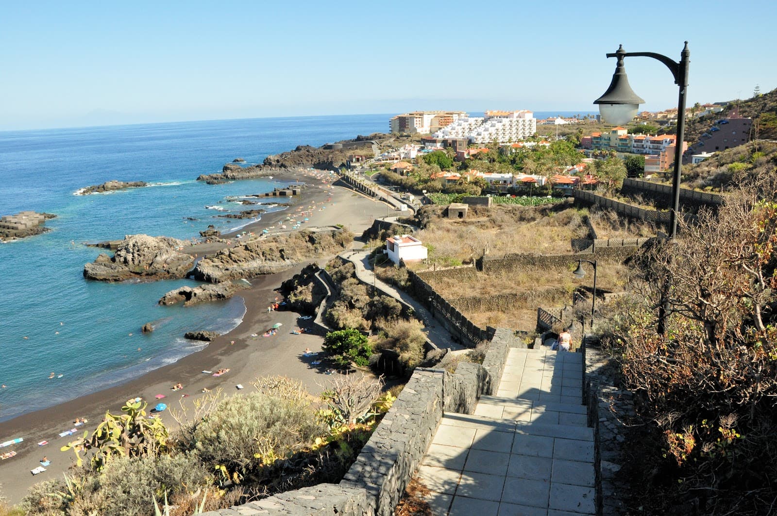
The most common approach is from Los Cancajos. Be cautious of Google Maps directing you onto steep, unpaved tracks; stick to main roads where possible.
Parking is available in the picnic area. Be aware that some routes might lead to difficult-to-access spots if you follow GPS blindly.
No, the final ascent is on foot. The drive might lead you to the base or a starting point for the hike.
Due to patchy signage, using a reliable walking app like Komoot is highly recommended for route navigation.
Information on direct public transport is limited. It's generally best accessed by car or as part of a guided tour.
🎫 🎫 Tickets & Entry
Montaña de La Breña is a natural landmark and generally free to access. There are no specific tickets required for entry.
As a natural area, it's accessible at all times. However, daytime visits are recommended for safety and better visibility.
No booking is necessary. It's a public space for hiking and enjoying nature.
While generally open, be mindful of respecting the natural environment. Music is not permitted in the picnic area.
Yes, it's beautiful at night for stargazing and can be a spot for wild camping if you're close to town or the airport and weather permits.
🎫 🚶 Onsite Experience
It's a challenging circular route with approximately 600 meters of climb on road and gravel surfaces. It typically takes about 3 hours to complete.
Expect awesome, breathtaking panoramic views. You can see the airport looking like a model with tiny planes, the countryside, and many birds.
There are no toilets nearby, but there is a water tap that appears to be drinkable. It's best to come prepared.
Absolutely! The summit offers incredible photo opportunities with its vast panoramic views.
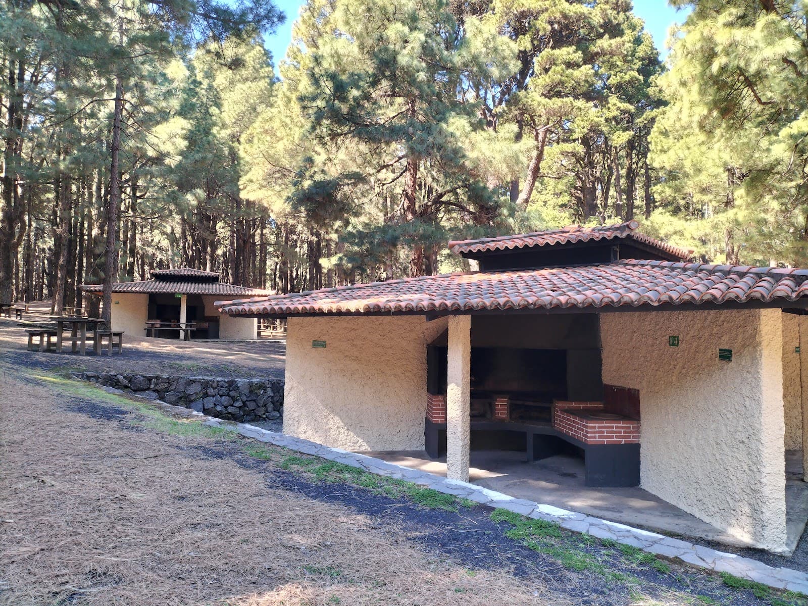
The picnic area is well-managed and a great spot to relax. Notably, music is not allowed, preserving the tranquil atmosphere.
🍽️ 🍽️ Food & Dining
No, there are no dining facilities directly on the mountain. It's a natural area best enjoyed with packed food.
Yes, the picnic area is a popular spot for visitors to enjoy their meals amidst nature.
There is a water tap on the mountain, and the water looks drinkable, but it's always wise to carry your own supply.
Pack plenty of water and snacks, especially if you plan to spend a few hours hiking and enjoying the views.
Yes, after descending, you can find restaurants and cafes in nearby towns like Los Cancajos.
📸 📸 Photography
Golden hour (early morning or late afternoon) offers beautiful light for landscape photography. Daytime provides clear views of the airport and surrounding areas.
A wide-angle lens is great for capturing the expansive panoramas. A telephoto lens can be useful for spotting distant details like planes.
The summit is a must for panoramic shots. The 'secret path' leading over the water channel also offers unique perspectives.
Drone regulations vary by location. Check local rules before flying, especially considering the proximity to the airport.
The sun can be intense, so bring protection for your gear. Wind can also be a factor at the summit.


Social
from TikTok, Instagram & Reddit