
Offa's Dyke Path Oswestry
Walk the ancient boundary of England and Wales, traversing diverse landscapes and rich history on this iconic long-distance trail.

Highlights
Must-see attractions

Social
From TikTok & Reddit
Best Time
Longer days, milder weather
Offa's Dyke Path Oswestry
Best Time
Longer days, milder weather
Highlights
Must-see attractions
Walk the ancient boundary of England and Wales, traversing diverse landscapes and rich history on this iconic long-distance trail.
"A journey through history and stunning landscapes, Offa's Dyke Path offers an unforgettable border adventure."

🗺️ Plan Your Sections
Don't try to hike it all at once! Break it down into manageable sections.
🥾 Sturdy Footwear is a Must
The terrain varies greatly; good hiking boots are essential for comfort and safety. :athletic_shoe:

Quick Facts
Rating
4 · 1 reviews
Type
Hiking Area
Highlights
Discover the most iconic attractions and experiences
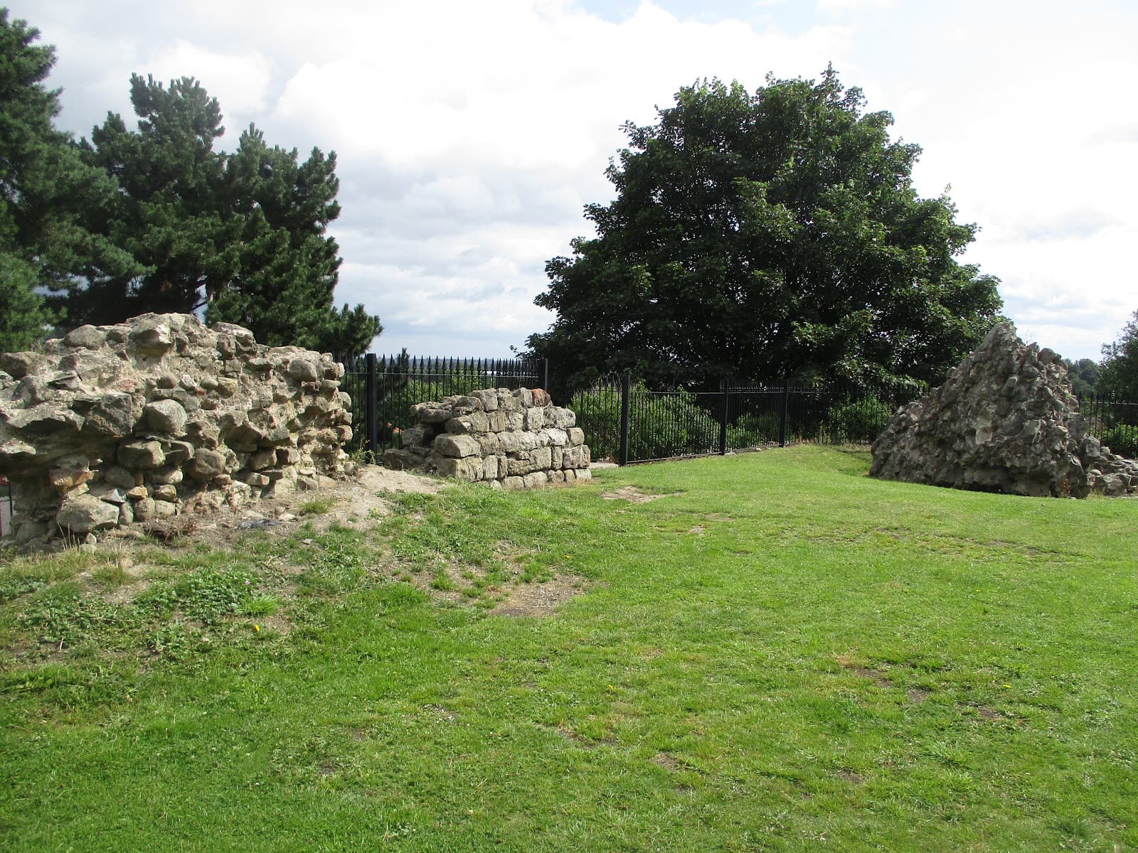
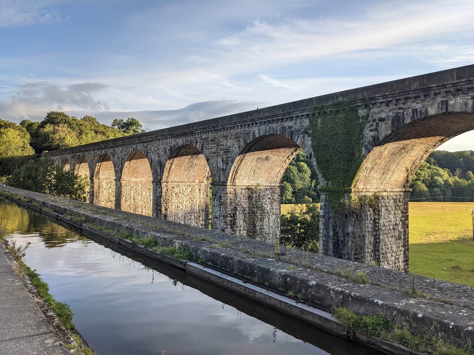
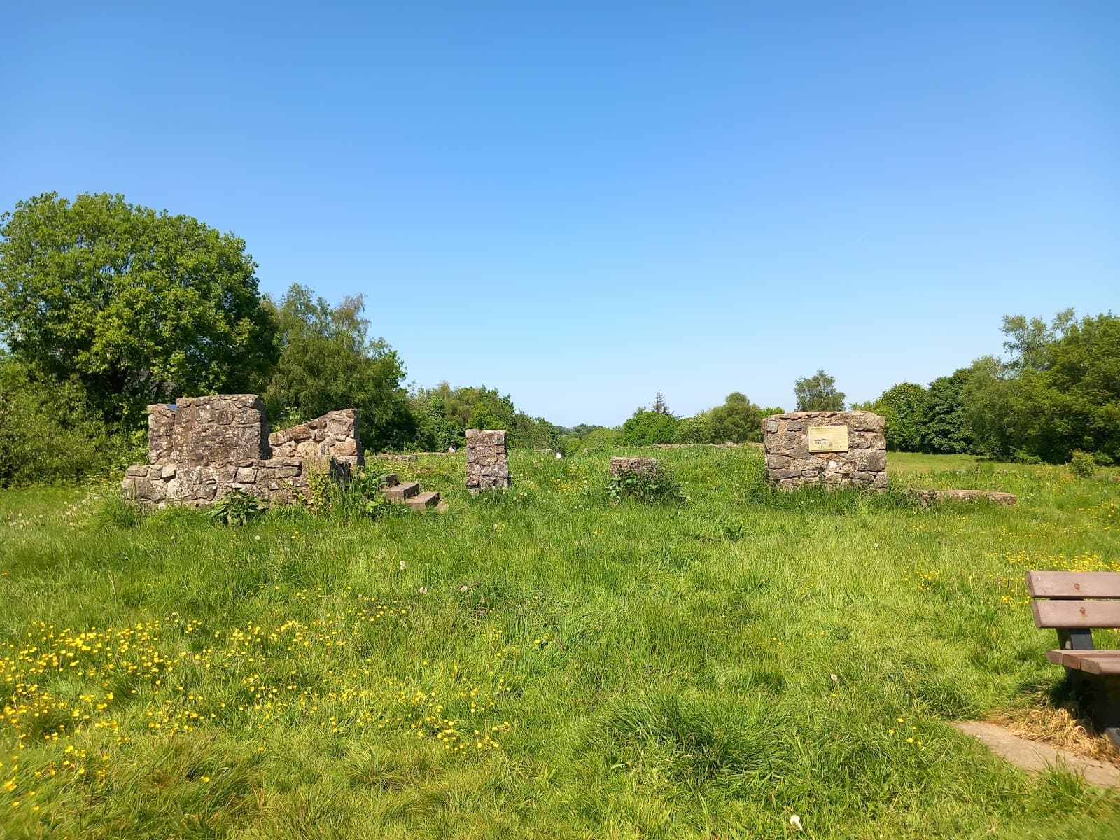
The Dyke Itself
Various points along the path
Walk alongside the ancient earthwork, a tangible link to Anglo-Saxon history and a UNESCO World Heritage Site.

Shropshire Hills Views
Long Mynd, Stiperstones
Experience breathtaking panoramic vistas of rolling hills and dramatic rock formations. A photographer's dream!

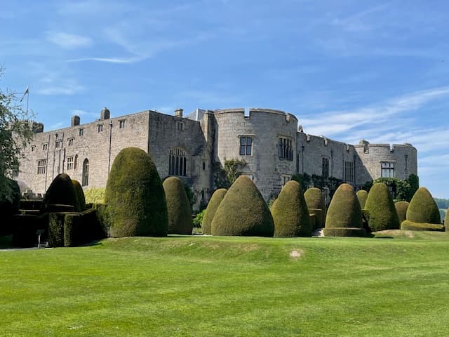
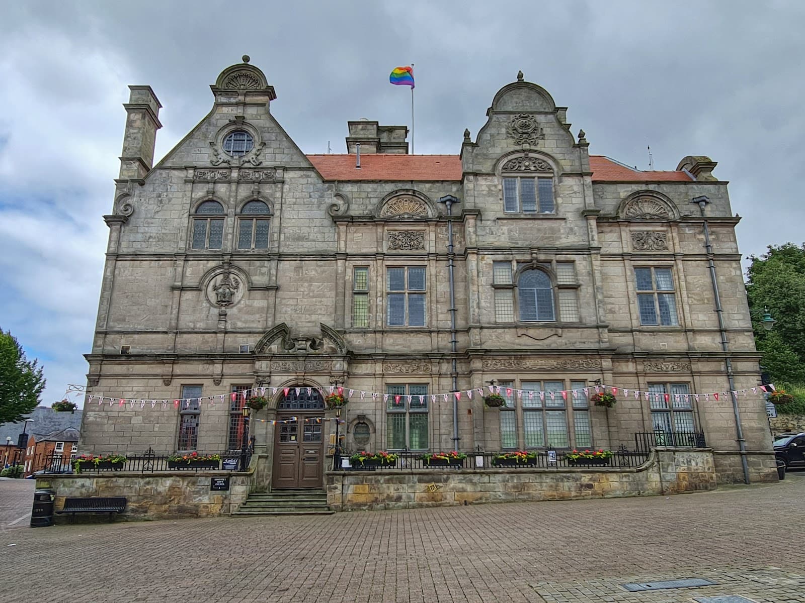
Welsh Border Villages
Knighton, Ludlow, Hay-on-Wye
Discover charming market towns and villages steeped in history, offering local culture and cozy pubs.
Plans like a pro.
Thinks like you
Planning Your Visit
Embrace the Long Haul
Borderlands Logistics
Best Times
Insider Tips
from TikTok, Instagram & Reddit
Was Shropshire and Herefordshire Ever Welsh?
Hi guys. I've been researching my family history and have come across people with Welsh surnames (Powis, Williams, Davies) who were born in Herefordshire and Shropshire in the 18th century. Were these counties ever considered as being Welsh, especially with them being right on…
🗺️ Plan Your Sections
Don't try to hike it all at once! Break it down into manageable sections.
🥾 Sturdy Footwear is a Must
The terrain varies greatly; good hiking boots are essential for comfort and safety. :athletic_shoe:
📱 Download Offline Maps
Signal can be patchy. Ensure you have offline maps for navigation. :iphone:
💧 Carry Plenty of Water
Water sources can be scarce between villages. Stay hydrated! :droplet:
Tips
from all over the internet
🗺️ Plan Your Sections
Don't try to hike it all at once! Break it down into manageable sections.
🥾 Sturdy Footwear is a Must
The terrain varies greatly; good hiking boots are essential for comfort and safety. :athletic_shoe:
📱 Download Offline Maps
Signal can be patchy. Ensure you have offline maps for navigation. :iphone:
💧 Carry Plenty of Water
Water sources can be scarce between villages. Stay hydrated! :droplet:
📚 Get a Good Guidebook
Detailed maps and descriptions are invaluable for planning and navigation. 📚
What Travellers Say
Reviews Summary
Hikers praise Offa's Dyke Path for its rich history, stunning varied landscapes, and the unique experience of walking the border between England and Wales. The sense of accomplishment from completing sections or the entire trail is a major draw. However, some find the navigation challenging in certain areas and note the infrequent public transport, requiring meticulous planning.
""
Andy Lambert
What People Like
What People Dislike
Frequently Asked Questions
🚇 🗺️ Getting There
Access points are numerous along the 177-mile trail. Major towns like Oswestry, Knighton, and Hay-on-Wye are good starting points and are accessible by train or bus. Consider which section you want to hike first and plan your transport accordingly.
Yes, many sections are accessible, but public transport can be infrequent in rural areas. Research bus and train routes for your chosen section in advance. Taxis are an option but can be costly.
Parking is available in many villages and at trailheads, but availability can vary. For multi-day hikes, consider arranging transport back to your starting point or using a luggage transfer service.
Many hikers use a combination of local buses, trains, and pre-booked taxis. Some services offer luggage transfer, which can be very convenient for multi-day treks.
Sections around the Shropshire Hills, like those near Church Stretton or Craven Arms, offer stunning scenery and are generally well-signposted, making them good for beginners.
🎫 🎫 Tickets & Entry
No, Offa's Dyke Path is a public right of way and is free to access. There are no tickets or entry fees required. 🎟️
No permits are required to walk the Offa's Dyke Path. It's a long-distance national trail open to everyone. 🎟️
The path is open 24/7, year-round. However, daylight hours and weather conditions will significantly impact your hiking experience. :clock1:
While there isn't one central visitor center, information points and ranger offices can be found in some of the larger towns along the route, such as Knighton. :informationdeskperson:
Yes, booking accommodation in advance is highly recommended, especially during peak season. Options include campsites, B&Bs, guesthouses, and hotels in villages along the route. 🛏️
🎫 🧭 Onsite Experience
A good Ordnance Survey map (Explorer series) and compass are essential. Many hikers also use GPS devices or smartphone apps with downloaded offline maps for backup.
The path is 177 miles long. Most people take 10-14 days to complete it, walking around 15-20 miles per day. However, many choose to hike it in shorter sections over multiple trips.
The terrain is varied, including rolling hills, moorland, woodlands, and farmland. You'll encounter ascents and descents, muddy sections, and rocky paths. Sturdy footwear is crucial. :athletic_shoe:
Facilities are limited and mainly found in villages and towns. Carry sufficient water and snacks, and be prepared for long stretches without amenities.
Dogs are generally welcome on Offa's Dyke Path, but they must be kept on a lead, especially in fields with livestock. Always check local signage. 🐕
🍽️ 🍽️ Food & Dining
Villages and towns along the route offer pubs, cafes, and small shops for supplies. Plan your stops as services can be spread out.
Directly on the path, options are scarce. You'll typically need to detour into villages or towns to find pubs and eateries.
Yes, most villages have small convenience stores or bakeries where you can purchase items for packed lunches.
Border towns like Ludlow and Hay-on-Wye offer a good range of pubs, cafes, and restaurants, from traditional pub fare to more upscale dining. :knifeforkplate:
Wild camping is generally not permitted along the path without landowner permission. It's best to use designated campsites or book accommodation.
📸 📸 Photography
The Shropshire Hills, particularly the Long Mynd and Stiperstones, offer dramatic landscapes. Views from the higher sections of the Dyke itself, especially at sunrise or sunset, are spectacular. :camerawithflash:
Golden hours (early morning and late afternoon) provide the best light for landscape photography. Misty mornings can also create atmospheric shots. :sunriseovermountains:
The Dyke itself, especially where it's most prominent, is a key subject. Also, look out for ancient hill forts, charming villages, and panoramic viewpoints. :camerawithflash:
A wide-angle lens for landscapes, a telephoto lens for distant details, and a sturdy tripod are useful. Don't forget extra batteries and memory cards! :camerawithflash:
Yes, the path passes through varied habitats that are home to diverse wildlife. Be patient and respectful, and you might capture some great shots of birds, deer, or other animals. 🐦


Social
from TikTok, Instagram & Reddit