Leake Mounds Interpretive Trail
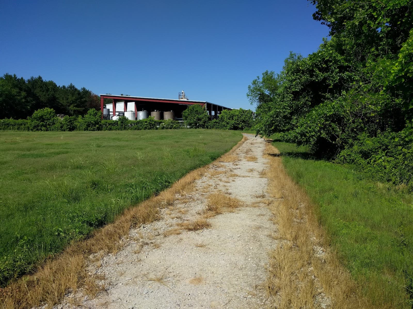
Explore the history of the Swift Creek Culture through interpretive signs on a gravel trail, offering a glimpse into prehistoric life.
Highlights
Must-see attractions

Social
From TikTok & Reddit
Best Time
Fewer crowds, cooler temperatures
Leake Mounds Interpretive Trail
Best Time
Fewer crowds, cooler temperatures
Highlights
Must-see attractions
Explore the history of the Swift Creek Culture through interpretive signs on a gravel trail, offering a glimpse into prehistoric life.
"Disappointing for many, but offers historical insights for dedicated prehistory enthusiasts."
🚶♀️ Wear Comfortable Shoes
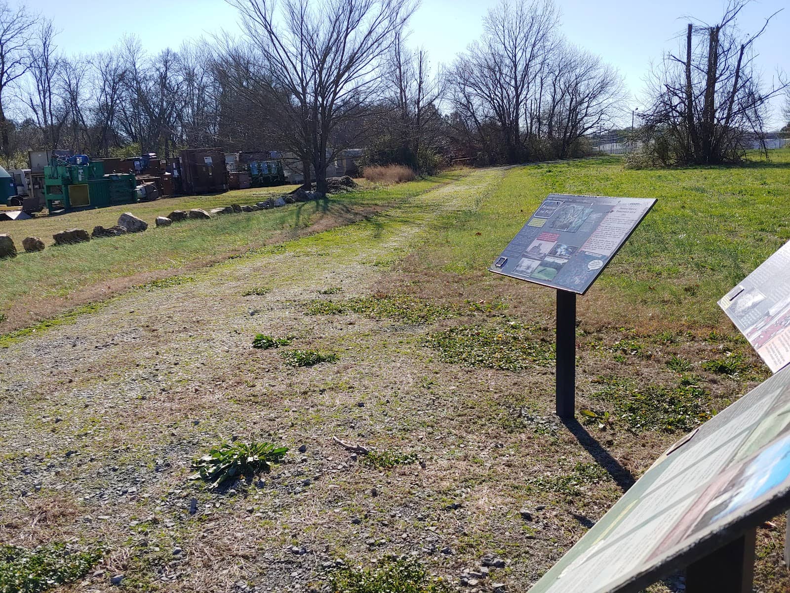
Crushed gravel path requires sturdy footwear. Consider waterproof boots if rain is expected. :athletic_shoe:
☀️ Bring Sun Protection
Limited shade on the trail; hats and sunscreen are essential for a comfortable walk. :sunwithface:
Quick Facts
Hours
Rating
3.3 · 22 reviews
Type
Park
Highlights
Discover the most iconic attractions and experiences
Interpretive Signs
18 informative panels detail Swift Creek Culture history, archaeological finds, and local Native American life.
Riverwalk Connector
Near the Etowah River
A pleasant walk alongside the river, offering a quieter experience away from the main trail.
Historical Context
Learn about the Middle Woodland period (300 BC - 600 AD) and the Swift Creek Culture's presence.
Plans like a pro.
Thinks like you
Planning Your Visit
Manage Expectations for Leake Mounds
Best Access Point & Trail Conditions
Best Times
Insider Tips
from TikTok, Instagram & Reddit
🚶♀️ Wear Comfortable Shoes
Crushed gravel path requires sturdy footwear. Consider waterproof boots if rain is expected. :athletic_shoe:
☀️ Bring Sun Protection
Limited shade on the trail; hats and sunscreen are essential for a comfortable walk. :sunwithface:
💧 Check Weather Forecast
The trail can get muddy after rain, especially near the highway underpass. ☂️
📱 Scan QR Codes
Many signs have QR codes for deeper historical insights. Bring your phone! :iphone:
Tips
from all over the internet
🚶♀️ Wear Comfortable Shoes
Crushed gravel path requires sturdy footwear. Consider waterproof boots if rain is expected. :athletic_shoe:
☀️ Bring Sun Protection
Limited shade on the trail; hats and sunscreen are essential for a comfortable walk. :sunwithface:
💧 Check Weather Forecast
The trail can get muddy after rain, especially near the highway underpass. ☂️
📱 Scan QR Codes
Many signs have QR codes for deeper historical insights. Bring your phone! :iphone:
🚫 No Amenities
No picnic areas, restrooms, or vending machines. Plan accordingly. :noentrysign:
What Travellers Say
Reviews Summary
Reviews for Leake Mounds Interpretive Trail are largely negative, with many visitors finding it disappointing and not worth the trip. While the historical information provided by the signs is appreciated by some, the lack of scenic beauty, muddy conditions, and absence of actual mounds or artifacts lead to frequent comparisons with better alternatives. It's considered a niche destination for those deeply interested in local prehistory rather than a general tourist attraction.
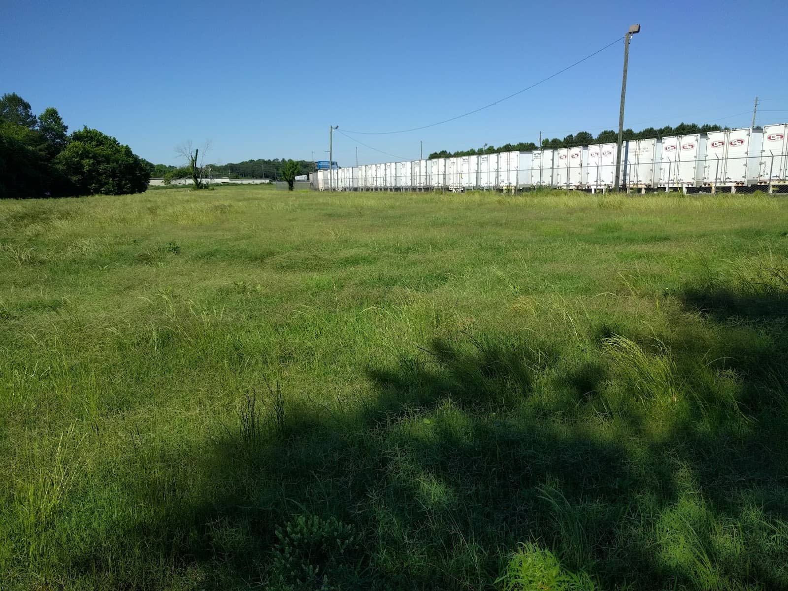
"This is not a worthwhile destination. I was desperate for a family hike so I took the family here. It is about a 1.5 walk on a crushed gravel path with no shade and no sights. The first bit is through grassland, then under the highway that will be very muddy if it has rained in the last 48 hours to a circle path in a field. Then back the way you came. There are some infographic panels with some history on the area's early residents, but it is nothing worth making the trip for. The mounds they refer to have long been demolished to build roadbeds. Just trust me, and I love parks/hikes, it is a waste of time. Go hike Cooper's furnace, Pine Mountain, or Red Top Mountain instead. Or bike/hike the nearby and much better Etowah Riverwalk."
George Byram
"Leake Mounds is another even earlier native American site built by the Swift Creek Culture and dating to what is known as the Middle Woodland period. This goes back to the prehistoric era between 300 BC and 600 AD.
The interpretative trail of 18 markers covers around three kilometres. It details the archaeological finds discovered during digs, and what they mean for our understanding of this period of history.
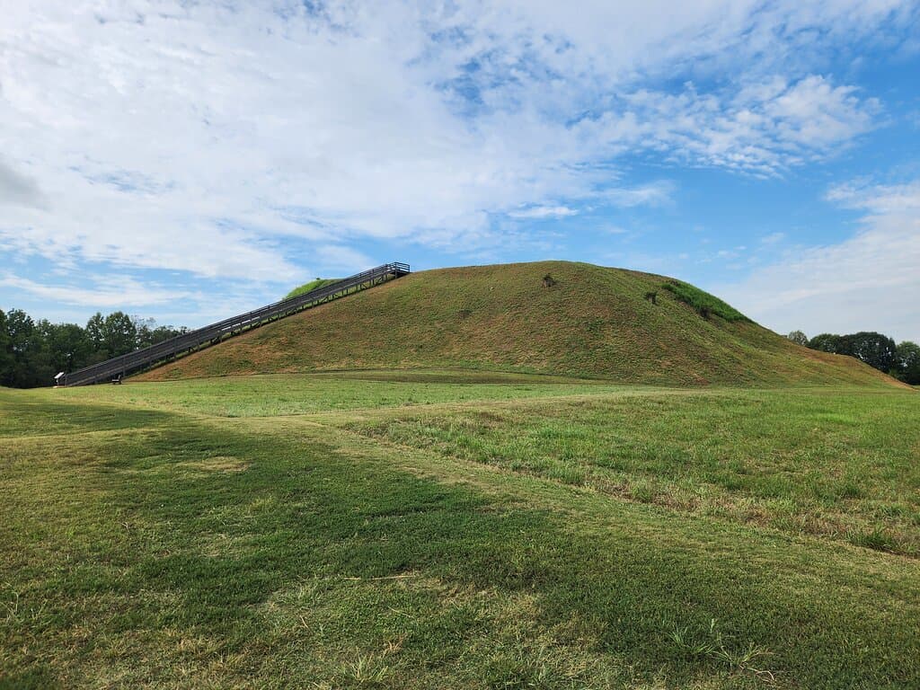
The trail takes in the remains of three mounds, as well as a large semi-circular ditch or moat, and a midden – a prehistoric landfill site."
Ankit Patel
"An informative walk through the history of the Native population that called this particular part of the south home. Ruffly every two hundred yards there is another sign with fun facts and pictures. I would suggest it for small groups of highschool or older people. They have large feilds but no picnic area, vending machines, restrooms, or playground yet.
A nice place to take a quiet walk to either next to the river or to the train tracks. Very interesting signs and what is there is well maintained right off the main road and it's open from sun up to sun down."
Travis Croy
What People Like
What People Dislike
Frequently Asked Questions
🚇 🗺️ Getting There
The trail is accessible from the Riverwalk Connector, which is near the main road. Some visitors note a .5-mile walk along the highway from this access point, which can be tense.
Parking is available at the Riverwalk Connector, though it's not a dedicated lot for the trail itself.
While the Riverwalk Connector is a common starting point, the trail is described as winding around industrial areas, suggesting other potential, though less recommended, access points.
The trail is right off the main road, but the first sign can be confusing and not directly at the start of the trail.
Specific driving directions can vary, but it's generally located off a main road with access via the Riverwalk Connector.
🎫 🎫 Tickets & Entry
No, Leake Mounds Interpretive Trail is free to access. This is one of its few redeeming factors according to some visitors.
The trail is open from sun up to sun down, offering flexibility for visitors.
There is no admission fee to explore the Leake Mounds Interpretive Trail.
As it's open from sun up to sun down, you can visit on holidays, but be aware of potential local events that might affect access or crowds.
No booking is required for individuals or small groups to visit the Leake Mounds Interpretive Trail.
🎫 🧭 Onsite Experience
You'll find 18 interpretive signs with historical information and QR codes, the remains of three mounds, a large semi-circular ditch, and a midden. +1
While it's a walk, it's described as having no shade, no sights, and can be muddy. It's better suited for older children interested in history than for a typical family outing.
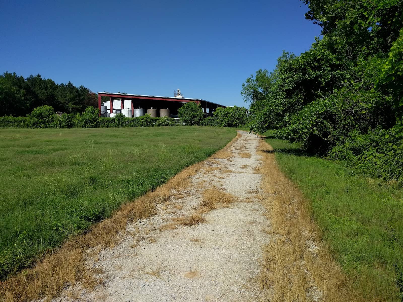
The trail is about 1.5 miles on crushed gravel, with sections through grassland and under a highway. It can be muddy and lacks significant shade. +1
While the trail details archaeological finds, there are no visible mounds or artifacts on display; the history is conveyed through interpretive signs.
Expect crushed gravel, grassland, and potentially muddy areas, especially under the highway overpass. +1
🍽️ 🍽️ Food & Dining
No, there are no picnic areas, vending machines, or food services available at Leake Mounds.
Unfortunately, there are no designated picnic areas at Leake Mounds.
You'll need to venture off-site for food options, as there are no dining facilities at the trail itself.
No, Leake Mounds does not have any cafes or snack bars.
Dining options would be in nearby towns; the trail itself offers no food services.
📸 📸 Photography
Photo opportunities are limited, focusing on the interpretive signs and the surrounding natural landscape, which can be scenic along the river.
While it offers some natural scenery, especially near the river, it's not considered a prime location for extensive nature photography due to the trail's character.
Yes, you can photograph the historical signs, and many feature QR codes for further information.
A standard camera or smartphone is sufficient. Given the limited scenic appeal, extensive gear is likely unnecessary. :camerawithflash:
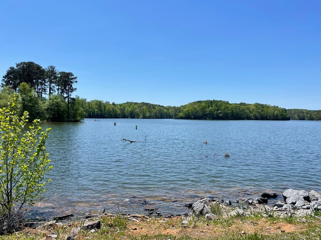
The walk alongside the river might offer some pleasant views, but the trail itself is not known for dramatic scenic viewpoints.




Social
from TikTok, Instagram & Reddit