Withlacoochee State Trail
A 46-mile paved rail-trail offering flat, scenic rides and walks through Florida's countryside. Perfect for biking, hiking, and enjoying nature.
Highlights
Must-see attractions

Social
From TikTok & Reddit
Best Time
Cooler temps, fewer bugs
Withlacoochee State Trail
Best Time
Cooler temps, fewer bugs
Highlights
Must-see attractions
A 46-mile paved rail-trail offering flat, scenic rides and walks through Florida's countryside. Perfect for biking, hiking, and enjoying nature.
🗺️ Plan Your Route
Utilize a Withlacoochee State Trail map to find trailheads and plan your ride or hike. :iphone:
💧 Stay Hydrated
Carry plenty of water, especially during warmer months. Services can be spaced out. :droplet:
Quick Facts
Highlights
Discover the most iconic attractions and experiences
Historic Bridges
Various points along the trail
Cross charming old railroad bridges, offering unique perspectives and photo opportunities.
Croom Motorcycle Area
Near Brooksville
A designated area for off-road motorcycle enthusiasts, offering a different kind of trail experience.

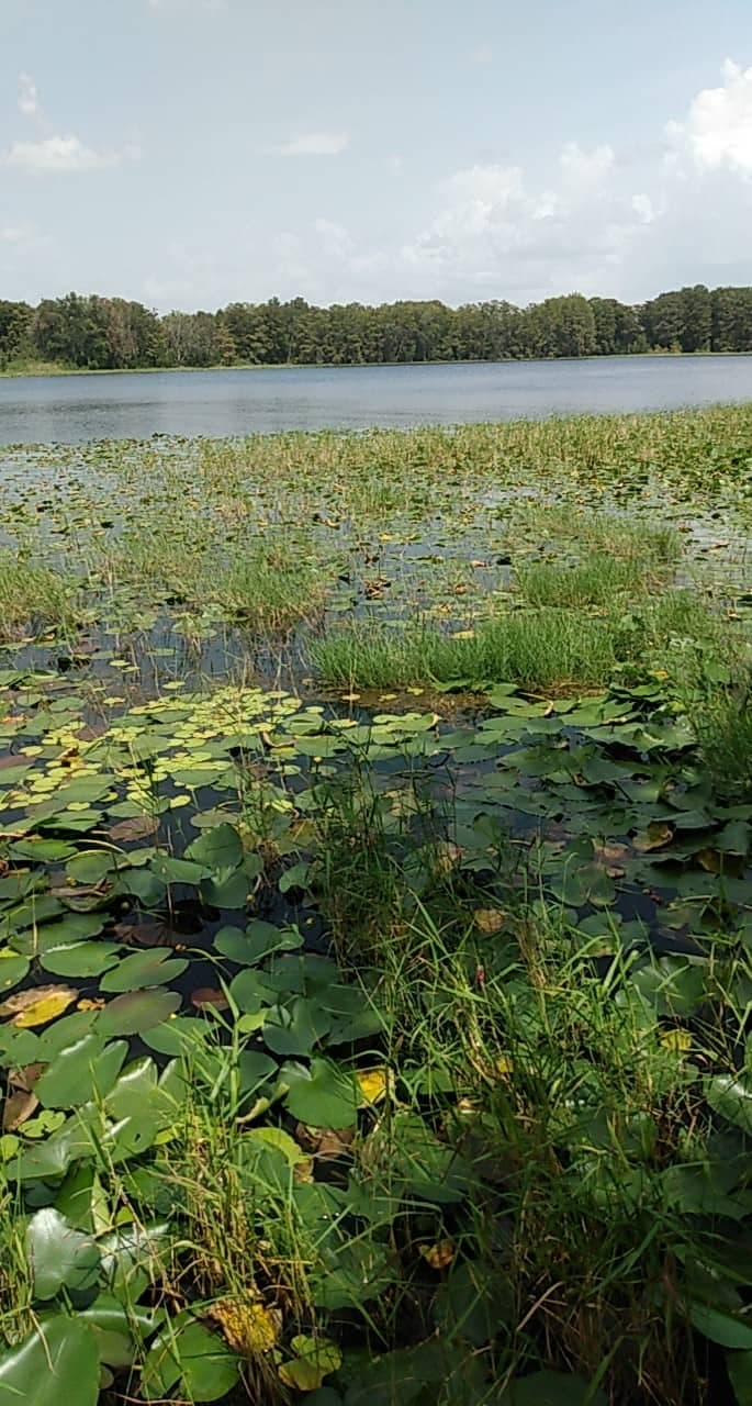
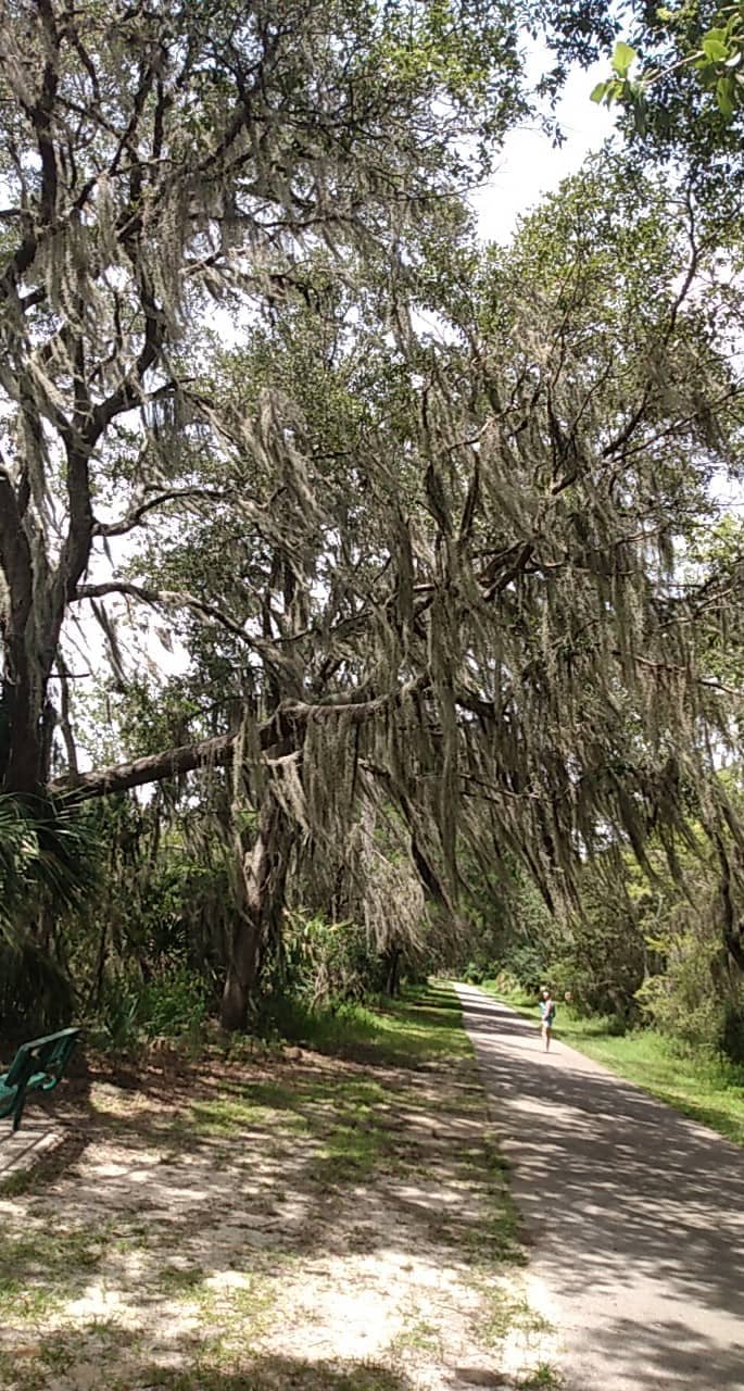
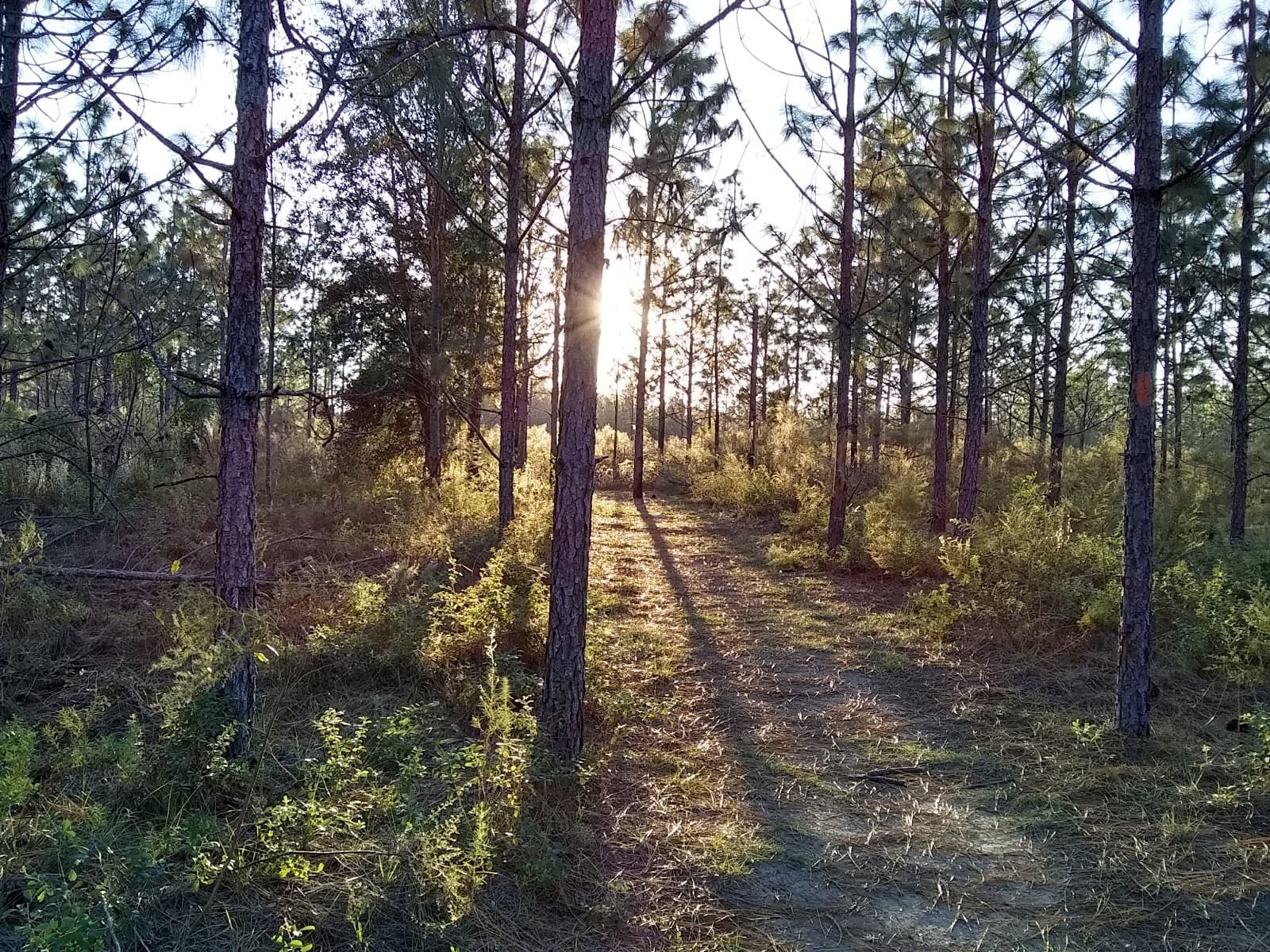
Scenic Rural Landscapes
Throughout the trail
Enjoy miles of flat, paved path winding through Florida's picturesque countryside.
Plans like a pro.
Thinks like you
Planning Your Visit
Trail Etiquette & Safety
Trail Access & Conditions
Best Times
Insider Tips
from TikTok, Instagram & Reddit
What's the best paved bike trails in FL? Planning a road trip thru the State and could use some advice. 🙏
Withlacoochee Rails to Trails now goes through 4 counties with the new connection at the north end in Dunnellon. 46 miles plus the new 15. Beautiful canopies and waterside riding. You'll see alot of wildlife early in the am. Everything from gators (Dunnellon, Inverness and…
🗺️ Plan Your Route
Utilize a Withlacoochee State Trail map to find trailheads and plan your ride or hike. :iphone:
💧 Stay Hydrated
Carry plenty of water, especially during warmer months. Services can be spaced out. :droplet:
MY Experience Bicycling In Ocala , Florida (ITS HORRIBLE!)
Just picked up biking literally yesterday, and wow, it’s so fun. So today, I decided to bike all the way to the next city. Big mistake, I guess… First, I had to figure out where the hell I was in a suburban maze (pro tip: I never figured it out, had to find the main road).…
Climbing and hiking in Florida
Hello! I will be visiting Florida (from the UK) in May and want to explore the outdoor and indoor climbing opportunities. I will be in Tampa for a few days and then I'll have a week or so to do whatever I want. I saw large green sections on Google Maps I hope that means a…
👟 Wear Comfortable Shoes
Paved surface is great for biking and walking, but good footwear is key for comfort. :athletic_shoe:
🏍️ Croom Area Awareness
If not riding motorcycles, be aware of the Croom Motorcycle Area and its users. 🏍️
Where to stay in Florida in February.
Looking for recommendations. Would like to stay for six weeks, work remotely and do lots of road biking. Don’t need to be near a beach, just somewhere affordable with nice temps and biking opportunities.
Tips
from all over the internet
🗺️ Plan Your Route
Utilize a Withlacoochee State Trail map to find trailheads and plan your ride or hike. :iphone:
💧 Stay Hydrated
Carry plenty of water, especially during warmer months. Services can be spaced out. :droplet:
👟 Wear Comfortable Shoes
Paved surface is great for biking and walking, but good footwear is key for comfort. :athletic_shoe:
🏍️ Croom Area Awareness
If not riding motorcycles, be aware of the Croom Motorcycle Area and its users. 🏍️
🤝 Trail Etiquette
Yield to faster users and hikers. Be courteous to everyone on the trail. :handshake:
What Travellers Say
Reviews Summary
Visitors praise the Withlacoochee State Trail for its extensive, well-maintained paved surface, making it ideal for long bike rides and walks. The flat terrain and scenic rural views are consistently highlighted as major positives. Some users note the limited services directly on the trail and the need to be aware of the Croom Motorcycle Area.
What People Like
What People Dislike
Frequently Asked Questions
🚇 🗺️ Getting There
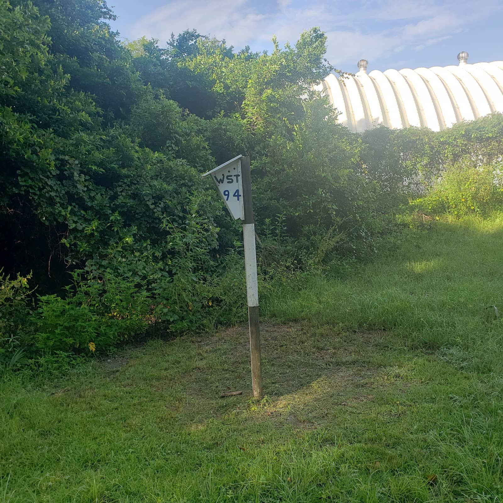
You can find numerous trailheads along the 46-mile paved path. Popular access points include those in Trilby, Ridge Manor, and Floral City. Checking a 'Withlacoochee State Trail map' or 'map of Withlacoochee trail' online will show you all available parking and access points.
Yes, most trailheads for the Withlacoochee State Trail offer dedicated parking areas. These are convenient for accessing the trail for biking, hiking, or running.
Absolutely! The trail spans multiple towns, including Trilby, Dade City, Ridge Manor, Floral City, and Inverness. This makes it easy to find an access point near you.
Driving is the most common way to reach the Withlacoochee State Trail. Use GPS to navigate to your preferred trailhead. Some sections might be accessible via local roads if you're coming from nearby communities.
Public transportation options are very limited for accessing the Withlacoochee State Trail. It's primarily designed for visitors who can drive to one of its many trailheads.
🎫 🎫 Tickets & Entry
No, the Withlacoochee State Trail is a public park and does not require an entrance fee. You can enjoy the paved path for free.
The Withlacoochee State Trail is generally open from sunrise to sunset. Always check with the Florida State Parks system for any specific hours or potential closures.
No permit is required for general use of the Withlacoochee State Trail for biking, walking, or running. However, specific areas like the Croom Motorcycle Area may have their own regulations.
While generally open, it's always wise to check for 'Withlacoochee State Trail closed' notices before your visit. Maintenance or weather can sometimes lead to temporary closures of specific sections.
Trailhead parking is typically first-come, first-served. There's no reservation system for parking spots on the Withlacoochee State Trail.
🎫 🚴 Onsite Experience
The Withlacoochee State Trail is a paved, asphalt surface, making it ideal for cycling, rollerblading, and walking. It's a 'rails to trails' conversion, meaning it's very flat.
The Withlacoochee State Trail is approximately 46 miles long, making it one of Florida's longest paved rail-trails. You can find a 'Withlacoochee State Trail mileage chart' online for detailed segment lengths.
Yes, the Withlacoochee Trail is excellent for a bike ride! Its flat, paved surface and long stretch make it perfect for leisurely rides or longer cycling tours. Many people enjoy a 'Withlacoochee trail bike ride'.
Restroom facilities are available at many of the larger trailheads along the Withlacoochee State Trail. It's advisable to check a 'Withlacoochee State Trail map' for their locations.
You might spot various Florida wildlife, including birds, turtles, and small mammals. Keep an eye out during your 'Withlacoochee hiking trails' adventure.
🍽️ 🍽️ Food & Dining
Dining options are limited directly on the trail itself. You'll find restaurants and cafes in the towns adjacent to the trailheads, such as Dade City or Inverness.
Yes, picnicking is a great option! Many trailheads have picnic tables. Pack your own food and enjoy a meal amidst the natural surroundings of the Withlacoochee State Trail.
Water fountains are not consistently available along the entire length of the trail. It's highly recommended to carry your own water supply.
You'll find a mix of local diners, casual restaurants, and some fast-food options in the towns bordering the Withlacoochee State Trail.
Delivery services are unlikely to reach directly onto the trail. It's best to plan your meals before or after your visit.
📸 📸 Photography
Look for scenic overlooks, historic bridges, and areas with lush vegetation. The changing light throughout the day can create beautiful photographic opportunities.
It can be challenging to take photos while actively biking. Consider stopping at designated pull-offs or trailheads to safely capture your shots.
Early morning and late afternoon offer the best light for photography, with softer shadows and warmer tones.
The old railroad bridges are iconic photo spots. Also, keep an eye out for unique flora and fauna, and any interesting trailside art or historical markers.
Drone usage is subject to Florida State Park regulations. It's best to check the official Florida State Parks website for current rules regarding drone operation.


Social
from TikTok, Instagram & Reddit