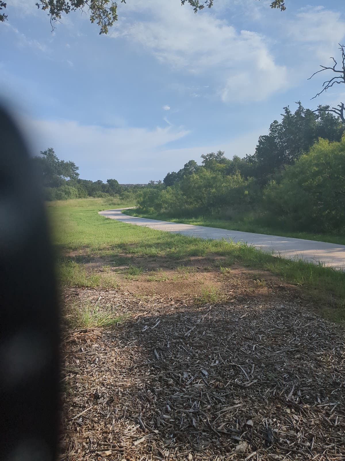
San Gabriel River Trail
A 38-mile paved multi-use trail offering a scenic and accessible route through Los Angeles County for cyclists and pedestrians.
Highlights
Must-see attractions

Social
From TikTok & Reddit
Best Time
Fewer crowds, cooler temps
San Gabriel River Trail
Best Time
Fewer crowds, cooler temps
Highlights
Must-see attractions
A 38-mile paved multi-use trail offering a scenic and accessible route through Los Angeles County for cyclists and pedestrians.
"The San Gabriel River Trail is a fantastic, long paved path perfect for cycling and getting around."
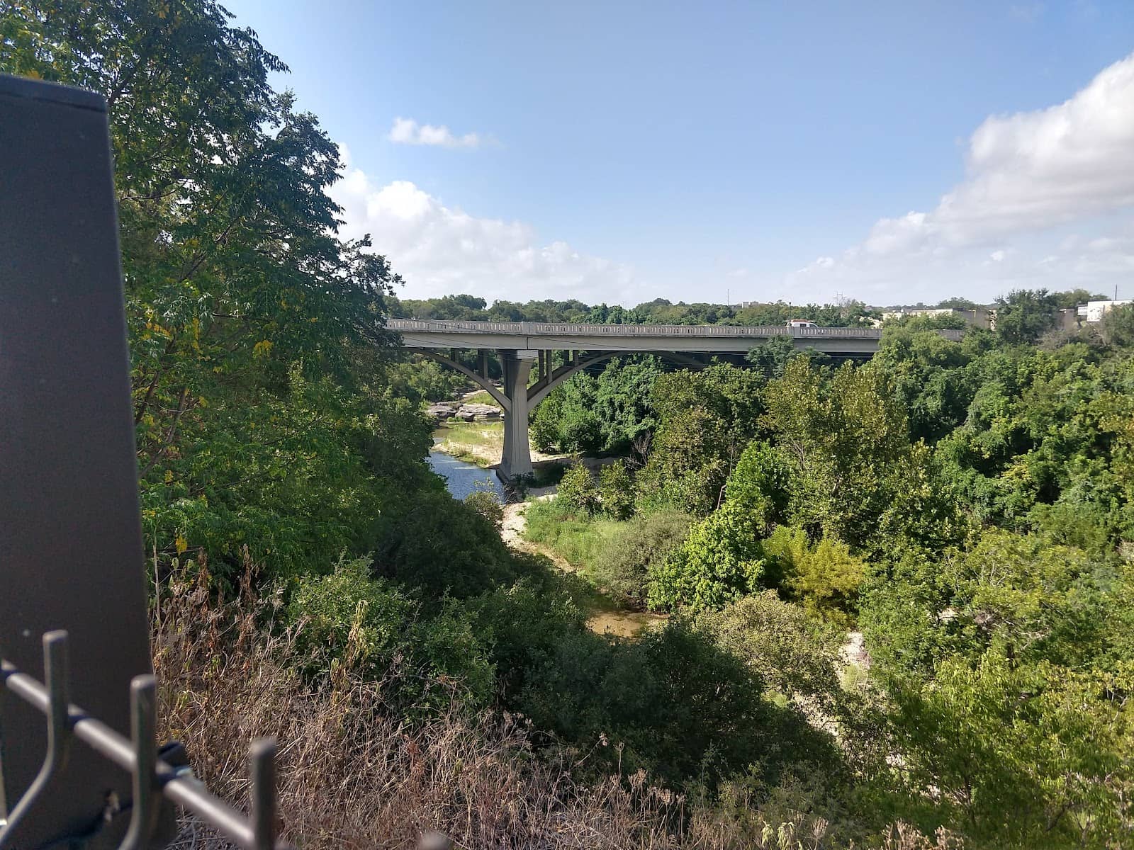
🗺️ Check the Trail Map
Use a 'San Gabriel River Bike Trail map' to plan your route and find access points. Essential for navigation! :world_map:
💧 Stay Hydrated!
Bring plenty of water, especially during warmer months. Water fountains can be scarce. :droplet:
Quick Facts
Rating
4.5 · 2 reviews
Highlights
Discover the most iconic attractions and experiences
Whittier Narrows Recreation Area
South El Monte
Sprawling park with lake views, perfect for a leisurely start or break on the San Gabriel River Bike Trail.
Pfeiffer Park
Pico Rivera
A scenic stretch offering a peaceful escape, ideal for a refreshing bike ride along the San Gabriel River.
El Dorado Nature Center
Long Beach
A beautiful urban oasis with walking paths and wildlife, accessible from the southern end of the trail.
Plans like a pro.
Thinks like you
Planning Your Visit
Trail Etiquette & Safety
Best Entry Points & Parking
Best Times
Insider Tips
from TikTok, Instagram & Reddit
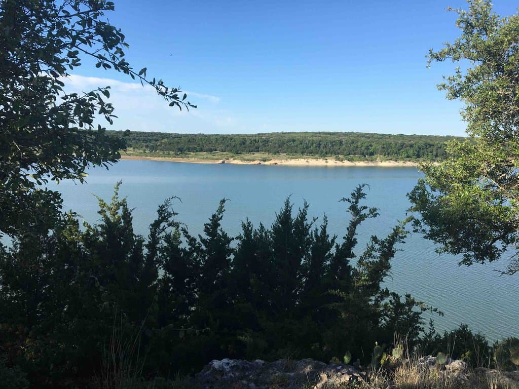
Have any of you rode around Lake Georgetown? Curious what the path is like
I see on Strava that there’s a path around Lake Georgetown, but I can’t tell what the conditions are. I have a road bike with light duty gravel tires. If you’ve been on this path, do you think that setup will work or would I need something more capable of rocky or rough trails?…
🗺️ Check the Trail Map
Use a 'San Gabriel River Bike Trail map' to plan your route and find access points. Essential for navigation! :world_map:
💧 Stay Hydrated!
Bring plenty of water, especially during warmer months. Water fountains can be scarce. :droplet:
Goodwater Loop Planning
Good afternoon y'all! I'm planning to hike the Goodwater loop for the first time, and I just wanted to follow up on some of the info from the trail database: Do I just park my car at one of the Army Corps parks? Do I need to call ahead and make any sort of reservations? Any…
Georgetown Hiking Club: Georgetown Lake Overlook Park Hike, tomorrow morning starting at 9:15am.
Tomorrow we will hike around Georgetown lake starting from overlook Park. We will hike about a mile South to the bottom of the Dam, then back up to the starting point. Then we'll hike about a mile North and then loop back. There is a bathroom near the starting point. I…
🚴♀️ Bike Maintenance Check
Ensure your bike is in good condition before you go. A quick check can prevent issues on the San Gabriel River Bike Path. 🛠️
☀️ Sun Protection is Key
Wear sunscreen, a hat, and sunglasses. The trail can be exposed with little shade. :sunwithface:
Georgetown Lake Help
I have some young nephews staying with me this weekend and was wondering if there was any ideas of how to best experience Georgetown lake. What entrance do I go in? What parking lot is a good start? Easy novice hikes? Great places to throw a ball and be by the lake?
Tips
from all over the internet
🗺️ Check the Trail Map
Use a 'San Gabriel River Bike Trail map' to plan your route and find access points. Essential for navigation! :world_map:
💧 Stay Hydrated!
Bring plenty of water, especially during warmer months. Water fountains can be scarce. :droplet:
🚴♀️ Bike Maintenance Check
Ensure your bike is in good condition before you go. A quick check can prevent issues on the San Gabriel River Bike Path. 🛠️
☀️ Sun Protection is Key
Wear sunscreen, a hat, and sunglasses. The trail can be exposed with little shade. :sunwithface:
👟 Comfortable Footwear
Even if you're biking, comfortable shoes are a must for any stops or exploring parks. :athletic_shoe:
What Travellers Say
Reviews Summary
The San Gabriel River Trail is praised for its extensive length and paved surface, making it ideal for long rides and commuting. While some find it lacks natural beauty in certain sections, its accessibility and connectivity are major draws for cyclists and runners. Occasional issues with debris or maintenance are noted, but overall, it's a valuable urban trail.
""
Gina Krupsha Garcia
""
TJ Weaver
What People Like
What People Dislike
Frequently Asked Questions
🚇 🗺️ Getting There
The San Gabriel River Trail has numerous access points. Popular ones include Whittier Narrows Recreation Area, Legg Lake, and various parks along its length. Searching for 'San Gabriel River Bike Trail entry points' will help you find the best starting location for your needs.
Yes, many parks and recreation areas along the trail offer parking. Whittier Narrows Recreation Area is known for its ample parking. Check a 'San Gabriel River Bike Trail map' for specific parking locations.
While direct public transport to every point might be limited, some Metro bus lines run parallel to sections of the trail. It's best to check local transit routes for stops near your desired access point.
You can find detailed 'San Gabriel River Bike Trail maps' online through county park websites, cycling apps like Strava, or by searching 'San Gabriel River Trail map' on Google Maps.
Yes, the San Gabriel River Bike Trail is generally flat and paved, making it suitable for beginners and families. However, be mindful of other users and traffic at intersections.
🎫 🎫 Tickets & Entry
The San Gabriel River Bike Trail itself is free to use. However, some parks that serve as access points, like Whittier Narrows Recreation Area, may have parking fees.
The trail is generally open from dawn to dusk. Park access points may have specific hours, so it's advisable to check with the respective park authorities.
No special permits are typically required for recreational cycling on the San Gabriel River Bicycle Path. It's a public multi-use trail.
Bike rental options can vary. It's recommended to search online for 'bike rentals near San Gabriel River Trail' or check with local bike shops in cities like Whittier or Long Beach.
Yes, the San Gabriel River Trail is accessible year-round. However, weather conditions can affect your experience, with cooler months being more pleasant for riding.
🎫 🚴♀️ Onsite Experience
The San Gabriel River Bike Trail is primarily a paved, multi-use path. It's well-maintained and suitable for road bikes, hybrids, and mountain bikes.
The San Gabriel River Trail is approximately 38 miles long, stretching from the San Gabriel Mountains down to the Pacific Ocean in Long Beach.
Restroom facilities are available at various parks and recreation areas along the trail, such as Whittier Narrows and Legg Lake. It's wise to check a 'San Gabriel River Trail map' for their locations.
The trail is generally considered safe, especially during daylight hours and in more populated sections. However, like any urban trail, it's always good to be aware of your surroundings and ride with a buddy if possible.
You'll experience a mix of urban landscapes, park areas, and some natural scenery, especially near the nature centers. The southern sections offer views closer to the coast.
🍽️ 🍽️ Food & Dining
Yes, you'll find numerous dining options in the cities adjacent to the trail, such as El Monte, Pico Rivera, and Long Beach. Many parks also have picnic areas.
Water fountains are available at some parks and recreation areas, but they are not consistently spaced. It's highly recommended to carry your own water supply.
Absolutely! Parks like Whittier Narrows Recreation Area and Legg Lake offer excellent picnic facilities, making them ideal stops for a break.
📸 📸 Photography
Look for scenic overlooks in parks like Whittier Narrows, bridges, and the natural areas within El Dorado Nature Center. The golden hour light can be beautiful.
It's best to pull over to a safe spot to take photos. The trail can be busy, and stopping abruptly can be dangerous. Many parks offer convenient pull-off areas.

Social
from TikTok, Instagram & Reddit