Glassford Hill Summit Trail
Hike to panoramic summit views on a rocky, switchbacking trail in Prescott Valley, Arizona.
Highlights
Must-see attractions

Social
From TikTok & Reddit
Best Time
Fewer crowds, cooler temps
Glassford Hill Summit Trail
Best Time
Fewer crowds, cooler temps
Highlights
Must-see attractions
Hike to panoramic summit views on a rocky, switchbacking trail in Prescott Valley, Arizona.
"The panoramic view at the top was worth the hike."
🥾 Supportive Footwear is Key
Loose rocks make good hiking shoes essential for stability on this steep, rocky trail.
💧 Hydration is Crucial
Bring at least 64 oz of water per person; the elevation can make breathing difficult.
Quick Facts
Hours
Rating
4.6 · 191 reviews
Type
Hiking Area
Highlights
Discover the most iconic attractions and experiences
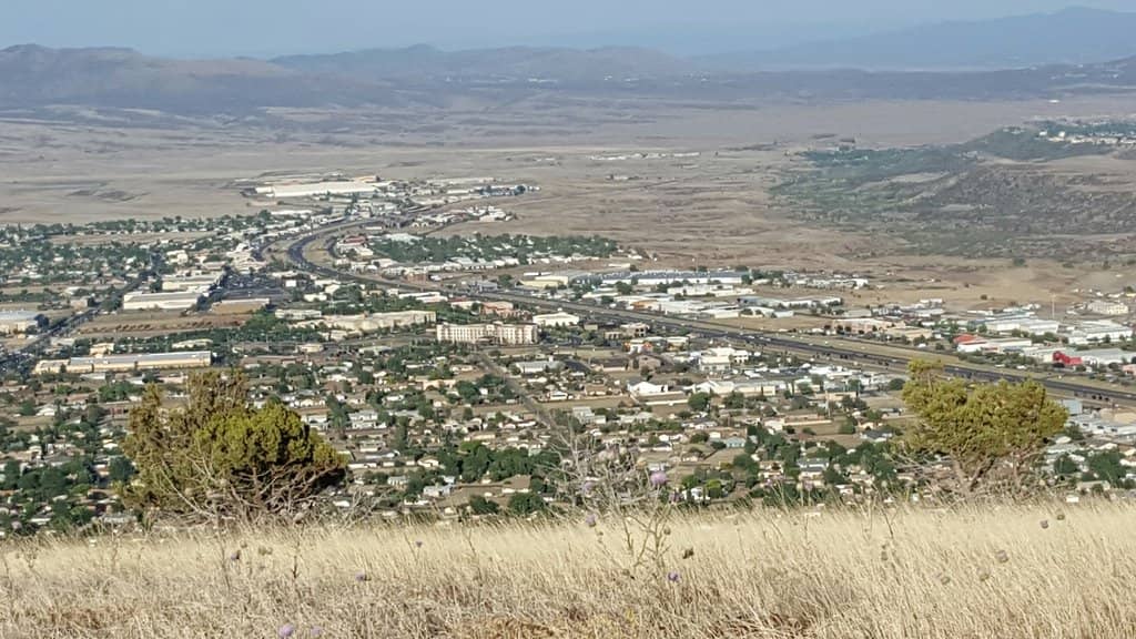
Panoramic Summit Views
Summit
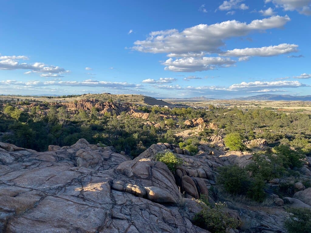
Breathtaking 360-degree vistas of Prescott Valley, Watson Lake, and surrounding landscapes.
Tumb Butte Overlook
Past the cell towers
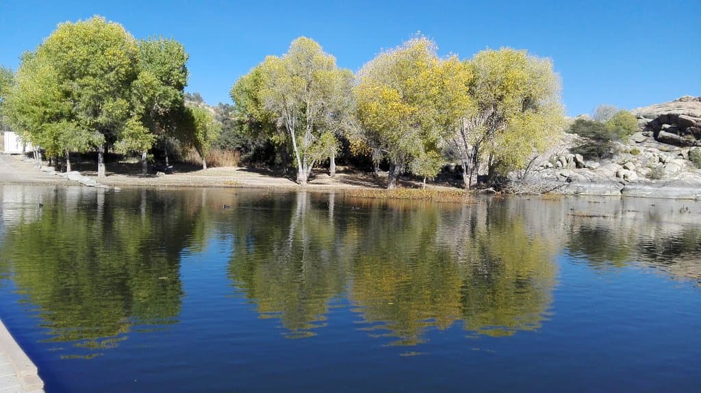
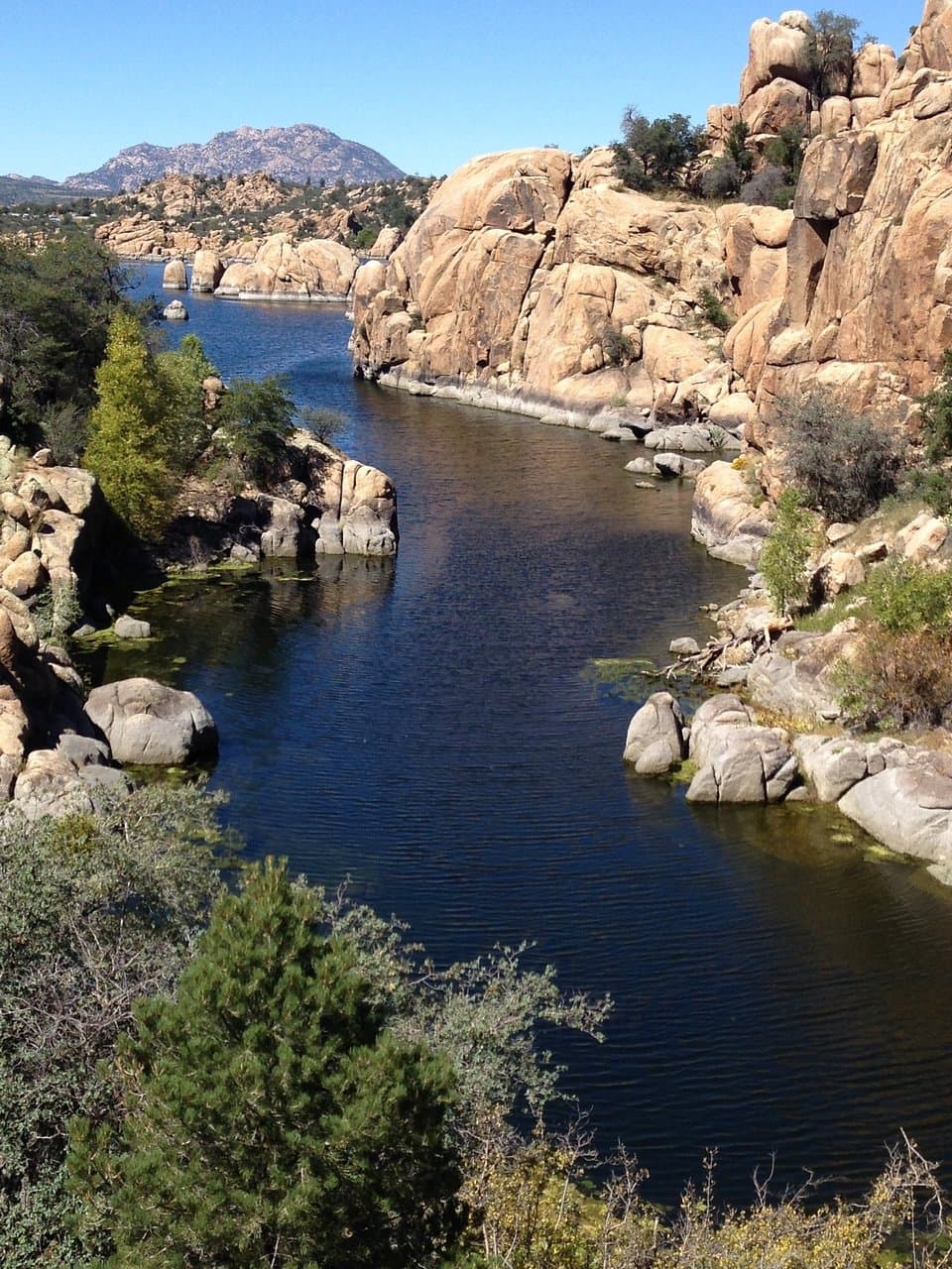
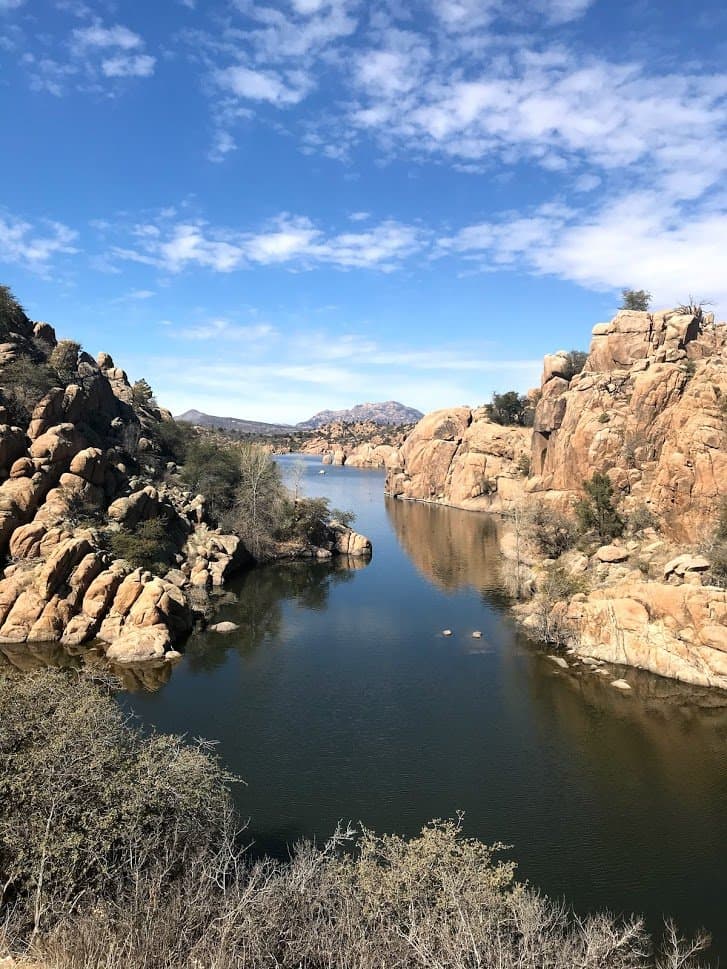
A hidden trail reveals a spectacular view of Tumb Butte, Watson Lake, and the Granite Dells.

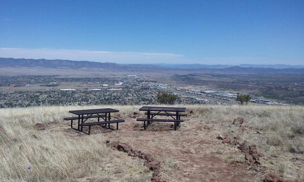
Picnic Table Rest Stop
Approximately 1 mile in
A welcome spot to rest and refuel with a view, located at a switchback where the trail steepens.
Plans like a pro.
Thinks like you
Planning Your Visit
Trail Conditions & Gear
Best Time to Ascend
Best Times
Insider Tips
from TikTok, Instagram & Reddit
🥾 Supportive Footwear is Key
Loose rocks make good hiking shoes essential for stability on this steep, rocky trail.
💧 Hydration is Crucial
Bring at least 64 oz of water per person; the elevation can make breathing difficult.
☀️ Sun Protection Needed
Don't forget sunblock and a hat, as there's limited shade on the ascent.
📸 Hidden Viewpoint
Go past the cell towers to find a trail on the left for a spectacular, less-known view.
Tips
from all over the internet
🥾 Supportive Footwear is Key
Loose rocks make good hiking shoes essential for stability on this steep, rocky trail.
💧 Hydration is Crucial
Bring at least 64 oz of water per person; the elevation can make breathing difficult.
☀️ Sun Protection Needed
Don't forget sunblock and a hat, as there's limited shade on the ascent.
📸 Hidden Viewpoint
Go past the cell towers to find a trail on the left for a spectacular, less-known view.
🚗 Ample Parking & Restrooms
The parking lot is well-maintained and has restrooms available at the trailhead.
What Travellers Say
Reviews Summary
Visitors praise the Glassford Hill Summit Trail for its spectacular 360-degree summit views, which are consistently described as worth the hike. The well-maintained trail and trailhead amenities, including parking and restrooms, are appreciated. However, some find the double-track and rocky terrain less appealing, and the steep incline requires good physical preparation.
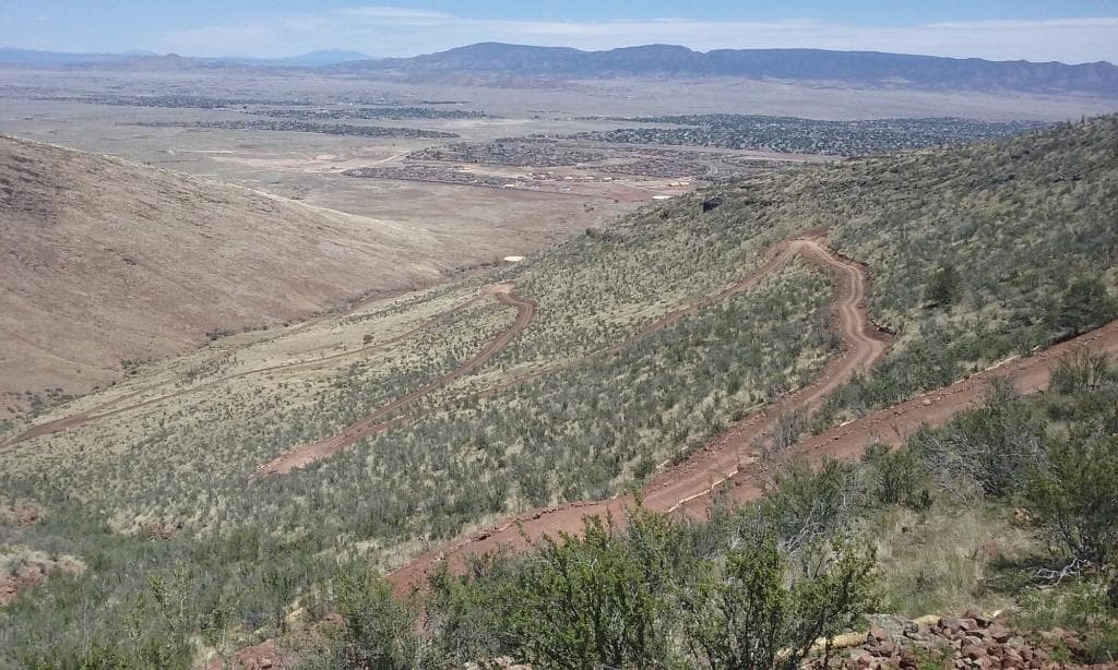
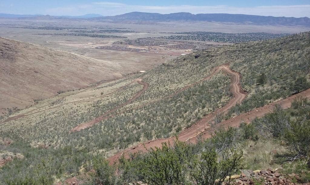
"Double track trail that has long switchbacks to the top. It's around 2.1 miles up, with a posted elevation gain of 940ft. Trail is rocky, with a considerable amount of loose rocks. I'm not a big fan of double track, or rocky trails, but the panoramic view at the top was worth the hike. And if you take the double track trail to the cell towers, go past the towers, on the left behind a tree, there's a trail that will take you to a spectacular view of Tumb Butte, Watson Lake and the Granite Dells. Stunning!"
Elizabeth M
"Great place for trail walking or hiking if you don't have time to leave town. Starts with a mild slope and gets progressively steeper the further you go. There was a picnic table about a mile in, a bit past the tanks at a switchback where it gets steeper again. That's as far as I got this day. The picture was taken at the picnic table."
Ted George
"This great trail is worth hiking, not really a lot of other hikers, although I went on a week day. 360 degrees views, a little challenging as you climb uphill, however,it’s worth visiting. Parking lot is well maintained as well as the trail itself."
Gabe Storm
What People Like
What People Dislike
Frequently Asked Questions
🚇 🗺️ Getting There
The most common trailhead is in Prescott Valley, accessible via Castle Canyon Mesa, passing some water towers. This route offers a clear path with switchbacks leading to the summit.
Yes, the trail is well-marked and maintained. There's plenty of parking at the trailhead, making it easy to locate.
GPS devices and phone apps should guide you to the trailhead. Many visitors report good cell signal (Verizon) along the trail.
Public transportation options to the trailhead are limited. Driving is the most convenient way to access Glassford Hill Summit Trail.
The drive from Prescott to the Glassford Hill Summit Trail trailhead in Prescott Valley is typically around 20-30 minutes, depending on traffic.
🎫 🎫 Tickets & Entry
No, the Glassford Hill Summit Trail is free to access. There are no admission fees required to hike the trail or enjoy the summit views.
The trail is generally open from dawn to dusk. It's an outdoor natural area, so there are no strict operating hours, but it's best to hike during daylight.
No advance booking is necessary. Glassford Hill Summit Trail is a public access trail, and you can visit anytime during daylight hours.
No permits are required for individuals or small groups hiking the Glassford Hill Summit Trail.
The trail is considered intermediate-level tough due to its steepness and rocky terrain. While accessible to many, it may be challenging for very young children or those with mobility issues.
🎫 🧭 Onsite Experience
The trail is approximately 2.1 miles to the summit, with an elevation gain of about 940 feet. The round trip can take 1.5 to 3 hours depending on your pace.
It's a double-track trail with a considerable amount of loose and rocky sections. Supportive hiking shoes are highly recommended.
Yes, there are restrooms available at the parking area at the trailhead.
Dogs are generally allowed on the Glassford Hill Summit Trail, but they must be kept on a leash. Always check local regulations before your visit.
Many visitors report having good cell signal, particularly Verizon users, on the trail and at the summit.
📸 📸 Photography
The summit offers stunning 360-degree panoramic views. Don't miss the hidden viewpoint past the cell towers for a unique perspective of Tumb Butte and Watson Lake.
Late afternoon provides beautiful golden hour light for photography. Early mornings can also offer soft light and fewer people.
Drone usage may be restricted in certain areas, especially near cell towers or if it interferes with wildlife or other visitors. Always check local regulations before flying.

The summit itself, the cell towers, and the unique rock formations of the Granite Dells visible from the overlook are great photo subjects.
A wide-angle lens is great for capturing the expansive views. A telephoto lens can be useful for zooming in on distant landmarks.

Social
from TikTok, Instagram & Reddit