
Appalachian Trail West Hartford
Experience the rugged beauty of the Appalachian Trail in West Hartford, VT, with challenging climbs and scenic river crossings.
Highlights
Must-see attractions

Social
From TikTok & Reddit
Best Time
Pleasant temps, fewer bugs
Appalachian Trail West Hartford
Best Time
Pleasant temps, fewer bugs
Highlights
Must-see attractions
Experience the rugged beauty of the Appalachian Trail in West Hartford, VT, with challenging climbs and scenic river crossings.
Pack for Wet Trails
Expect muddy and wet leaves, especially after rain. Waterproof boots are a must! :athletic_shoe:
Resupply in Town
West Hartford offers water and basic resupply. Hanover, NH, is a popular stop for more extensive needs. :shopping_cart:
Quick Facts
Highlights
Discover the most iconic attractions and experiences
White River Crossing
West Hartford, VT
Experience crossing the scenic White River, a picturesque part of the Appalachian Trail journey.
Culvert Exploration
West Hartford, VT
Discover unique ecological insights by observing culverts along the trail and their impact on local wildlife.
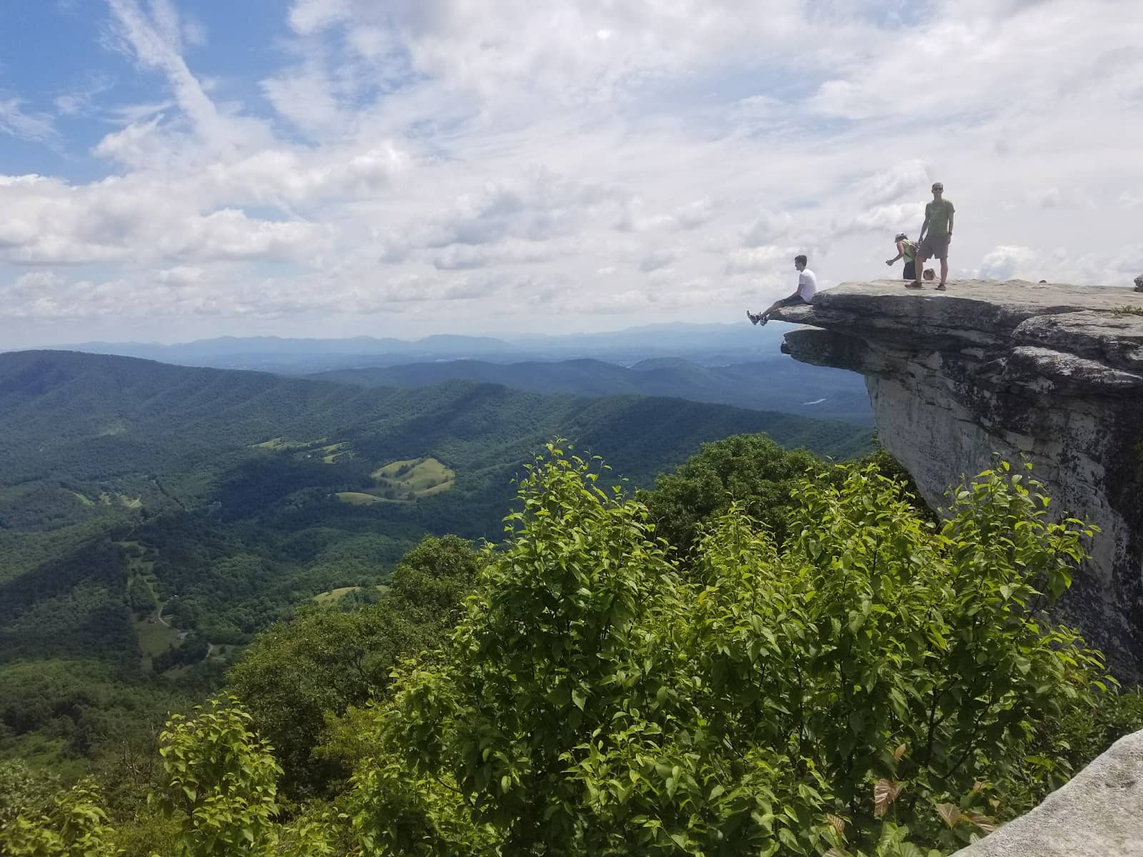
Steep Hill Climbs
Appalachian Trail, West Hartford, VT
Challenge yourself with steep ascents offering rewarding views and a true AT hiking experience.
Plans like a pro.
Thinks like you
Planning Your Visit
Trail Conditions & Access
Resupply & Amenities
Best Times
Insider Tips
from TikTok, Instagram & Reddit
Pack for Wet Trails
Expect muddy and wet leaves, especially after rain. Waterproof boots are a must! :athletic_shoe:
Resupply in Town
West Hartford offers water and basic resupply. Hanover, NH, is a popular stop for more extensive needs. :shopping_cart:
Shuttle or Out-and-Back
For section hikes, plan for car shuttles or enjoy out-and-back hikes. 🚗
Observe Local Ecology
Take time to notice the culverts and their impact on the brook trout population. 🐟
The Appalachian Trail into CT at the NY line
If you hike I can’t recommend the AT enough. If you want to do sections you need to shuttle a car or, like we did today just hike out and back. This was CT/NY line to Bulls Bridge in Kent and back.
Tips
from all over the internet
Pack for Wet Trails
Expect muddy and wet leaves, especially after rain. Waterproof boots are a must! :athletic_shoe:
Resupply in Town
West Hartford offers water and basic resupply. Hanover, NH, is a popular stop for more extensive needs. :shopping_cart:
Shuttle or Out-and-Back
For section hikes, plan for car shuttles or enjoy out-and-back hikes. 🚗
Observe Local Ecology
Take time to notice the culverts and their impact on the brook trout population. 🐟
What Travellers Say
Reviews Summary
The Appalachian Trail in West Hartford offers a challenging yet rewarding hiking experience with beautiful natural scenery, including the White River crossing and opportunities for ecological observation. While the trail can be demanding with steep climbs and wet conditions, it provides a genuine taste of the AT.
What People Like
What People Dislike
Frequently Asked Questions
🚇 🗺️ Getting There
Access points to the Appalachian Trail in West Hartford, Vermont, are typically via trailheads that connect to the main AT path. Many hikers use this section as part of a longer thru-hike or section hike, often requiring car shuttles or planning out-and-back routes.
Parking availability can vary. It's advisable to research specific trailhead parking information for the section you plan to hike. Some popular access points might have designated parking areas.
Public transportation options directly to AT trailheads in rural areas like West Hartford are generally limited. Most visitors rely on private vehicles or organized shuttles.
Roads leading to trail access points can be rural and may be affected by weather. It's wise to check local road conditions, especially during or after inclement weather.
Comprehensive AT maps are available from various sources, including the Appalachian Trail Conservancy. Local hiking apps and websites may also provide detailed maps for the West Hartford area.
🎫 🎫 Tickets & Entry
Generally, no specific permit is required for day hiking or section hiking the Appalachian Trail. However, regulations can change, and it's always best to check with the Appalachian Trail Conservancy or local land managers for the most current information.
The Appalachian Trail itself is a public footpath and does not have an entrance fee. However, some parking areas or adjacent recreational areas might have associated fees.
The Appalachian Trail is open 24/7. Access is generally unrestricted, though specific parking areas might have posted hours.
Dispersed camping is permitted along much of the AT, adhering to Leave No Trace principles. However, there are specific regulations regarding camping distances from water sources and shelters, which can vary by section.
The AT is technically accessible year-round, but winter conditions can make hiking challenging and potentially dangerous due to snow, ice, and extreme cold.
🎫 🧭 Onsite Experience
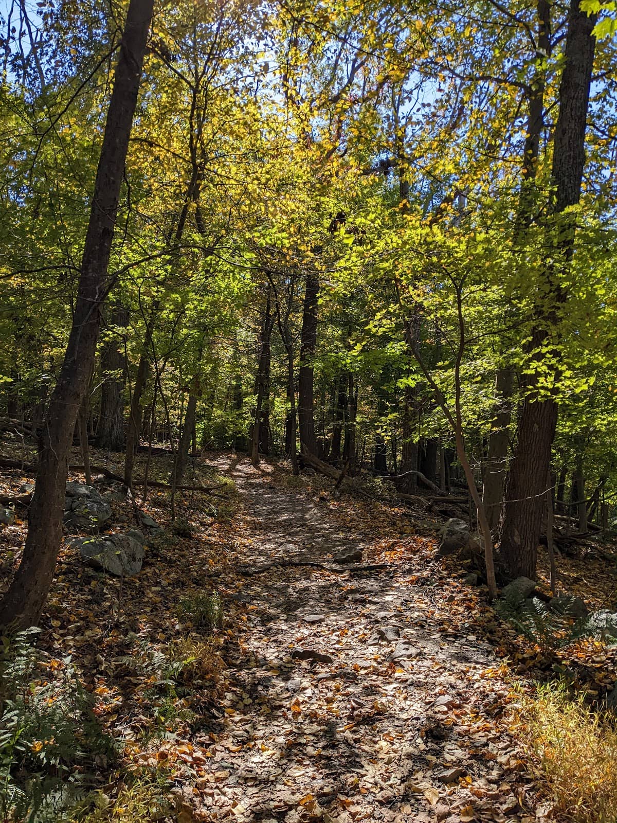
The terrain in West Hartford can be varied, featuring steep hills, rocky sections, and potentially muddy or leaf-covered paths, especially after rain.
The AT has a system of shelters and designated campsites. Hikers should consult AT maps or resources to identify their locations and availability.
You might encounter various wildlife, including birds, small mammals, and potentially larger animals. Observing the brook trout in the culverts is also a unique ecological experience.
Cell service can be spotty to non-existent along many sections of the Appalachian Trail, including in rural Vermont. It's best to download offline maps and inform someone of your hiking plans.
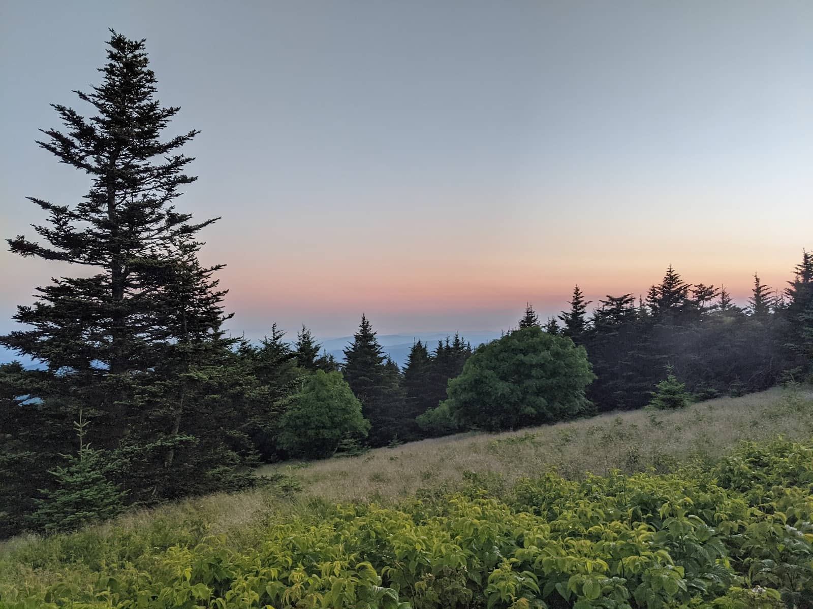
While specific viewpoints are not detailed in the provided content, steep hill climbs often lead to scenic overlooks. Keep an eye out for natural clearings and higher elevations.
🍽️ 🍽️ Food & Dining
West Hartford itself offers some basic resupply options. For more substantial dining, hikers often head to nearby towns like Hanover, NH, which has a Dartmouth College dining hall known for its all-you-can-eat options.
Water sources are available along the AT, but it's crucial to treat all water before drinking to prevent illness. Some hikers opt to carry a water filter or purification tablets.
Thru-hikers often rely on lightweight, non-perishable foods like dehydrated meals, energy bars, nuts, and dried fruit. Resupply points allow them to replenish their supplies.
Information on specific restaurants in West Hartford is limited, but it's a small town. Hikers often rely on general stores for snacks or plan meals in larger nearby towns.
Hanover, NH, is a popular stop for AT hikers, offering options like the Dartmouth dining hall for an all-you-can-eat experience, as well as a local co-op for resupply.
📸 📸 Photography
Look for scenic views from the steep hills, the picturesque White River crossing, and the unique ecological observations at the culverts. +1
Early morning and late afternoon often provide the best light for photography, with softer shadows and warmer tones.
The White River crossing is a notable landmark. The natural beauty of the forest and the challenging terrain also offer great photographic subjects.
A durable camera or smartphone with good battery life is essential. Consider a lightweight tripod for low-light conditions or stable shots.
Focus on capturing the scale of the landscape, the details of the trail, and the effort involved in the hike. Including yourself or other hikers can add a sense of adventure. +1


Social
from TikTok, Instagram & Reddit