
Blue Dot Trail
Conquer Mt. Tammany for breathtaking Delaware Water Gap views via challenging Red Dot or scenic Blue Dot trails.
Highlights
Must-see attractions

Social
From TikTok & Reddit
Best Time
Fewer crowds, cooler temps
Blue Dot Trail
Best Time
Fewer crowds, cooler temps
Highlights
Must-see attractions
Conquer Mt. Tammany for breathtaking Delaware Water Gap views via challenging Red Dot or scenic Blue Dot trails.

🎯 Red Dot Up, Blue Dot Down
Most hikers recommend ascending the Red Dot for views and descending the Blue Dot for a gentler, creek-side path.
🚗 Arrive Early for Parking
Popular trail! Parking fills up fast, especially on weekends. Aim to arrive before 9 AM.

Quick Facts
Highlights
Discover the most iconic attractions and experiences
Delaware Water Gap Views
Summit of Mt. Tammany
Panoramic vistas of the Delaware Water Gap await. Absolutely breathtaking, especially during fall.
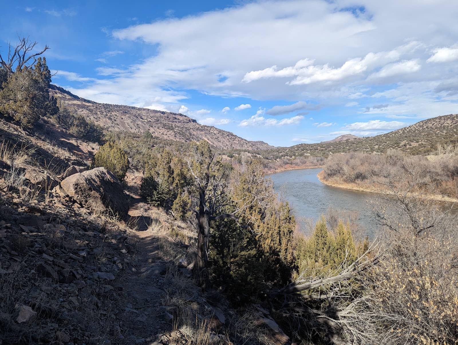
Tranquil Blue Dot Descent
Blue Dot Trail
A peaceful return trip following a creek, often with small waterfalls. A refreshing contrast to the Red Dot climb.
Challenging Red Dot Ascent
Red Dot Trail
A steep, rocky climb that tests your endurance but rewards with incredible summit views.
Plans like a pro.
Thinks like you
Planning Your Visit
Conquer Mt. Tammany: Red Dot vs. Blue Dot
Beat the Crowds & Prepare for the Climb
Best Times
Insider Tips
from TikTok, Instagram & Reddit
🎯 Red Dot Up, Blue Dot Down
Most hikers recommend ascending the Red Dot for views and descending the Blue Dot for a gentler, creek-side path. +1
🚗 Arrive Early for Parking
Popular trail! Parking fills up fast, especially on weekends. Aim to arrive before 9 AM.
👟 Sturdy Hiking Shoes Needed
Both trails can be rocky and steep. Proper footwear is essential for safety and comfort. +1
💧 Bring Plenty of Water
It's a strenuous hike, especially the Red Dot. Stay hydrated to make the most of your trek.
Tips
from all over the internet
🎯 Red Dot Up, Blue Dot Down
Most hikers recommend ascending the Red Dot for views and descending the Blue Dot for a gentler, creek-side path. +1
🚗 Arrive Early for Parking
Popular trail! Parking fills up fast, especially on weekends. Aim to arrive before 9 AM.
👟 Sturdy Hiking Shoes Needed
Both trails can be rocky and steep. Proper footwear is essential for safety and comfort. +1
💧 Bring Plenty of Water
It's a strenuous hike, especially the Red Dot. Stay hydrated to make the most of your trek.
🐶 Dog-Friendly Trail
Well-behaved dogs are welcome, but assess their abilities as it's a challenging hike. +1
🐻 Bear Sightings Possible
Black bears have been spotted in the area. Be aware of your surroundings and store food properly.
What Travellers Say
Reviews Summary
Hikers rave about the stunning panoramic views from Mt. Tammany, especially the vistas of the Delaware Water Gap. The option to loop between the challenging Red Dot and the more serene Blue Dot trails is a major draw. Some visitors find the Red Dot extremely strenuous, and parking can be a significant challenge on busy days.
What People Like
What People Dislike
Frequently Asked Questions
🚇 🗺️ Getting There
Mt. Tammany is located in the Delaware Water Gap National Recreation Area in New Jersey. The trailhead is accessible from I-80. Parking is available at the lot near the intersection of Mountain Road and Trinity Church Road. +1
Yes, there is a parking lot at the base of the trails. However, it's very popular and can fill up quickly, especially on weekends and during peak seasons. Arriving early is highly recommended.
Public transportation options to the immediate trailhead are limited. It's generally recommended to drive. If using ride-sharing services, confirm with the driver about drop-off and pick-up availability.
The main trails are well-marked with red and blue dots. Using a trail map app like AllTrails can be helpful for tracking your progress and understanding the loop options.
Restroom facilities are typically available at the main trailhead parking area, though availability can vary. It's always a good idea to use facilities before you start your hike.
🎫 🎫 Tickets & Entry
No, hiking Mt. Tammany is free! There are no admission fees to access the trails or the parking area.
The trails are generally open from dawn to dusk. There are no official 'closing' hours, but it's advisable to complete your hike before dark for safety reasons.
No, booking time slots is not required as it's a free, public trail. However, due to its popularity, arriving early is the best strategy to avoid crowds.
While Mt. Tammany itself is free to access, some areas within the larger Delaware Water Gap National Recreation Area may have fees for specific facilities or activities. Check the official NPS website for the most current information.
Since Mt. Tammany is free, no tickets are needed. If you plan to visit other areas within the National Recreation Area that require fees, it's best to check the NPS website for online purchase options or pay at designated stations.
🎫 🧭 Onsite Experience
The Blue Dot Trail is generally considered moderate to difficult, especially when combined with the Red Dot. It's less steep and rocky than the Red Dot, with a more gradual incline and a pleasant creek-side path. +1
The combined Red Dot and Blue Dot loop is approximately 3.6 to 4 miles, depending on the exact path taken. Some sources list it up to 10 miles for longer variations. +2
You'll be rewarded with stunning panoramic views of the Delaware Water Gap, the Delaware River, and the surrounding Kittatinny Mountains. The summit views are particularly spectacular.
Yes, the Blue Dot Trail often features small, picturesque waterfalls and follows a creek, providing a refreshing and scenic element to the hike. +1
The Blue Dot Trail is more beginner-friendly than the Red Dot, but the entire hike can still be challenging due to elevation gain. Beginners might consider hiking only a portion of the Blue Dot or opting for a less strenuous trail in the area.
📸 📸 Photography
The summit offers the most iconic panoramic views of the Delaware Water Gap. Along the Blue Dot Trail, the creek and small waterfalls provide lovely, more intimate photo opportunities.
Early morning or late afternoon light can be beautiful for photography, offering softer light and potentially fewer crowds. Golden hour can create stunning shots of the landscape.
Drone usage is subject to National Park Service regulations. Check the official NPS website for the Delaware Water Gap National Recreation Area for current rules and restrictions regarding drone operation.
A wide-angle lens is great for capturing the expansive views. A sturdy tripod can be useful for low-light conditions or long exposures of waterfalls. Don't forget a protective case for your gear, especially if it might get wet near the creek.
The main overlook at the summit is a must-see for the classic Delaware Water Gap vista. The cascading water features along the Blue Dot Trail are also highly photogenic. +1
You may also like

Red Dot Trail Pajarito Springs

Falls Trail Bandelier

Jemez Mountain Trail Scenic Byway

White Rock British Columbia

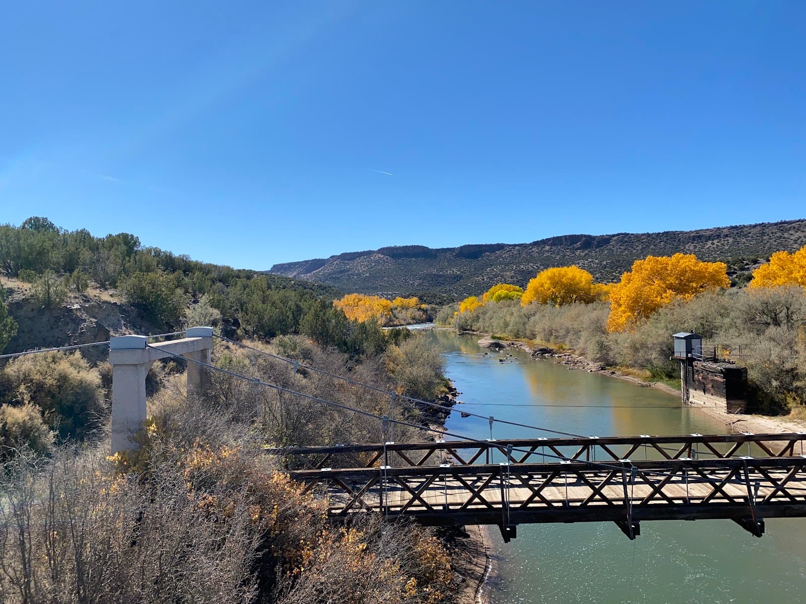
Omega Bridge Los Alamos Canyon

Tsankawi Bandelier National Monument
Red Dot Trail Pajarito Springs
Falls Trail Bandelier
Jemez Mountain Trail Scenic Byway
White Rock British Columbia
Omega Bridge Los Alamos Canyon
Tsankawi Bandelier National Monument

Bandelier National Monument

White Rock Canyon
Old Otowi Bridge

San Ildefonso Pueblo New Mexico

Social
from TikTok, Instagram & Reddit